Reeth in the Domesday Book (1086)
Reeth appears in the Domesday Book of 1086, entered under the hundred of Land of Count Alan in Yorkshire.
Other Settlements in Land of Count Alan
- Achebi
- Agglethorpe
- Ainderby [Mires]
- Ainderby [Quernhow]
- Aiskew
- Aldbrough
- Allerthorpe [Hall]
- Ascam
- Ascham
- Asebi
- Aske [Hall]
- Askrigg
- Aysgarth
- Baldersby
The Meaning of the Name
The origin of the name Reeth is not securely established from its modern form alone; like many settlement names in the North it likely combines an Old English or Old Norse personal name with a landscape term.
Remarkably, the name has changed little since 1086, when the Domesday scribes wrote it as Reeth.
Listed Buildings Near Reeth
Historic England records 45 listed buildings within about a mile of Reeth. Listing protects structures of special architectural or historic interest, graded I (exceptional), II* (particularly important) and II.
Grade II
- 8, Silver Street - 0.18 km
- Overton Lea - 0.19 km
- 2, Silver Street - 0.21 km
- Langhorne House and Langhorne Cottage - 0.24 km
- Bracken House - 0.25 km
- The Gift Shop - 0.26 km
- Overton House - 0.26 km
- The King’s Arms - 0.27 km
- Townend Hall Farmhouse - 0.27 km
- Burgoyne Hotel and front railings - 0.27 km
- The Black Bull - 0.28 km
- Victoria Cottage - 0.28 km
- The Half Moon - 0.29 km
- Fellside , South View and Hillcrest - 0.3 km
- Water Pump 25 Metres East of King’s Arms - 0.3 km
- Water Pump 25 metres south-east of Burgoyne Hotel - 0.31 km
- Wesleyan Chapel - 0.35 km
- The Olde Temperance - 0.35 km
- 1, 2 and 3, Hillary Terrace - 0.37 km
- The Green - 0.37 km
- Congregational Church - 0.39 km
- The Laurels - 0.41 km
- Sundale - 0.41 km
- Sorrel Sykes and Welbecks - 0.42 km
…and 21 more listed structures in the area.
Scheduled Monuments Near Reeth
Scheduled monuments are nationally important archaeological sites given legal protection. 5 lie within roughly a mile of Reeth:
- Bowl barrow at Swale Hall - 1.04 km
- Dyke 220yds (200m) W of Dyke House - 1.09 km
- Ring cairn on Fremington Edge 650m north east of White House - 1.33 km
- Dyke 270yds (250m) E of Dyke House - 1.43 km
- Two adjacent ring cairns on Riddings Rigg, Reeth Low Moor - 1.44 km
Reeth Today
Today Reeth lies within the administrative area of Reeth, Fremington and Healaugh, and the settlement recorded a population of 724 at recent figures. Nine and a half centuries separate that figure from the small rural community the Domesday survey recorded here in 1086.
Read more about modern Reeth on Wikipedia .
Nearby Domesday Settlements
Other places recorded in the 1086 survey within a few miles:
- Fremington - 1.0 km E
- Grinton - 1.4 km SE
- Marrick - 4.1 km E
- Ellerton Abbey - 4.5 km SE
- Castle Bolton - 8.0 km S
- Redmire - 8.1 km S
Heritage Around Reeth
Photographs of churches, listed buildings and monuments in the vicinity, contributed by volunteers to the Geograph project and reused here under a Creative Commons licence.
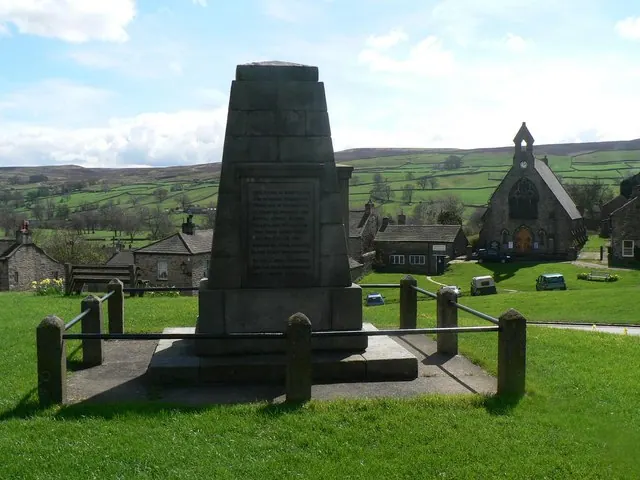
© Chris Downer · Geograph · CC BY-SA 2.0
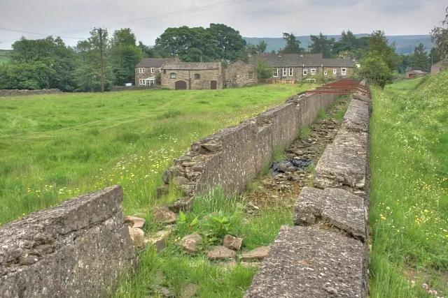
© Mick Garratt · Geograph · CC BY-SA 2.0
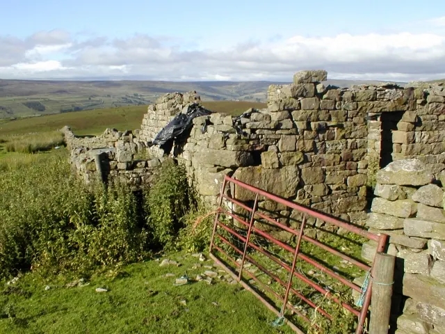
© Mick Garratt · Geograph · CC BY-SA 2.0
Images © their respective photographers, licensed under CC BY-SA 2.0 and reused here with attribution. Photographs depict listed buildings, churches and monuments near this settlement and may show neighbouring villages.
Location
54.3908°N, -1.9461°W · Land of Count Alan hundred, Yorkshire
View larger map on OpenStreetMap →Data derived from the Open Domesday project (opendomesday.org), based on the Domesday Book dataset compiled by Professor J.J.N. Palmer and team. The Domesday Book (1086) is in the public domain.
Found an inaccuracy? [email protected]