Reestones in the Domesday Book (1086)
The settlement of Reestones is recorded in William I’s Domesday survey of 1086, entered under the hundred of Morley in Yorkshire.
Other Settlements in Morley
- Allerton
- Armley
- Batley
- Beeston
- Bolton
- Bowling
- Bradford
- Bramley
- Calverley
- Carlton
- Chellow [Grange]
- Clayton
- Clifton
- Cruttonstall
The Meaning of the Name
The origin of the name Reestones is not securely established from its modern form alone; like many settlement names in the North it likely combines an Old English or Old Norse personal name with a landscape term.
Remarkably, the name has changed little since 1086, when the Domesday scribes wrote it as Reestones.
Listed Buildings Near Reestones
Historic England records 26 listed buildings within about a mile of Reestones. Listing protects structures of special architectural or historic interest, graded I (exceptional), II* (particularly important) and II.
Grade II*
- Church of St Bartholomew - 0.79 km
- Armley Prison: Inner Range - 0.95 km
- Armley Prison: Entrance Range and Flanking Walls - 1.0 km
- Armley Prison: Revetment Wall on East Side of Gloucester Terrace - 1.02 km
Grade II
- Highfield House - 0.46 km
- Premises of Kirk Hall and Company (Former Methodist Chapel) - 0.57 km
- The Beech Public House - 0.62 km
- Balks House - 0.66 km
- Upper Wortley Primary School - 0.76 km
- Boundary Wall to Church of St Bartholomew With Lych Gate - 0.81 km
- 2, Kildare Terrace - 0.94 km
- The Star - 0.98 km
- Former Jacob Kramer College - 0.98 km
- Former Jacob Kramer College: wall, gatepiers and gates to Whitehall Road - 0.98 km
- Armley Public Library - 1.1 km
- Lower Wortley Community Centre with attched railings and gates - 1.13 km
- Malt Shovel Public House - 1.13 km
- Lodge, Gate Piers, Gates to Cliff House and Flanking Walls - 1.13 km
- Cliff House Cliff House School - 1.16 km
- School in Forster Place - 1.17 km
- Former Methodist Church and attached railings - 1.19 km
- Gate Piers and Railings to Tower Court - 1.24 km
- 6 and 8, Canal Road - 1.26 km
- Tower Court - 1.26 km
…and 2 more listed structures in the area.
Reestones Today
Today Reestones lies within the administrative area of Leeds.
Read more about modern Wortley on Wikipedia .
Nearby Domesday Settlements
Other places recorded in the 1086 survey within a few miles:
Heritage Around Reestones
Photographs of churches, listed buildings and monuments in the vicinity, contributed by volunteers to the Geograph project and reused here under a Creative Commons licence.
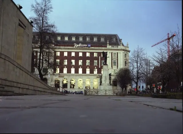
© Mike Wallis · Geograph · CC BY-SA 2.0
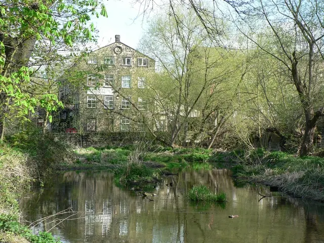
© Rich Tea · Geograph · CC BY-SA 2.0
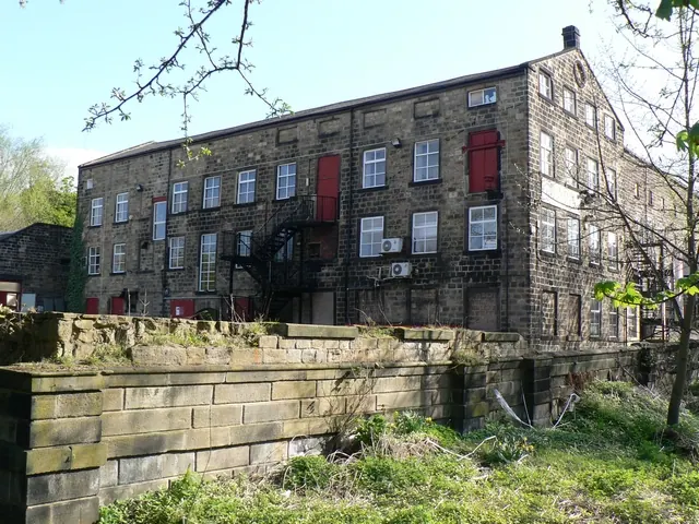
© Rich Tea · Geograph · CC BY-SA 2.0
Images © their respective photographers, licensed under CC BY-SA 2.0 and reused here with attribution. Photographs depict listed buildings, churches and monuments near this settlement and may show neighbouring villages.
Data derived from the Open Domesday project (opendomesday.org), based on the Domesday Book dataset compiled by Professor J.J.N. Palmer and team. The Domesday Book (1086) is in the public domain.
Found an inaccuracy? [email protected]