Redmere in the Domesday Book (1086)
Redmere is named in the Domesday Book, compiled by Norman commissioners in 1086, entered under the hundred of Holderness [South Hundred] in Yorkshire. The survey assessed Redmere at 1.5 carucates of taxable land.
At the time of the survey, Redmere supported a recorded population of 14 smallholders, 8 freemanmen, working 4 ploughs between them.
By 1086 Redmere was worth 2.58 shillings, up from 1.85 shillings before the Conquest – in contrast to many Yorkshire neighbours whose valuations collapsed.
The survey lists 4 manors at Redmere under different lords. Splitting a single settlement between multiple tenants was common across the North – Saxon estates broken up and handed to William’s followers after 1066.
Resources Recorded at Redmere (1086)
- Churches: 1
- Cattle: 2
- Pigs: 15
- Sheep: 60
- Horses (cobs): 1
- Meadow: 4 acres
Other Settlements in Holderness [South Hundred]
- Andrebi
- Burstwick
- Camerton [Hall]
- Dimlington
- Easington
- Grimston
- Halsham
- Hilston
- Hollym
- Holmpton
- Keyingham
- Kilnsea
- Monkwith
- Newton [Garth]
The Meaning of the Name
The name Redmere is of Anglo-Saxon origin. Its final element derives from the Old English word mere, a pool or lake, while the first element appears to represent red. Taken together the name probably meant something close to ’the red pool’.
Remarkably, the name has changed little since 1086, when the Domesday scribes wrote it as Redmere.
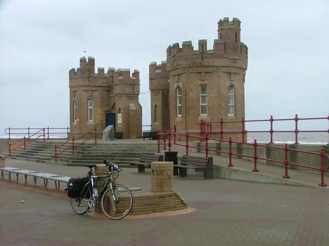
Listed Buildings Near Redmere
Historic England records 6 listed buildings within about a mile of Redmere. Listing protects structures of special architectural or historic interest, graded I (exceptional), II* (particularly important) and II.
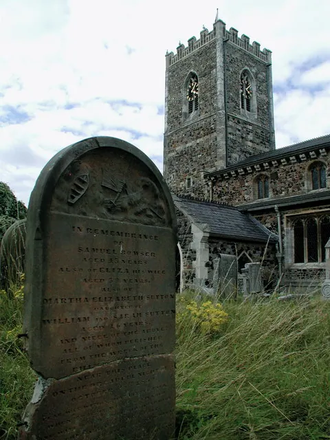
Grade II*
- Church of St Nicholas - 1.02 km
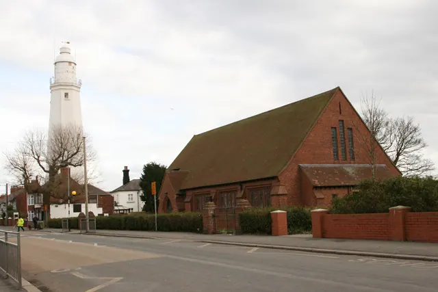
Grade II
- Church of St Matthew (C of E) - 0.58 km
- Withernsea Lighthouse and Adjoining Pair of Lighthouse Keepers Houses - 0.59 km
- Outbuildings, Adjoining Garden Wall and Gateway at Withernsea Lighthouse - 0.64 km
- Queen Victoria Diamond Jubilee Commemorative Lamp Standard - 1.1 km
- Withernsea Old War Memorial - 1.11 km
Nearby Domesday Settlements
Other places recorded in the 1086 survey within a few miles:
- Owthorne - 1.0 km E
- Withernsea - 1.4 km SE
- Waxholme - 1.4 km NW
- Rimswell - 2.0 km W
- Hollym - 3.2 km S
- Great and Little Newsome - 3.6 km SW
Heritage Around Redmere
Photographs of churches, listed buildings and monuments in the vicinity, contributed by volunteers to the Geograph project and reused here under a Creative Commons licence.
© Malc McDonald · Geograph · CC BY-SA 2.0
© Paul Glazzard · Geograph · CC BY-SA 2.0
© Peter Church · Geograph · CC BY-SA 2.0
Images © their respective photographers, licensed under CC BY-SA 2.0 and reused here with attribution. Photographs depict listed buildings, churches and monuments near this settlement and may show neighbouring villages.
Location
53.7355°N, 0.0241°E · Holderness [South Hundred] hundred, Yorkshire
View larger map on OpenStreetMap →Data derived from the Open Domesday project (opendomesday.org), based on the Domesday Book dataset compiled by Professor J.J.N. Palmer and team. The Domesday Book (1086) is in the public domain.
Found an inaccuracy? [email protected]