Redcliff in the Domesday Book (1086)
Redcliff appears in the Domesday Book of 1086, entered under the hundred of Chester in Cheshire.
Other Settlements in Chester
The Meaning of the Name
The name Redcliff is of Anglo-Saxon origin. Its final element derives from the Old English word clif, a cliff or steep slope, while the first element appears to represent red. Taken together the name probably meant something close to ’the red slope’.
Remarkably, the name has changed little since 1086, when the Domesday scribes wrote it as Redcliff.
Listed Buildings Near Redcliff
Historic England records 556 listed buildings within about a mile of Redcliff. Listing protects structures of special architectural or historic interest, graded I (exceptional), II* (particularly important) and II.
Grade II*
- Church of St Paul - 0.22 km
- Chester Leadworks and Shot Tower - 0.28 km
Grade II
- Numbers 1, 1A, 1B, 2 and 3 Sandown Terrace and Area Railings and Walls - 0.01 km
- The Little Oak Public House - 0.06 km
- Old Government House - 0.07 km
- Numbers 119 and 121 and Garden Wall - 0.11 km
- 123, Boughton - 0.14 km
- Uffington House - 0.15 km
- Richmond Place - 0.16 km
- Obelisk Cenotaph to George Marsh, Martyr - 0.16 km
- Numbers 129 and 131 and Walls and Railings - 0.18 km
- Number 133 and Garden Wall - 0.18 km
- Number 143 and Garden Wall - 0.21 km
- Boundary Wall to Number 17 Tower Summerhouse and Boundary Wall to Number 14A (Number 14A Not Included) - 0.22 km
- 145 and 147, Boughton - 0.22 km
- Hoole Lane Lock - 0.23 km
- Campbell Memorial Hall (Excluding East Entrance) and Former Cottage - 0.24 km
- Numbers 1-17 and Garden Walls and Steps - 0.26 km
- Chester House, Garden Chambers and Wall - 0.26 km
- River Wall and Railings Before Deva Terrace - 0.27 km
- East Entrance to Campbell Memorial Hall - 0.27 km
- Barrel Well House - 0.28 km
- Drinking Fountain at Junction With Boughton - 0.29 km
- 1, 3 AND 5, CHRISTLETON ROAD (See details for further address information) - 0.31 km
…and 532 more listed structures in the area.
Scheduled Monuments Near Redcliff
Scheduled monuments are nationally important archaeological sites given legal protection. 9 lie within roughly a mile of Redcliff:
- St John’s Church (ruined portions) - 0.73 km
- Roman amphitheatre (southern part) - 0.82 km
- Abbey Green Roman site - 1.04 km
- St Nicholas’ Chapel - 1.04 km
- The Little Abbey Gateway, Northgate Street - 1.12 km
- Dee Bridge - 1.13 km
- The walls, towers, gates and posterns of the City of Chester - 1.18 km
- Roman quarry including Edgar’s Cave and the rock-cut figure of Minerva on Edgar’s Field, 150m south west of Dee Bridge - 1.25 km
- Chester Castle (part) - 1.32 km
Nearby Domesday Settlements
Other places recorded in the 1086 survey within a few miles:
- Chester - 1.0 km W
- Netherleigh - 1.0 km S
- Boughton - 1.4 km SE
- Overleigh - 1.4 km SW
- Newton by Chester - 2.0 km N
- Handbridge - 2.0 km S
Heritage Around Redcliff
Photographs of churches, listed buildings and monuments in the vicinity, contributed by volunteers to the Geograph project and reused here under a Creative Commons licence.
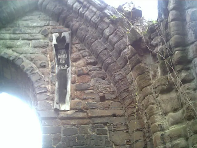
© chestertouristcom · Geograph · CC BY-SA 2.0
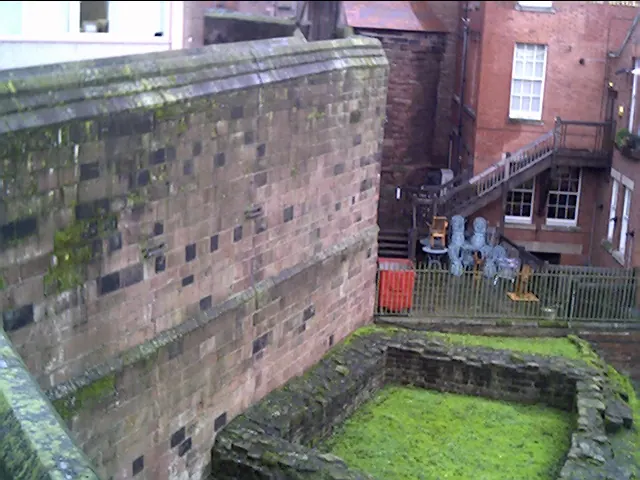
© chestertouristcom · Geograph · CC BY-SA 2.0
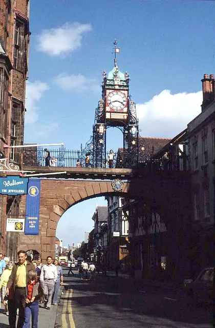
© Frank Airey · Geograph · CC BY-SA 2.0
Images © their respective photographers, licensed under CC BY-SA 2.0 and reused here with attribution. Photographs depict listed buildings, churches and monuments near this settlement and may show neighbouring villages.
Data derived from the Open Domesday project (opendomesday.org), based on the Domesday Book dataset compiled by Professor J.J.N. Palmer and team. The Domesday Book (1086) is in the public domain.
Found an inaccuracy? [email protected]