Rawdon in the Domesday Book (1086)
The settlement of Rawdon is recorded in William I’s Domesday survey of 1086, entered under the hundred of Skyrack in Yorkshire. The survey assessed Rawdon at 0.9 carucates of taxable land.
At the time of the survey, Rawdon supported a recorded population of 4 smallholders, 5 freemanmen, working 1 plough between them.
By 1086 Rawdon was worth 1.71 shillings, up from 1.21 shillings before the Conquest – a sign this community came through the Conquest without being ruined.
The survey lists 2 manors at Rawdon under different lords. Splitting a single settlement between multiple tenants was common across the North – Saxon estates broken up and handed to William’s followers after 1066.
Resources Recorded at Rawdon (1086)
- Meadow: 2 acres
- Woodland: 10 None
Other Settlements in Skyrack
- Adel
- Allerton [Bywater]
- Alwoodley
- Arthington
- Austhorpe
- Baildon
- Bardsey
- Barwick [in Elmet]
- Bichertun
- Bicherun
- Bingley
- Birkby [Hill]
- Bramhope
- Burden [Head]
The Meaning of the Name
The name Rawdon is of Anglo-Saxon origin. Its final element derives from the Old English word dūn, a hill. The first element is most likely a personal name or an early descriptive term, now difficult to recover with certainty. Taken together the name probably meant something close to ‘a hill’.
Remarkably, the name has changed little since 1086, when the Domesday scribes wrote it as Rawdon.
Listed Buildings Near Rawdon
Historic England records 28 listed buildings within about a mile of Rawdon. Listing protects structures of special architectural or historic interest, graded I (exceptional), II* (particularly important) and II.
Grade II*
- Rawdon Hall - 0.54 km
Grade II
- Old Larkfield and Larkfield Cottage - 0.22 km
- Rawdon Free School - 0.39 km
- Ivy Cottage - 0.5 km
- Church of St Peter - 0.51 km
- Exley Tomb Chest Approximately 3 Metres South of 3Rd Bay of Aisle of Church of St St Peter - 0.51 km
- Monumental Hird Slab Approximately 1 Metre From 2Nd Bay of Aisle of Church of St Peter - 0.51 km
- Foster Monument Approximately 1 Metre South of East Bay of Chancel of Church of St Peter - 0.52 km
- Group of 4 Hardaker and Booth Monuments Approximately 1 Metre East of East Wall of Chancel of Church of St Peter - 0.52 km
- Group of 5 Monuments Approximately 9 Metres South of Church of St Peter - 0.52 km
- Group of 4 Hird and Longbottam Monuments From Approximately 1 Metre South of Chancel of Church of St Peter - 0.52 km
- Group of 3 Hird Monuments Approximately 3 Metres South East of Chancel of Church of St Peter - 0.53 km
- Numbers 6 and 7 Stoney Croft - 0.54 km
- Crow Trees - 0.61 km
- Layton Hall - 0.67 km
- Layton Ghyll - 0.75 km
- Micklefield House - 0.88 km
- Shrog Products and Pickwikett, Low Fold - 0.95 km
- Meeting House Cottage With Attached Stable - 0.98 km
- Entrance Gateway to Friends’ Meeting House, With Attached Front Wall - 1.0 km
- Rawdon Quaker Meeting House - 1.0 km
- Buckstone Hall - 1.02 km
- Dove Cottage (Now Incorporating the Former Buckstone Cottage) - 1.18 km
- Woodleigh Hall - 1.24 km
…and 4 more listed structures in the area.
Scheduled Monuments Near Rawdon
Scheduled monuments are nationally important archaeological sites given legal protection. 1 lies within roughly a mile of Rawdon:
Rawdon Today
Today Rawdon lies within the administrative area of Leeds, and the settlement recorded a population of 6,992 at the 2021 census. Nine and a half centuries separate that figure from the small rural community the Domesday survey recorded here in 1086.
Read more about modern Rawdon on Wikipedia .
Nearby Domesday Settlements
Other places recorded in the 1086 survey within a few miles:
Heritage Around Rawdon
Photographs of churches, listed buildings and monuments in the vicinity, contributed by volunteers to the Geograph project and reused here under a Creative Commons licence.
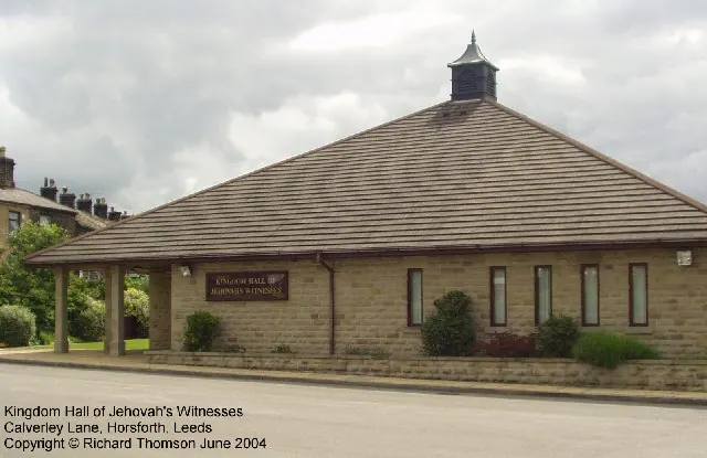
© Rich Tea · Geograph · CC BY-SA 2.0
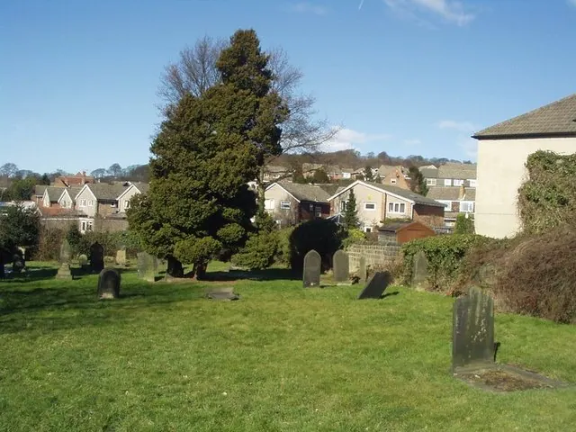
© Rich Tea · Geograph · CC BY-SA 2.0
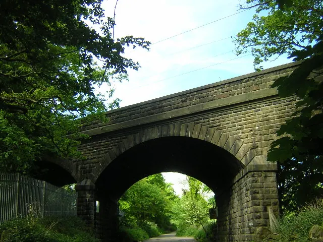
© Mark Morton · Geograph · CC BY-SA 2.0
Images © their respective photographers, licensed under CC BY-SA 2.0 and reused here with attribution. Photographs depict listed buildings, churches and monuments near this settlement and may show neighbouring villages.
Data derived from the Open Domesday project (opendomesday.org), based on the Domesday Book dataset compiled by Professor J.J.N. Palmer and team. The Domesday Book (1086) is in the public domain.
Found an inaccuracy? [email protected]