Rawcliffe in the Domesday Book (1086)
The 1086 Domesday survey records the settlement of Rawcliffe, entered under the hundred of Bulford in Yorkshire. The survey assessed Rawcliffe at 5.2 carucates of taxable land.
At the time of the survey, Rawcliffe supported a recorded population of 7 villagers, 10 smallholders, 10 freemanmen, working 9 ploughs between them.
By 1086 Rawcliffe was worth 9.31 shillings, up from 8 shillings before the Conquest – which sets it apart from the many nearby villages left waste or devalued.
The survey lists 2 manors at Rawcliffe under different lords. Splitting a single settlement between multiple tenants was common across the North – Saxon estates broken up and handed to William’s followers after 1066.
Resources Recorded at Rawcliffe (1086)
- Mills: 1 mill
- Churches: 0
- Meadow: 2 acres
- Woodland: 172 pigs
Other Settlements in Bulford
- Aldwark
- Alne
- Barnby [House]
- Barton [le Willows]
- Beningbrough
- Bossall
- Brafferton
- Brandsby
- Bulmer
- Buttercrambe
- Carlton [Farm]
- Claxton
- Coneysthorpe
- Corburn
The Meaning of the Name
The name Rawcliffe is of Anglo-Saxon origin. Its final element derives from the Old English word clif, a cliff or steep slope. The first element is most likely a personal name or an early descriptive term, now difficult to recover with certainty. Taken together the name probably meant something close to ‘a slope’.
Remarkably, the name has changed little since 1086, when the Domesday scribes wrote it as Rawcliffe.
Listed Buildings Near Rawcliffe
Historic England records 2 listed buildings within about a mile of Rawcliffe. Listing protects structures of special architectural or historic interest, graded I (exceptional), II* (particularly important) and II.
Grade II
- Milepost Approximately 250 Metres North West of Blue Bridge - 1.25 km
- Milepost Approximately One Hundred Metres North of Whitehall - 1.29 km
Scheduled Monuments Near Rawcliffe
Scheduled monuments are nationally important archaeological sites given legal protection. 2 lie within roughly a mile of Rawcliffe:
- Roman camp on Clifton Moor, 275m NNE of Moor Farm - 1.21 km
- Roman camp on Bootham Stray, 450m north east of Moor Farm - 1.39 km
Rawcliffe Today
Today Rawcliffe lies within the administrative area of City of York, and the settlement recorded a population of 6,274 at the 2021 census. Nine and a half centuries separate that figure from the small rural community the Domesday survey recorded here in 1086.
Read more about modern Rawcliffe on Wikipedia .
Nearby Domesday Settlements
Other places recorded in the 1086 survey within a few miles:
- Nether Poppleton - 2.0 km W
- Skelton - 2.2 km NW
- Wide Open Farm - 2.2 km NW
- Clifton - 2.2 km SE
- Mortun - 3.0 km W
- Overton - 3.0 km W
Heritage Around Rawcliffe
Photographs of churches, listed buildings and monuments in the vicinity, contributed by volunteers to the Geograph project and reused here under a Creative Commons licence.
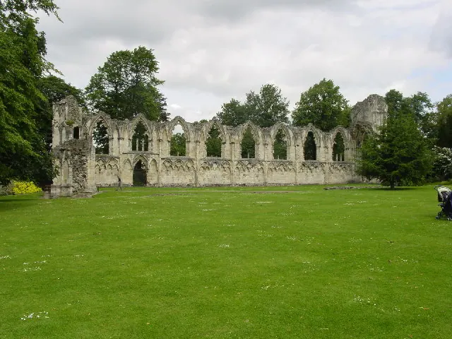
© Lyall Duffus · Geograph · CC BY-SA 2.0
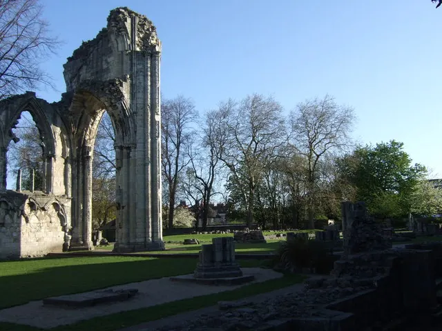
© Stanley Howe · Geograph · CC BY-SA 2.0
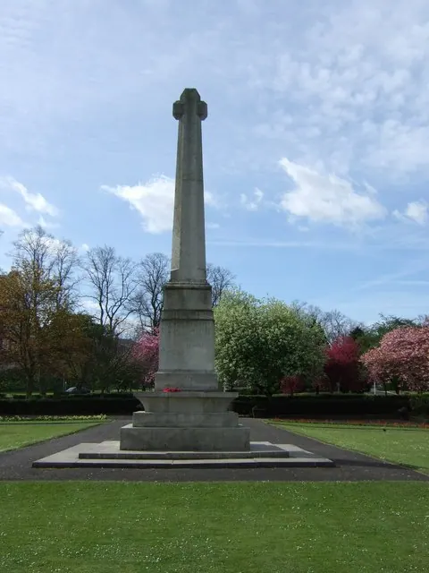
© Stanley Howe · Geograph · CC BY-SA 2.0
Images © their respective photographers, licensed under CC BY-SA 2.0 and reused here with attribution. Photographs depict listed buildings, churches and monuments near this settlement and may show neighbouring villages.
Data derived from the Open Domesday project (opendomesday.org), based on the Domesday Book dataset compiled by Professor J.J.N. Palmer and team. The Domesday Book (1086) is in the public domain.
Found an inaccuracy? [email protected]