Rawcliff Banks in the Domesday Book (1086)
The 1086 Domesday survey records the settlement of Rawcliff Banks, entered under the hundred of Langbaurgh in Yorkshire.
Other Settlements in Langbaurgh
- Acklam
- Airy [Holme]
- Aislaby
- Arnodestorp
- Baldebi
- Barnaby
- Barwick
- Battersby
- Bergolbi
- Berguluesbi
- Blaten [Carr]
- Borrowby
- Breck
- Brotton
The Meaning of the Name
The name Rawcliff Banks is of Anglo-Saxon origin. Its final element derives from the Old English word clif, a cliff or steep slope. The first element is most likely a personal name or an early descriptive term, now difficult to recover with certainty. Taken together the name probably meant something close to ‘a slope’.
Remarkably, the name has changed little since 1086, when the Domesday scribes wrote it as Rawcliff Banks.
Listed Buildings Near Rawcliff Banks
Historic England records 30 listed buildings within about a mile of Rawcliff Banks. Listing protects structures of special architectural or historic interest, graded I (exceptional), II* (particularly important) and II.
Grade II
- Guibal fanhouse at Skelton Shaft iron mine - 0.43 km
- Cart Shed, 50 Metres to North East of Waterfall Farmhouse - 0.49 km
- Animal Shelter, 40 Metres to South East of Waterfall Farmhouse - 0.5 km
- Barn, Stables, Byre and Loose Boxes to East of Waterfall Farmhouse - 0.5 km
- Farm Cottage, Adjoining Rear (North West) Wing of Waterfall Farmhouse - 0.53 km
- Waterfall Farmhouse and Rear Wing - 0.53 km
- Boundary Wall, 14 Metres West of Waterfall Farmhouse - 0.56 km
- Railway Viaduct - 0.64 km
- Railway bridge, 200 metres to east of Little Waterfall Farmhouse - 0.65 km
- Little Waterfall Farmhouse and Adjoining Outbuilding - 0.67 km
- Enclosure Wall, Adjoining North Side of Little Waterfall Farmhouse - 0.67 km
- Barn, 20 Metres to South West of Little Waterfall Farmhouse - 0.68 km
- Byre, Stables, Loose Boxes, Cart Shed and Pig Sty 20 Metres to West of Little Waterfall Farmhouse - 0.68 km
- Explosives magazine for Skelton Shaft iron mines - 0.77 km
- Railway bridge, 250 metres south west of Little Waterfall Farmhouse. - 0.93 km
- Barn, Stables, Loose Boxes, Covered Fold Yard, and Horse Gin, 35 Metres to North East of Old Park Farmhouse - 1.15 km
- Stables, 35 Metres to East of Old Park Farmhouse - 1.17 km
- Gisborough Hall, and Retaining Walls, Balustrade, Piers and Steps to South - 1.18 km
- Outbuilding and Adjoining Wall, 20 Metres to North East of Old Park Farmhouse - 1.18 km
- Old Park Farmhouse, and Rear Wing - 1.18 km
- Cart Shed, 30 Metres to East of Old Park Farmhouse - 1.18 km
- Boundary Wall, to North West, West, South and South East of Old Park Farmhouse - 1.2 km
- Stable Block (Gisborough House) Adjoining Screen Wall and Gatepiers, 45 Metres to West of Gisborough Hall - 1.23 km
- Barn, and Adjoining Horse Gin, 25 Metres to South East of Foxdale Farmhouse - 1.27 km
…and 6 more listed structures in the area.
Scheduled Monuments Near Rawcliff Banks
Scheduled monuments are nationally important archaeological sites given legal protection. 1 lies within roughly a mile of Rawcliff Banks:
- Round barrow 200m west of Airy Hill Farm - 0.87 km
Nearby Domesday Settlements
Other places recorded in the 1086 survey within a few miles:
- Guisborough - 2.0 km W
- Middleton - 2.0 km W
- Tocketts Farm - 2.2 km NW
- Skelton - 2.8 km NE
- Thornton Fields - 2.8 km NW
- Upleatham - 3.0 km N
Heritage Around Rawcliff [Banks]
Photographs of churches, listed buildings and monuments in the vicinity, contributed by volunteers to the Geograph project and reused here under a Creative Commons licence.
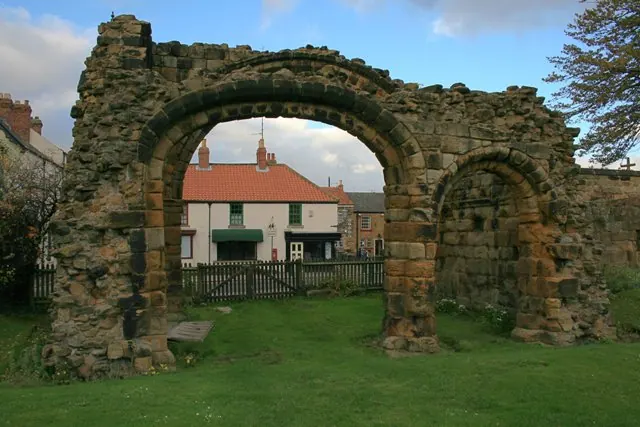
© Mick Garratt · Geograph · CC BY-SA 2.0
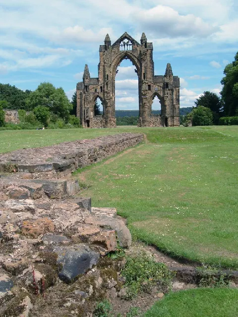
© Alison Stamp · Geograph · CC BY-SA 2.0
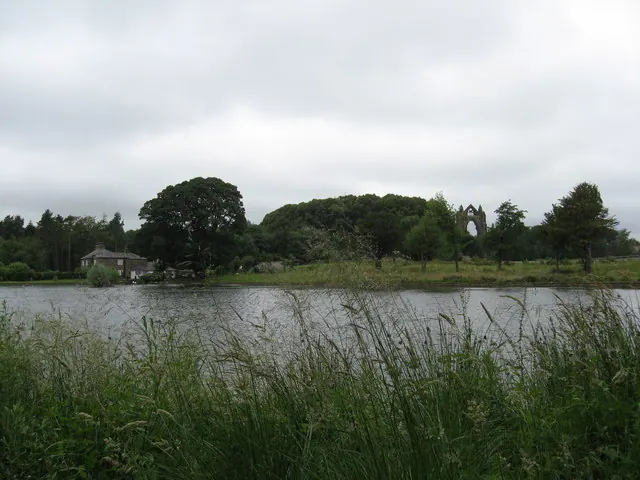
© Carol Walker · Geograph · CC BY-SA 2.0
Images © their respective photographers, licensed under CC BY-SA 2.0 and reused here with attribution. Photographs depict listed buildings, churches and monuments near this settlement and may show neighbouring villages.
Data derived from the Open Domesday project (opendomesday.org), based on the Domesday Book dataset compiled by Professor J.J.N. Palmer and team. The Domesday Book (1086) is in the public domain.
Found an inaccuracy? [email protected]