Ravenstone in the Domesday Book (1086)
Ravenstone appears in the Domesday Book of 1086, entered under the hundred of Goscote in LEC.
Other Settlements in Goscote
- Allexton
- Alton
- Anstey
- Appleby
- Appleby [Parva]
- Asfordby
- Ashby [-de-la-Zouch]
- Ashby [Folville]
- Barkby
- Barrow [-upon-Soar]
- Barsby
- Beeby
- Belgrave
- Birstall
The Meaning of the Name
The origin of the name Ravenstone is not securely established from its modern form alone; like many settlement names in the North it likely combines an Old English or Old Norse personal name with a landscape term.
Remarkably, the name has changed little since 1086, when the Domesday scribes wrote it as Ravenstone.
Listed Buildings Near Ravenstone
Historic England records 16 listed buildings within about a mile of Ravenstone. Listing protects structures of special architectural or historic interest, graded I (exceptional), II* (particularly important) and II.
Grade II*
- Church of St Michael - 0.61 km
- Ravenstone Hospital - 0.63 km
- Chaplains House and Chapel at Ravenstone Hospital - 0.63 km
- Ravenstone Hall - 0.74 km
Grade II
- Milestone outside Ravenstone Village Institute - 0.21 km
- 33-37, Main Street - 0.34 km
- Ingarsby and Warneford - 0.36 km
- 21 and 23, Main Street - 0.4 km
- The Beeches - 0.42 km
- 7, Main Street - 0.49 km
- Church of St Mary - 0.59 km
- Leacroft House - 0.6 km
- Ravenstone War Memorial - 0.6 km
- Hospital Precinct Walling Gate Piers and Gates - 0.62 km
- 1 and 2 Coach House - 0.7 km
- Coach House and Wall to Rear of Ravenstone Hall - 0.74 km
Ravenstone Today
Today Ravenstone lies within the administrative area of Ravenstone with Snibstone, and the settlement recorded a population of 2,149 at recent figures. Nine and a half centuries separate that figure from the small rural community the Domesday survey recorded here in 1086.
Read more about modern Ravenstone on Wikipedia .
Nearby Domesday Settlements
Other places recorded in the 1086 survey within a few miles:
Heritage Around Ravenstone
Photographs of churches, listed buildings and monuments in the vicinity, contributed by volunteers to the Geograph project and reused here under a Creative Commons licence.
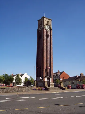
© Mark Anderson · Geograph · CC BY-SA 2.0
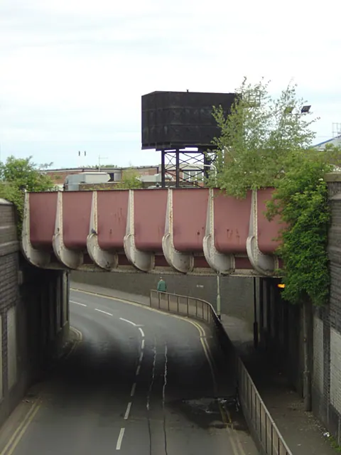
© Alan Murray-Rust · Geograph · CC BY-SA 2.0
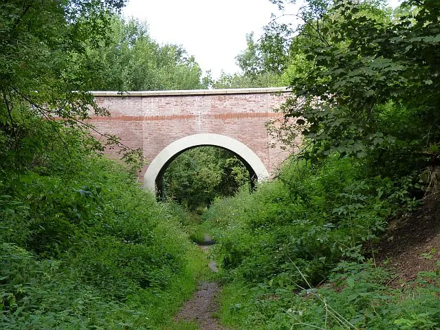
© Richard Green · Geograph · CC BY-SA 2.0
Images © their respective photographers, licensed under CC BY-SA 2.0 and reused here with attribution. Photographs depict listed buildings, churches and monuments near this settlement and may show neighbouring villages.
Data derived from the Open Domesday project (opendomesday.org), based on the Domesday Book dataset compiled by Professor J.J.N. Palmer and team. The Domesday Book (1086) is in the public domain.
Found an inaccuracy? [email protected]