Ravenfield in the Domesday Book (1086)
The settlement of Ravenfield is recorded in William I’s Domesday survey of 1086, entered under the hundred of Strafforth in Yorkshire. The survey assessed Ravenfield at 0.8 carucates of taxable land.
At the time of the survey, Ravenfield supported a recorded population of 10 villagers, 3 smallholders, 6 slaves, working 6 ploughs between them.
The survey records Ravenfield’s value at 1.5 shillings in 1086. No pre-Conquest figure survives – not unusual in the North, where records were disrupted by the Harrying and by the patchy coverage of the survey.
Resources Recorded at Ravenfield (1086)
- Cattle: 9
- Pigs: 5
- Sheep: 50
- Horses (cobs): 1
- Meadow: 23.5 acres
Other Settlements in Strafforth
- Adwick [le Street]
- Adwick [upon Dearne]
- Armthorpe
- Aston
- Attercliffe
- Auckley
- Aughton [Hall]
- Austerfield
- Balby
- Barnbrough
- Barnby [Dun]
- Bentley
- Bilham [House]
- Billingley
The Meaning of the Name
The name Ravenfield is of Anglo-Saxon origin. Its final element derives from the Old English word feld, open country. The first element is most likely a personal name or an early descriptive term, now difficult to recover with certainty. Taken together the name probably meant something close to ‘a open land’.
Remarkably, the name has changed little since 1086, when the Domesday scribes wrote it as Ravenfield.
Listed Buildings Near Ravenfield
Historic England records 11 listed buildings within about a mile of Ravenfield. Listing protects structures of special architectural or historic interest, graded I (exceptional), II* (particularly important) and II.
Grade II*
- Church of St James - 0.02 km
Grade II
- Bridge House - 0.21 km
- 2-14, Main Street - 0.34 km
- Stable Block Approximately 40 Metres to North East of Ravenfield Hall Farmhouse - 0.36 km
- Oak House - 0.37 km
- Entrance Gateway and Attached Railings to Ravenfield Hall Farm - 0.37 km
- 3 and 5, Main Street - 0.38 km
- Enclosure Wall to North of Ravenfield Hall Farmhouse With Attached Farmbuildings at South End of East Side - 0.45 km
- Farmbuilding approximately 140 metres to north of Ravenfield Hall Farmhouse - 0.47 km
- Garden Wall With Pedestrian Entrance Archway Fronting Onto Bridle Path on East Side of Firsby Hall Farm - 0.97 km
- Barn Fronting Onto Bridle Path on East Side of Firsby Hall Farmyard - 0.98 km
Ravenfield Today
Today Ravenfield lies within the administrative area of Rotherham, and the settlement recorded a population of 2,821 at the 2021 census. Nine and a half centuries separate that figure from the small rural community the Domesday survey recorded here in 1086.
Read more about modern Ravenfield on Wikipedia .
Nearby Domesday Settlements
Other places recorded in the 1086 survey within a few miles:
Heritage Around Ravenfield
Photographs of churches, listed buildings and monuments in the vicinity, contributed by volunteers to the Geograph project and reused here under a Creative Commons licence.
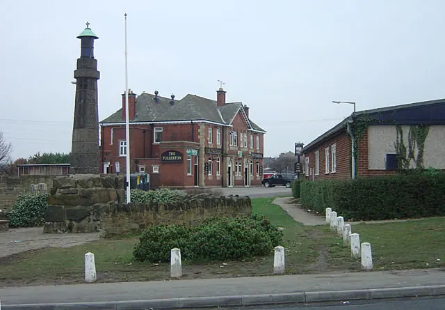
© Alan Murray-Rust · Geograph · CC BY-SA 2.0
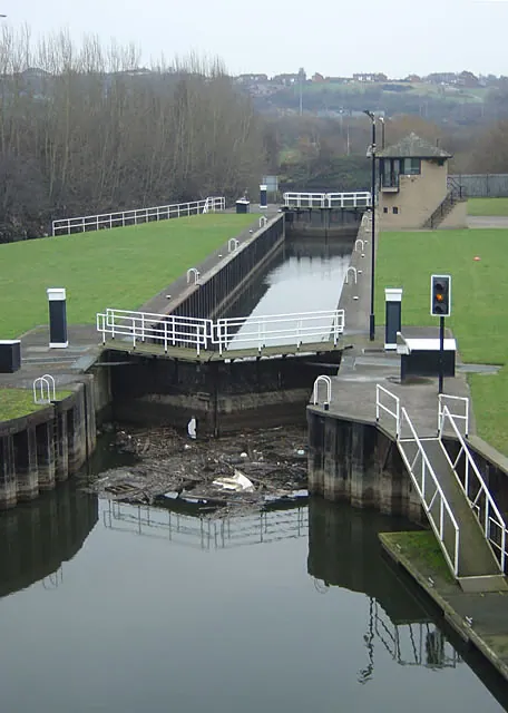
© Alan Murray-Rust · Geograph · CC BY-SA 2.0
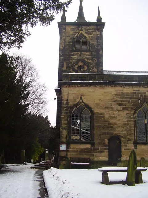
© steven ruffles · Geograph · CC BY-SA 2.0
Images © their respective photographers, licensed under CC BY-SA 2.0 and reused here with attribution. Photographs depict listed buildings, churches and monuments near this settlement and may show neighbouring villages.
Data derived from the Open Domesday project (opendomesday.org), based on the Domesday Book dataset compiled by Professor J.J.N. Palmer and team. The Domesday Book (1086) is in the public domain.
Found an inaccuracy? [email protected]