Raven Meols in the Domesday Book (1086)
Raven Meols appears in the Domesday Book of 1086, entered under the hundred of [West] Derby in Cheshire. The survey assessed Raven Meols at 26 carucates of taxable land.
At the time of the survey, Raven Meols supported a recorded population of 35 villagers, 14 smallholders, working 17 ploughs between them.
By 1086 Raven Meols was worth 5 shillings, up from 4 shillings before the Conquest – one of the few settlements in the area to hold its value through the upheaval.
Resources Recorded at Raven Meols (1086)
- Mills: 1 mill (valued at 5d)
- Churches: 1
- Woodland: 4 * 4 furlongs
Other Settlements in [West] Derby
- Ainsdale
- Allerton
- Argarmeles
- Aughton
- Barton
- Bootle
- Childwall
- Dalton
- Downholland
- Formby
- Halsall
- Hurlston
- Huyton
- Ince [Blundell]
The Meaning of the Name
The origin of the name Raven Meols is not securely established from its modern form alone; like many settlement names in the North it likely combines an Old English or Old Norse personal name with a landscape term.
Remarkably, the name has changed little since 1086, when the Domesday scribes wrote it as Raven Meols.
Listed Buildings Near Raven Meols
Historic England records 11 listed buildings within about a mile of Raven Meols. Listing protects structures of special architectural or historic interest, graded I (exceptional), II* (particularly important) and II.
Grade II
- Dean’s Cottage - 0.17 km
- Hogshill Farm - 0.29 km
- Pump and trough to south of Hogshill Farm - 0.29 km
- Old Spanker’s Cottage - 0.55 km
- Stone Cross in Centre of Roundabout - 0.63 km
- Barn to North West of Lovelady’s Farmhouse - 0.66 km
- Stables to North of Lovelady’s Farmhouse - 0.67 km
- Lovelady’s Farmhouse - 0.7 km
- Raven Meols Farm - 0.74 km
- Former Convent of Our Lady - 0.89 km
- 6, School Lane, Formby - 0.9 km
Nearby Domesday Settlements
Other places recorded in the 1086 survey within a few miles:
- Great and Little Altcar - 1.0 km E
- Formby - 1.4 km NE
- Ince Blundell - 4.2 km SE
- Ainsdale - 6.3 km N
- Barton - 6.7 km NE
- Downholland - 7.1 km E
Heritage Around [Raven] Meols
Photographs of churches, listed buildings and monuments in the vicinity, contributed by volunteers to the Geograph project and reused here under a Creative Commons licence.
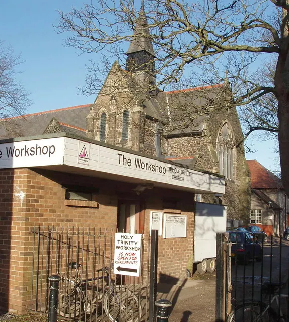
© David Hawgood · Geograph · CC BY-SA 2.0
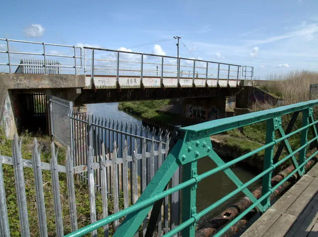
© Gary Rogers · Geograph · CC BY-SA 2.0
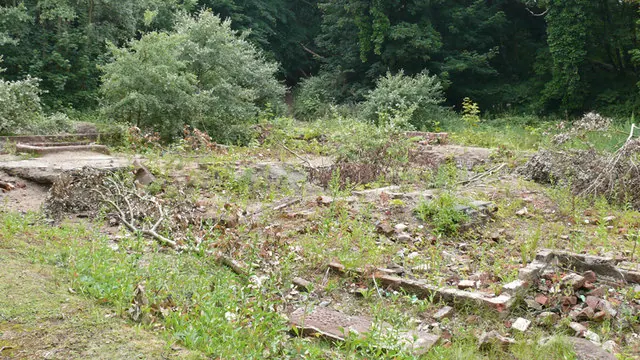
© Gary Rogers · Geograph · CC BY-SA 2.0
Images © their respective photographers, licensed under CC BY-SA 2.0 and reused here with attribution. Photographs depict listed buildings, churches and monuments near this settlement and may show neighbouring villages.
Data derived from the Open Domesday project (opendomesday.org), based on the Domesday Book dataset compiled by Professor J.J.N. Palmer and team. The Domesday Book (1086) is in the public domain.
Found an inaccuracy? [email protected]