Radholme Laund in the Domesday Book (1086)
The 1086 Domesday survey records the settlement of Radholme Laund, entered under the hundred of Craven in Yorkshire.
Other Settlements in Craven
- Addingham
- Airton
- Anley
- Appletreewick
- Arncliffe
- Arnford
- Barnoldswick
- Bashall [Eaves]
- Battersby [Barn]
- Beamsley
- Birkby [Hall]
- Bogeuurde
- Bolton [Abbey]
- Bolton [by Bowland]
The Meaning of the Name
The name Radholme Laund is of Scandinavian origin. Its final element derives from the Old Norse word holmr, an island or patch of raised ground in marsh. The first element is most likely a personal name or an early descriptive term, now difficult to recover with certainty. Taken together the name probably meant something close to ‘a island’.
Names of this type are a fingerprint of Scandinavian settlement: they cluster across the old Danelaw, where Norse-speaking settlers renamed or founded villages from the late 9th century onward.
Remarkably, the name has changed little since 1086, when the Domesday scribes wrote it as Radholme Laund.
Listed Buildings Near Radholme Laund
Historic England records 6 listed buildings within about a mile of Radholme Laund. Listing protects structures of special architectural or historic interest, graded I (exceptional), II* (particularly important) and II.
Grade II
- Crane Wood Farmhouse - 0.45 km
- Parkgate Farmhouse - 0.54 km
- Cow Ark Smithy - 0.59 km
- Cow Ark Farmhouse - 0.67 km
- Higher Lees Farmhouse - 0.68 km
- Limekiln 20 Metres North of Cow Ark Bridge - 0.73 km
Nearby Domesday Settlements
Other places recorded in the 1086 survey within a few miles:
- Sotleie - 2.0 km S
- Chipping - 4.5 km SW
- Bashall Eaves - 5.8 km SE
- Newton - 5.8 km NE
- Aighton - 6.1 km S
- Waddington - 6.3 km E
Heritage Around Radholme [Laund]
Photographs of churches, listed buildings and monuments in the vicinity, contributed by volunteers to the Geograph project and reused here under a Creative Commons licence.
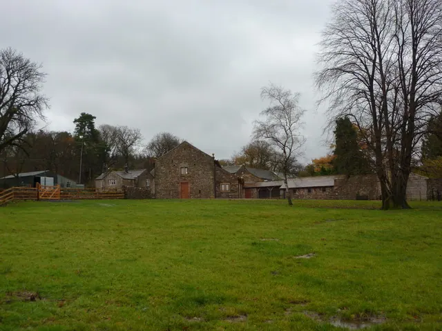
© Alexander P Kapp · Geograph · CC BY-SA 2.0
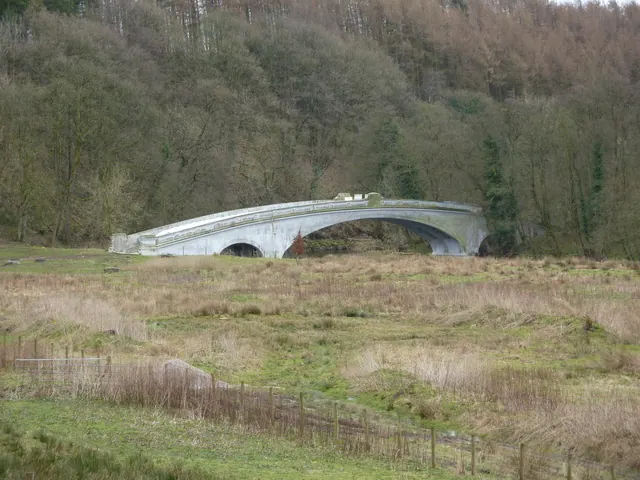
© Alexander P Kapp · Geograph · CC BY-SA 2.0
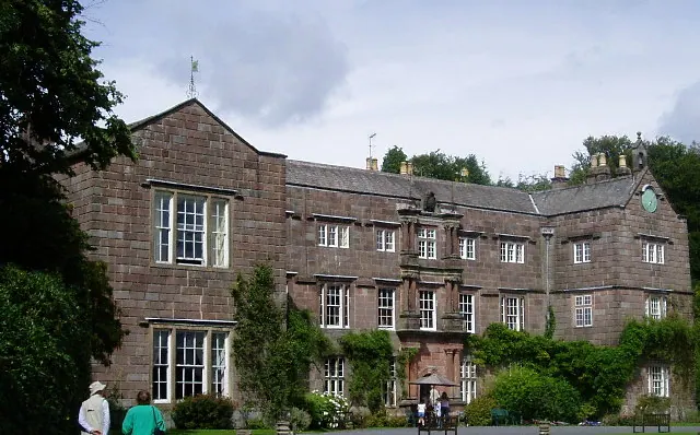
© Charles Rawding · Geograph · CC BY-SA 2.0
Images © their respective photographers, licensed under CC BY-SA 2.0 and reused here with attribution. Photographs depict listed buildings, churches and monuments near this settlement and may show neighbouring villages.
Data derived from the Open Domesday project (opendomesday.org), based on the Domesday Book dataset compiled by Professor J.J.N. Palmer and team. The Domesday Book (1086) is in the public domain.
Found an inaccuracy? [email protected]