Quarndon in the Domesday Book (1086)
Quarndon appears in the Domesday Book of 1086, entered under the hundred of Litchurch in Derbyshire.
Other Settlements in Litchurch
- Allestree
- Alvaston
- Ambaston
- Arleston
- Aston [-on-Trent]
- Barrow [-upon-Trent]
- Bearwardcote
- Boulton
- Burnaston
- Chellaston
- Cottons
- Dalbury
- Egginton
- Elvaston
The Meaning of the Name
The name Quarndon is of Anglo-Saxon origin. Its final element derives from the Old English word dūn, a hill. The first element is most likely a personal name or an early descriptive term, now difficult to recover with certainty. Taken together the name probably meant something close to ‘a hill’.
Remarkably, the name has changed little since 1086, when the Domesday scribes wrote it as Quarndon.
Listed Buildings Near Quarndon
Historic England records 8 listed buildings within about a mile of Quarndon. Listing protects structures of special architectural or historic interest, graded I (exceptional), II* (particularly important) and II.
Grade II*
- Allestree Hall - 1.28 km
Grade II
- Church of St Paul - 0.45 km
- Walls and Railings and Attached War Memorial to West of St Pauls Church - 0.45 km
- The Grange - 0.71 km
- Hall Cottages - 0.91 km
- Chalybeate Wellhouse - 1.1 km
- Barn at Bath Farm - 1.25 km
- Ice House at Allestree Hall - 1.26 km
Quarndon Today
Today Quarndon lies within the administrative area of Amber Valley, and the settlement recorded a population of 998 at the 2021 census. Nine and a half centuries separate that figure from the small rural community the Domesday survey recorded here in 1086.
Read more about modern Quarndon on Wikipedia .
Nearby Domesday Settlements
Other places recorded in the 1086 survey within a few miles:
Heritage Around Quarndon
Photographs of churches, listed buildings and monuments in the vicinity, contributed by volunteers to the Geograph project and reused here under a Creative Commons licence.
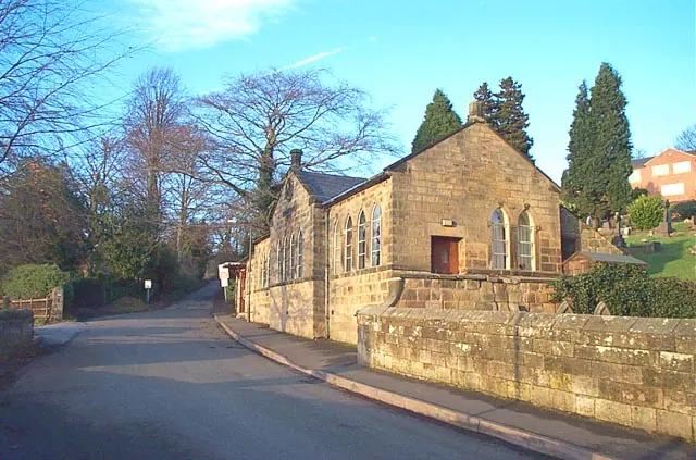
© Garth Newton · Geograph · CC BY-SA 2.0
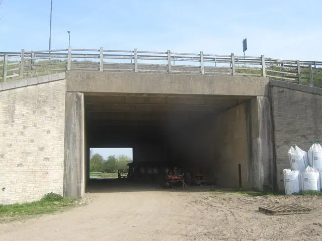
© Eamon Curry · Geograph · CC BY-SA 2.0
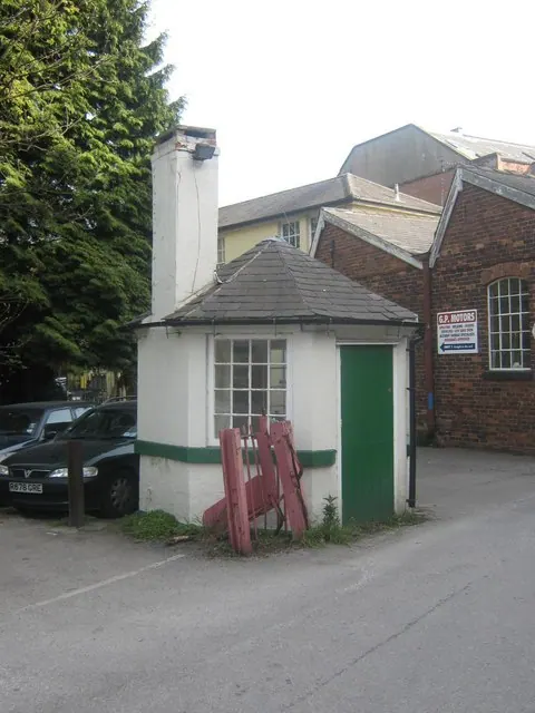
© Eamon Curry · Geograph · CC BY-SA 2.0
Images © their respective photographers, licensed under CC BY-SA 2.0 and reused here with attribution. Photographs depict listed buildings, churches and monuments near this settlement and may show neighbouring villages.
Data derived from the Open Domesday project (opendomesday.org), based on the Domesday Book dataset compiled by Professor J.J.N. Palmer and team. The Domesday Book (1086) is in the public domain.
Found an inaccuracy? [email protected]