Quarmby in the Domesday Book (1086)
Quarmby appears in the Domesday Book of 1086, entered under the hundred of Agbrigg in Yorkshire.
Other Settlements in Agbrigg
- Ackton
- Almondbury
- Austonley
- Bradley
- Cartworth
- Crigglestone
- Crofton
- Dalton
- Emley
- Farnley [Tyas]
- Flockton
- Fulstone
- Golcar
- Hepworth
The Meaning of the Name
The name Quarmby is of Scandinavian origin. Its final element derives from the Old Norse word bý, a farmstead or village. The first element is most likely a personal name or an early descriptive term, now difficult to recover with certainty. Taken together the name probably meant something close to ‘a farmstead’.
Names of this type are a fingerprint of Scandinavian settlement: they cluster across the old Danelaw, where Norse-speaking settlers renamed or founded villages from the late 9th century onward.
Remarkably, the name has changed little since 1086, when the Domesday scribes wrote it as Quarmby.
Listed Buildings Near Quarmby
Historic England records 172 listed buildings within about a mile of Quarmby. Listing protects structures of special architectural or historic interest, graded I (exceptional), II* (particularly important) and II.
Grade II*
- 59, Quarmby Fold - 0.28 km
- 47 and 49, Quarmby Fold - 0.29 km
Grade II
- Tall Block Behind Front Tower at Wellington Mills - 0.13 km
- Barn South of Numbers 5 and 7 - 0.13 km
- Front Tower at Wellington Mills - 0.14 km
- 5, Oakes Road South - 0.15 km
- 7, Oakes Road South - 0.15 km
- 2 Pairs of Gates to Churchyard of Oakes Baptist Church - 0.17 km
- Oakes Baptist Church - 0.18 km
- Lodge to Oakes School on Corner of Wellington Street - 0.2 km
- Walls to Oakes School Along School Street Oakes Road and Wellington Street Side of Playground - 0.22 km
- Oakes School - 0.23 km
- 35-39, Quarmby Fold - 0.28 km
- 61, Quarmby Fold - 0.28 km
- Barn Adjacent to Number 29 - 0.29 km
- 55, Quarmby Fold - 0.3 km
- 3 5 and 11, Quarmby Fold - 0.31 km
- 13, Quarmby Fold - 0.32 km
- Holly Bank - 0.35 km
- Stables to Former Farm at Holly Bank - 0.38 km
- Centre Block and Tower at Acre Mills - 0.47 km
- 248, Quarmby Road - 0.49 km
- Gatepiers to Acre House - 0.52 km
- 93-97, Acre Street - 0.52 km
…and 148 more listed structures in the area.
Quarmby Today
Today Quarmby lies within the administrative area of Kirklees.
Read more about modern Quarmby on Wikipedia .
Nearby Domesday Settlements
Other places recorded in the 1086 survey within a few miles:
- Lindley - 1.0 km N
- Fixby - 2.8 km NE
- Golcar - 2.8 km SW
- Old Lindley - 2.8 km NW
- Lockwood - 2.8 km SE
- Huddersfield - 3.2 km E
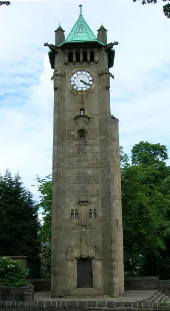
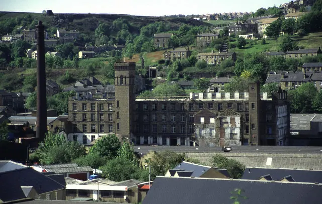
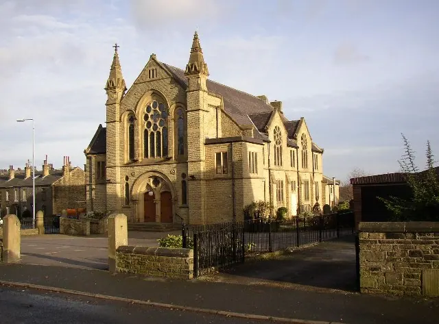
Heritage Around Quarmby
Photographs of churches, listed buildings and monuments in the vicinity, contributed by volunteers to the Geograph project and reused here under a Creative Commons licence.
© Ian M · Geograph · CC BY-SA 2.0
© Chris Allen · Geograph · CC BY-SA 2.0
© Humphrey Bolton · Geograph · CC BY-SA 2.0
Images © their respective photographers, licensed under CC BY-SA 2.0 and reused here with attribution. Photographs depict listed buildings, churches and monuments near this settlement and may show neighbouring villages.
Data derived from the Open Domesday project (opendomesday.org), based on the Domesday Book dataset compiled by Professor J.J.N. Palmer and team. The Domesday Book (1086) is in the public domain.
Found an inaccuracy? [email protected]