Pulford in the Domesday Book (1086)
Pulford is named in the Domesday Book, compiled by Norman commissioners in 1086, entered under the hundred of Duddeston in Cheshire.
Other Settlements in Duddeston
- Bettisfield
- Bickerton
- Bickley
- Boughton
- Broxton
- Burwardestone
- Burwardsley and [Higher] Burwardsley
- Caldecott
- Calvintone
- Cheaveley
- Cholmondeley
- Chowley
- Christleton
- Clutton
The Meaning of the Name
The name Pulford is of Anglo-Saxon origin. Its final element derives from the Old English word ford, a river crossing. The first element is most likely a personal name or an early descriptive term, now difficult to recover with certainty. Taken together the name probably meant something close to ‘a ford’.
Remarkably, the name has changed little since 1086, when the Domesday scribes wrote it as Pulford.
Listed Buildings Near Pulford
Historic England records 18 listed buildings within about a mile of Pulford. Listing protects structures of special architectural or historic interest, graded I (exceptional), II* (particularly important) and II.
Grade II*
- Church of St Mary - 1.26 km
Grade II
- Farmhouse of Lyndale Farm - 0.7 km
- The Schoolhouse (Former Schoolhouse and Schoolmasters House) - 0.77 km
- Oak Cottage (Formerly Police House) and Glenwood - 0.82 km
- Green Farm Cottages - 0.82 km
- Manor Cottages and Attached Storeshed and Domestic Offices - 0.85 km
- Green Paddocks - 0.87 km
- The Cottage North of Green Paddocks - 0.89 km
- The Cuckoo’s Nest - 1.0 km
- Poulton Hall Farmhouse - 1.01 km
- Pump Cottages (Including Post Office) and Outbuilding - 1.04 km
- Green Farmhouse - 1.1 km
- Park House (Formerly Garden Cottage) and Ivy Cottage - 1.13 km
- Lodge and Forecourt Wall North of Former Pulford Approach to Eaton Park - 1.19 km
- Parish Room - 1.2 km
- Pulford War Memorial - 1.2 km
- Lodge and Forecourt Wall South of Former Pulford Approach to Eaton Park - 1.21 km
- Old Rectory and Outbuilding - 1.24 km
Scheduled Monuments Near Pulford
Scheduled monuments are nationally important archaeological sites given legal protection. 2 lie within roughly a mile of Pulford:
- Belgrave moated site and medieval garden - 1.14 km
- Pulford motte and bailey castle - 1.31 km
Pulford Today
Today Pulford lies within the administrative area of Poulton and Pulford, and the settlement recorded a population of 580 at the 2011 census. Nine and a half centuries separate that figure from the small rural community the Domesday survey recorded here in 1086.
Read more about modern Pulford on Wikipedia .
Nearby Domesday Settlements
Other places recorded in the 1086 survey within a few miles:
Heritage Around Pulford
Photographs of churches, listed buildings and monuments in the vicinity, contributed by volunteers to the Geograph project and reused here under a Creative Commons licence.
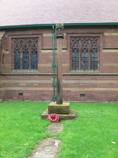
© Eirian Evans · Geograph · CC BY-SA 2.0
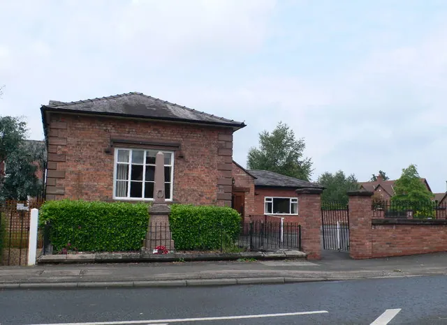
© Eirian Evans · Geograph · CC BY-SA 2.0
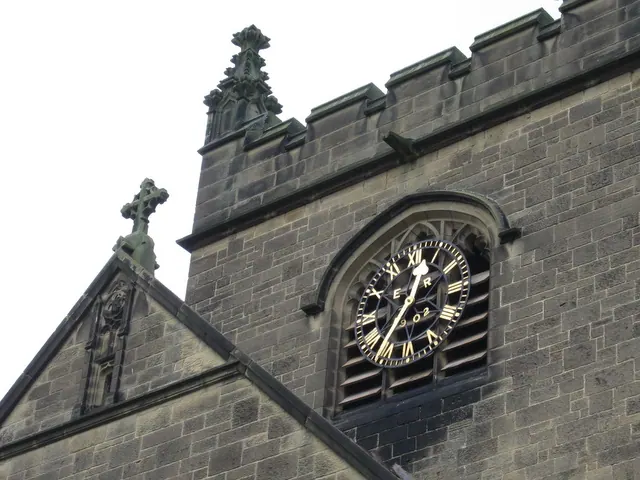
© John S Turner · Geograph · CC BY-SA 2.0
Images © their respective photographers, licensed under CC BY-SA 2.0 and reused here with attribution. Photographs depict listed buildings, churches and monuments near this settlement and may show neighbouring villages.
Data derived from the Open Domesday project (opendomesday.org), based on the Domesday Book dataset compiled by Professor J.J.N. Palmer and team. The Domesday Book (1086) is in the public domain.
Found an inaccuracy? [email protected]