Pudsey in the Domesday Book (1086)
Pudsey is named in the Domesday Book, compiled by Norman commissioners in 1086, entered under the hundred of Morley in Yorkshire.
Other Settlements in Morley
- Allerton
- Armley
- Batley
- Beeston
- Bolton
- Bowling
- Bradford
- Bramley
- Calverley
- Carlton
- Chellow [Grange]
- Clayton
- Clifton
- Cruttonstall
The Meaning of the Name
The origin of the name Pudsey is not securely established from its modern form alone; like many settlement names in the North it likely combines an Old English or Old Norse personal name with a landscape term.
Remarkably, the name has changed little since 1086, when the Domesday scribes wrote it as Pudsey.
Listed Buildings Near Pudsey
Historic England records 33 listed buildings within about a mile of Pudsey. Listing protects structures of special architectural or historic interest, graded I (exceptional), II* (particularly important) and II.
Grade II
- That Part of Beckfield Nursing Home Which Formed the Original Vicarage - 0.56 km
- Tudor House - 0.59 km
- 1, Chapeltown - 0.6 km
- Church of St Lawrence - 0.6 km
- War Memorial - 0.61 km
- Independent School - 0.63 km
- That Part of Pudsey Grangefield School Which Formed the Original Grammar School - 0.68 km
- National Westminster Bank - 0.69 km
- Trinity Methodist Church - 0.73 km
- 42 and 44, Greenside - 0.74 km
- Number 1 (The Coffee House and Calverley Fine Arts Limited ) and Number 2 (The Old Bakery) - 0.75 km
- Worlds End Wine Bar - 0.75 km
- Number 3 (Partners and the Beauty Shop) - 0.76 km
- Square One - 0.76 km
- 20 and 22, Low Town - 0.76 km
- Cottage Attached to Rear of Number 5 Forming Part of the Premises of Messers Maddleys - 0.79 km
- Leigh House - 0.82 km
- Ministers House Stanningley Baptist Church - 0.82 km
- 1 and 2, Tannery Yard - 0.92 km
- Cottage and Attached Barn Approximately 10 Metres East of Number 20 (Greentop Farm) - 0.92 km
- Former Congregational Chapel - 0.94 km
- Olivet Methodist and United Reformed Church - 0.95 km
- 13, Fartown - 0.95 km
- Church of St Paul - 0.98 km
…and 9 more listed structures in the area.
Scheduled Monuments Near Pudsey
Scheduled monuments are nationally important archaeological sites given legal protection. 1 lies within roughly a mile of Pudsey:
- Owlcotes deserted medieval village - 0.7 km
Pudsey Today
Today Pudsey lies within the administrative area of Leeds, and the settlement recorded a population of 25,393 at recent figures. Nine and a half centuries separate that figure from the small rural community the Domesday survey recorded here in 1086.
Read more about modern Pudsey on Wikipedia .
Nearby Domesday Settlements
Other places recorded in the 1086 survey within a few miles:
Heritage Around Pudsey
Photographs of churches, listed buildings and monuments in the vicinity, contributed by volunteers to the Geograph project and reused here under a Creative Commons licence.
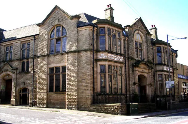
© Betty Longbottom · Geograph · CC BY-SA 2.0
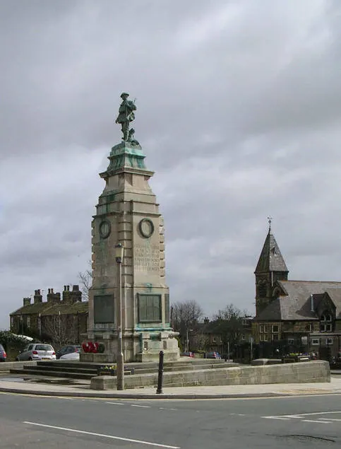
© Betty Longbottom · Geograph · CC BY-SA 2.0
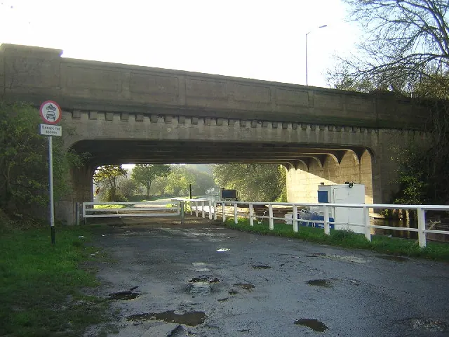
© Mark Morton · Geograph · CC BY-SA 2.0
Images © their respective photographers, licensed under CC BY-SA 2.0 and reused here with attribution. Photographs depict listed buildings, churches and monuments near this settlement and may show neighbouring villages.
Data derived from the Open Domesday project (opendomesday.org), based on the Domesday Book dataset compiled by Professor J.J.N. Palmer and team. The Domesday Book (1086) is in the public domain.
Found an inaccuracy? [email protected]