Priest Hutton in the Domesday Book (1086)
The 1086 Domesday survey records the settlement of Priest Hutton, entered under the hundred of Amounderness in Yorkshire.
Other Settlements in Amounderness
- Aighton
- Aldcliffe
- Aldingham
- Arkholme
- Aschebi
- Ashton [Hall]
- Ashton [on Ribble]
- Austwick
- Barbon
- Bardsea
- Bare
- Barnoldswick
- Barton
- Beetham
The Meaning of the Name
The name Priest Hutton is of Anglo-Saxon origin. Its final element derives from the Old English word tūn, a farmstead or village. The first element is most likely a personal name or an early descriptive term, now difficult to recover with certainty. Taken together the name probably meant something close to ‘a farmstead’.
Remarkably, the name has changed little since 1086, when the Domesday scribes wrote it as Priest Hutton.
Listed Buildings Near Priest Hutton
Historic England records 32 listed buildings within about a mile of Priest Hutton. Listing protects structures of special architectural or historic interest, graded I (exceptional), II* (particularly important) and II.
Grade I
- Borwick Hall - 1.13 km
Grade II
- Westview and Barn Ajoining to South East - 0.58 km
- 1-3, Malt Kiln - 0.58 km
- Upp Hall Farmhouse - 0.59 km
- Gibson House - 0.59 km
- Church of St Mary - 0.62 km
- K6 Telephone Kiosk - 0.62 km
- Woodbine Cottage - 0.66 km
- Rose Lea - 0.66 km
- Rockery Cottage - 0.78 km
- Bankfield House - 0.85 km
- Watson House - 0.87 km
- Entrance Gates and Two Archways to Capernwray Hall, Adjoining Borwick Logde - 0.93 km
- Keer Bridge (Number 132) - 0.99 km
- Beck House Farmhouse - 1.01 km
- Lancaster Canal Hodgson’s Bridge (Number 134) - 1.03 km
- Borwick Lodge - 1.06 km
- Pear Tree Cottage - 1.08 km
- The Green, the Eastern House of A Pair 15 Metres West of Borwick Lodge - 1.08 km
- Garden Walls and Entrance Gate to North-east and North-west of Borwick Hall - 1.08 km
- K6 Telephone Kiosk - 1.09 km
- The Cottage, 25 Metres North of Sanders Farmhouse - 1.1 km
- Sanders Farmhouse - 1.11 km
- Mansergh House - 1.11 km
…and 8 more listed structures in the area.
Scheduled Monuments Near Priest Hutton
Scheduled monuments are nationally important archaeological sites given legal protection. 2 lie within roughly a mile of Priest Hutton:
- Moated site and fishponds E of Upp Hall Farm. - 0.62 km
- Round cairn 230m east of Manor Farm - 1.36 km
Priest Hutton Today
Today Priest Hutton lies within the administrative area of Lancaster, and the settlement recorded a population of 158 at the 2021 census. Nine and a half centuries separate that figure from the small rural community the Domesday survey recorded here in 1086.
Read more about modern Priest Hutton on Wikipedia .
Nearby Domesday Settlements
Other places recorded in the 1086 survey within a few miles:
- Borwick - 1.0 km W
- Burton - 3.0 km N
- Dalton - 3.2 km N
- Nether and Over Kellet - 3.2 km S
- Yealand Conyers and Redmayne - 3.6 km NW
- Warton - 4.1 km W
Heritage Around [Priest] Hutton
Photographs of churches, listed buildings and monuments in the vicinity, contributed by volunteers to the Geograph project and reused here under a Creative Commons licence.
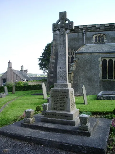
© Alexander P Kapp · Geograph · CC BY-SA 2.0
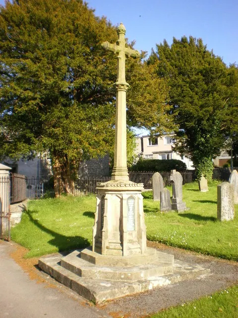
© Alexander P Kapp · Geograph · CC BY-SA 2.0
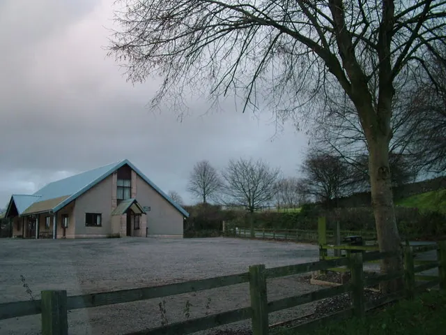
© David Brown · Geograph · CC BY-SA 2.0
Images © their respective photographers, licensed under CC BY-SA 2.0 and reused here with attribution. Photographs depict listed buildings, churches and monuments near this settlement and may show neighbouring villages.
Data derived from the Open Domesday project (opendomesday.org), based on the Domesday Book dataset compiled by Professor J.J.N. Palmer and team. The Domesday Book (1086) is in the public domain.
Found an inaccuracy? [email protected]