Preston under Scar in the Domesday Book (1086)
Preston under Scar appears in the Domesday Book of 1086, entered under the hundred of Land of Count Alan in Yorkshire.
Other Settlements in Land of Count Alan
- Achebi
- Agglethorpe
- Ainderby [Mires]
- Ainderby [Quernhow]
- Aiskew
- Aldbrough
- Allerthorpe [Hall]
- Ascam
- Ascham
- Asebi
- Aske [Hall]
- Askrigg
- Aysgarth
- Baldersby
The Meaning of the Name
The name Preston under Scar is of Anglo-Saxon origin. Its final element derives from the Old English word tūn, a farmstead or village. The first element is most likely a personal name or an early descriptive term, now difficult to recover with certainty. Taken together the name probably meant something close to ‘a farmstead’.
Remarkably, the name has changed little since 1086, when the Domesday scribes wrote it as Preston under Scar.
Listed Buildings Near Preston under Scar
Historic England records 4 listed buildings within about a mile of Preston under Scar. Listing protects structures of special architectural or historic interest, graded I (exceptional), II* (particularly important) and II.
Grade II
- Dial House - 0.5 km
- Church of Saint Margaret - 0.61 km
- Manor House - 0.65 km
- Peat Store of Keldheads Lead Smelting Mill - 1.29 km
Scheduled Monuments Near Preston under Scar
Scheduled monuments are nationally important archaeological sites given legal protection. 2 lie within roughly a mile of Preston under Scar:
- Cairn 255m south west of Moor House Farm - 0.7 km
- Keld Heads lead smelt mill and mine complex - 1.23 km
Preston under Scar Today
Today Preston under Scar lies within the administrative area of Richmondshire, and the settlement recorded a population of 169 at the 2021 census. Nine and a half centuries separate that figure from the small rural community the Domesday survey recorded here in 1086.
Read more about modern Preston-under-Scar on Wikipedia .
Nearby Domesday Settlements
Other places recorded in the 1086 survey within a few miles:
- Redmire - 2.0 km W
- Castle Bolton - 3.0 km W
- West Witton - 3.0 km S
- High and Low Thoresby - 3.2 km W
- Wensley - 3.6 km SE
- Wensley - 3.6 km SE
Heritage Around Preston [under Scar]
Photographs of churches, listed buildings and monuments in the vicinity, contributed by volunteers to the Geograph project and reused here under a Creative Commons licence.
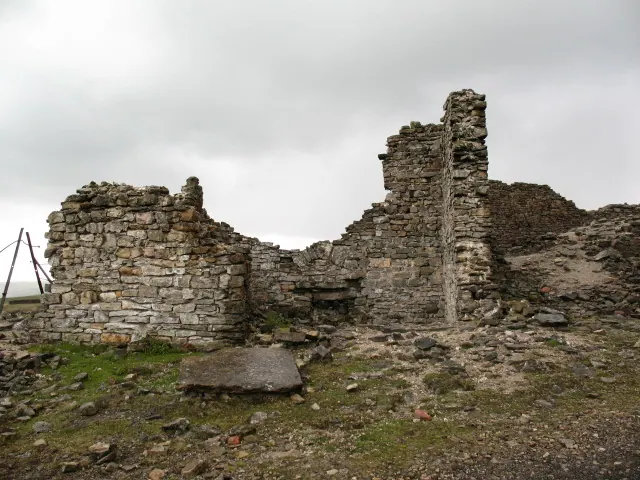
© Gordon Hatton · Geograph · CC BY-SA 2.0
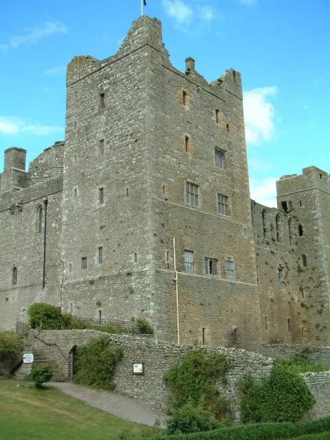
© James Allan · Geograph · CC BY-SA 2.0
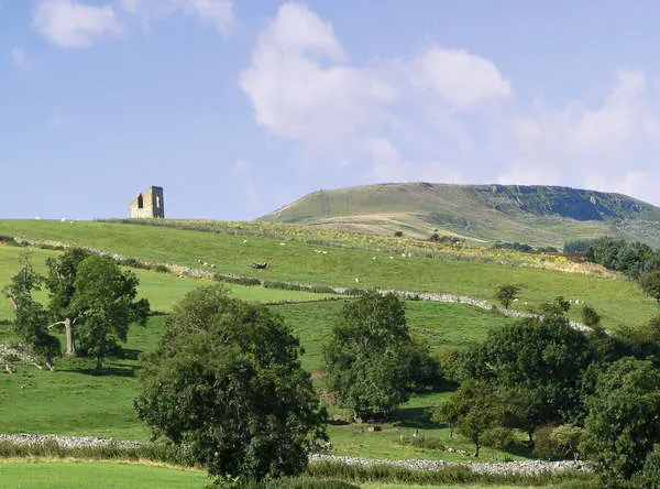
© Anthony Harrison · Geograph · CC BY-SA 2.0
Images © their respective photographers, licensed under CC BY-SA 2.0 and reused here with attribution. Photographs depict listed buildings, churches and monuments near this settlement and may show neighbouring villages.
Location
54.3189°N, -1.9001°W · Land of Count Alan hundred, Yorkshire
View larger map on OpenStreetMap →Data derived from the Open Domesday project (opendomesday.org), based on the Domesday Book dataset compiled by Professor J.J.N. Palmer and team. The Domesday Book (1086) is in the public domain.
Found an inaccuracy? [email protected]