Preston Richard in the Domesday Book (1086)
The settlement of Preston Richard is recorded in William I’s Domesday survey of 1086, entered under the hundred of Amounderness in Yorkshire.
Other Settlements in Amounderness
- Aighton
- Aldcliffe
- Aldingham
- Arkholme
- Aschebi
- Ashton [Hall]
- Ashton [on Ribble]
- Austwick
- Barbon
- Bardsea
- Bare
- Barnoldswick
- Barton
- Beetham
The Meaning of the Name
The name Preston Richard is of Anglo-Saxon origin. Its final element derives from the Old English word tūn, a farmstead or village. The first element is most likely a personal name or an early descriptive term, now difficult to recover with certainty. Taken together the name probably meant something close to ‘a farmstead’.
Remarkably, the name has changed little since 1086, when the Domesday scribes wrote it as Preston Richard.
Listed Buildings Near Preston Richard
Historic England records 14 listed buildings within about a mile of Preston Richard. Listing protects structures of special architectural or historic interest, graded I (exceptional), II* (particularly important) and II.
Grade II*
- Preston Patrick Hall - 1.11 km
Grade II
- Milestone 100 Yards South of South Lodge - 0.29 km
- Challon Hall - 0.67 km
- Preston Patrick Quaker Meeting House with attached caretaker’s house and associated gighouse/stable/schoolroom and burial ground walls - 0.76 km
- Crooklands Bridge Over Kendal Lancaster Canal Ngr 5339 8358 - 0.92 km
- Church of St Patrick - 0.96 km
- Old Hall Bridge Over Kendal/lancaster Canal Near Crooklands Ngr 5289 8382 - 0.96 km
- Aqueduct Carrying Kendal/lancaster Canal Over Peasey Beck Ngr 5347 8338 - 1.1 km
- Field End Bridge Over Kendal Lancaster Canal Ngr 5259 8499 - 1.11 km
- Waggon Shed and Barn at Right Angles to West of Preston Patrick Hall - 1.12 km
- Bank Barns Attached at Right-angles to East of Preston Patrick Hall - 1.15 km
- Milestone Approximately 400 Yards North of Mattinsons Bridge on the Kendal/lancaster Canal Ngr 524/843 - 1.17 km
- Milestone on Kendal/lancaster Canal Approximately 100 Metres South of Aqueduct Over Peasy Beck at Crooklands - 1.2 km
- Mattinsons Bridge Over Kendal/lancaster Canal Ngr 5248 8395 - 1.22 km
Scheduled Monuments Near Preston Richard
Scheduled monuments are nationally important archaeological sites given legal protection. 1 lies within roughly a mile of Preston Richard:
Preston Richard Today
Today Preston Richard lies within the administrative area of South Lakeland, and the settlement recorded a population of 1,252 at the 2021 census. Nine and a half centuries separate that figure from the small rural community the Domesday survey recorded here in 1086.
Read more about modern Preston Richard on Wikipedia .
Nearby Domesday Settlements
Other places recorded in the 1086 survey within a few miles:
- Stainton - 1.4 km NW
- Preston Patrick - 1.4 km SE
- Hincaster - 3.0 km W
- Farleton - 3.0 km S
- Heversham Head - 3.2 km W
- Lupton - 3.6 km SE
Heritage Around Preston [Richard]
Photographs of churches, listed buildings and monuments in the vicinity, contributed by volunteers to the Geograph project and reused here under a Creative Commons licence.
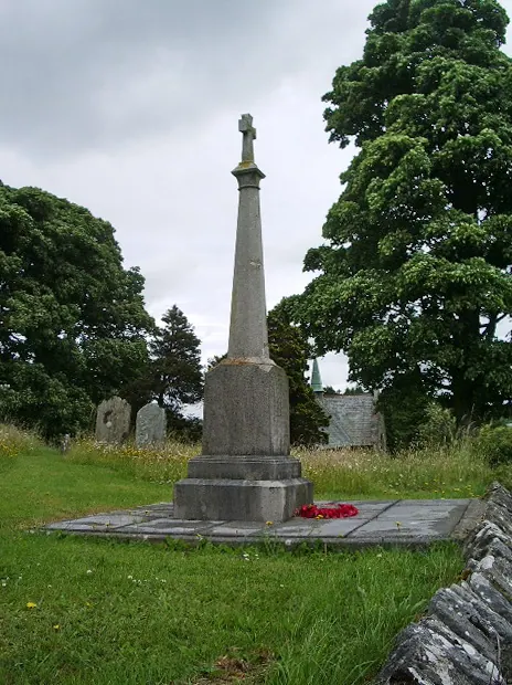
© Alexander P Kapp · Geograph · CC BY-SA 2.0
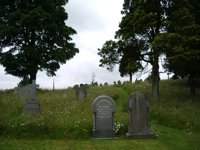
© Alexander P Kapp · Geograph · CC BY-SA 2.0
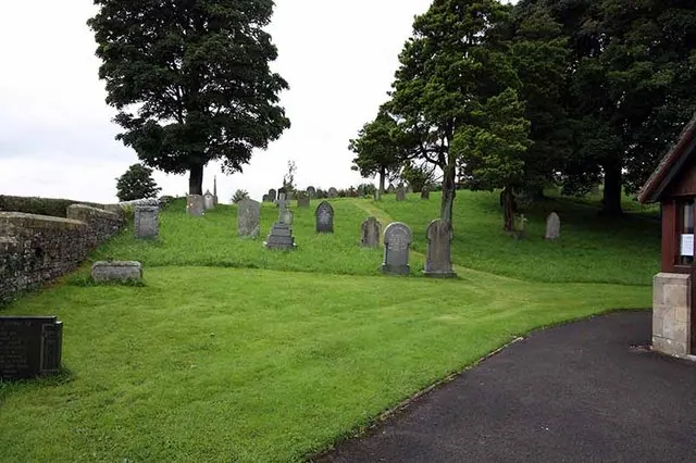
© John Salmon · Geograph · CC BY-SA 2.0
Images © their respective photographers, licensed under CC BY-SA 2.0 and reused here with attribution. Photographs depict listed buildings, churches and monuments near this settlement and may show neighbouring villages.
Data derived from the Open Domesday project (opendomesday.org), based on the Domesday Book dataset compiled by Professor J.J.N. Palmer and team. The Domesday Book (1086) is in the public domain.
Found an inaccuracy? [email protected]