Preston Patrick in the Domesday Book (1086)
The settlement of Preston Patrick is recorded in William I’s Domesday survey of 1086, entered under the hundred of Amounderness in Yorkshire. The survey assessed Preston Patrick at 6.8 carucates of taxable land.
At the time of the survey, Preston Patrick supported a recorded population of 13 villagers, 10 smallholders, 6 slaves, working 8 ploughs between them.
The survey records Preston Patrick’s value at 6 shillings in 1086. No pre-Conquest figure survives – not unusual in the North, where records were disrupted by the Harrying and by the patchy coverage of the survey.
Resources Recorded at Preston Patrick (1086)
- Mills: 1 mill (valued at 10d)
- Meadow: 16 acres
- Woodland: 2 * 2 furlongs
Other Settlements in Amounderness
- Aighton
- Aldcliffe
- Aldingham
- Arkholme
- Aschebi
- Ashton [Hall]
- Ashton [on Ribble]
- Austwick
- Barbon
- Bardsea
- Bare
- Barnoldswick
- Barton
- Beetham
The Meaning of the Name
The name Preston Patrick is of Anglo-Saxon origin. Its final element derives from the Old English word tūn, a farmstead or village. The first element is most likely a personal name or an early descriptive term, now difficult to recover with certainty. Taken together the name probably meant something close to ‘a farmstead’.
Remarkably, the name has changed little since 1086, when the Domesday scribes wrote it as Preston Patrick.
Listed Buildings Near Preston Patrick
Historic England records 13 listed buildings within about a mile of Preston Patrick. Listing protects structures of special architectural or historic interest, graded I (exceptional), II* (particularly important) and II.
Grade II*
- Preston Patrick Hall - 0.31 km
Grade II
- Bank Barns Attached at Right-angles to East of Preston Patrick Hall - 0.28 km
- Waggon Shed and Barn at Right Angles to West of Preston Patrick Hall - 0.3 km
- Preston Patrick Quaker Meeting House with attached caretaker’s house and associated gighouse/stable/schoolroom and burial ground walls - 0.68 km
- Church of St Patrick - 0.89 km
- Millness Bridge Over Kendal/lancaster Canal - 1.0 km
- Milestone on Kendal/lancaster Canal Approximately 100 Metres South of Aqueduct Over Peasy Beck at Crooklands - 1.08 km
- Milestone Approximately 50 Metres North of Seven Milestone Bridge Over Kendal/lancaster Canal - 1.11 km
- Aqueduct Carrying Kendal/lancaster Canal Over Peasey Beck Ngr 5347 8338 - 1.12 km
- Seven Milestone Bridge Over Kendal/lancaster Canal - 1.15 km
- Challon Hall - 1.17 km
- Crooklands Bridge Over Kendal Lancaster Canal Ngr 5339 8358 - 1.21 km
- Milestone 100 Yards South of South Lodge - 1.28 km
Preston Patrick Today
Today Preston Patrick lies within the administrative area of South Lakeland, and the settlement recorded a population of 410 at the 2021 census. Nine and a half centuries separate that figure from the small rural community the Domesday survey recorded here in 1086.
Read more about modern Preston Patrick on Wikipedia .
Nearby Domesday Settlements
Other places recorded in the 1086 survey within a few miles:
- Preston Richard - 1.4 km NW
- Lupton - 2.2 km SE
- Farleton - 2.2 km SW
- Stainton - 2.8 km NW
- Heversham Head - 4.0 km W
- Hincaster - 4.1 km W
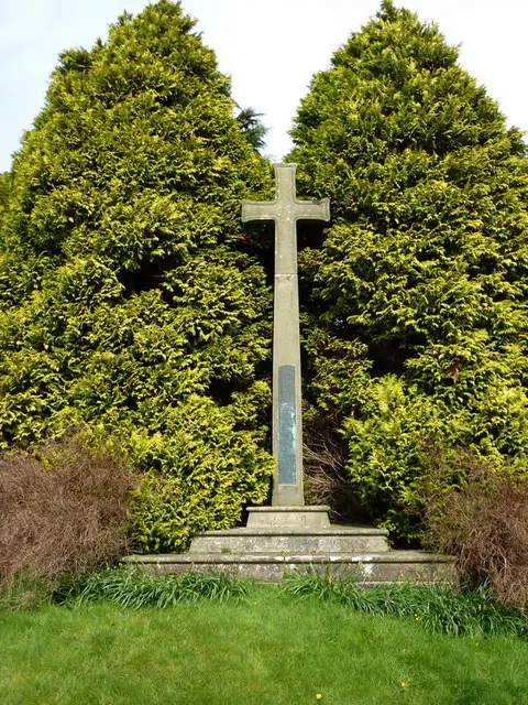
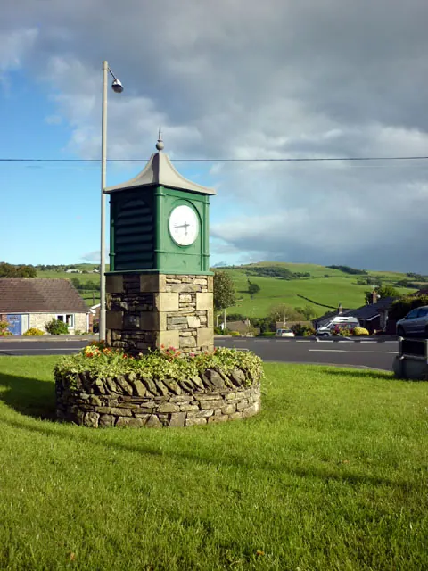
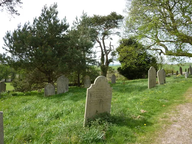
Heritage Around Preston [Patrick]
Photographs of churches, listed buildings and monuments in the vicinity, contributed by volunteers to the Geograph project and reused here under a Creative Commons licence.
© Alexander P Kapp · Geograph · CC BY-SA 2.0
© Karl and Ali · Geograph · CC BY-SA 2.0
© Alexander P Kapp · Geograph · CC BY-SA 2.0
Images © their respective photographers, licensed under CC BY-SA 2.0 and reused here with attribution. Photographs depict listed buildings, churches and monuments near this settlement and may show neighbouring villages.
Data derived from the Open Domesday project (opendomesday.org), based on the Domesday Book dataset compiled by Professor J.J.N. Palmer and team. The Domesday Book (1086) is in the public domain.
Found an inaccuracy? [email protected]