Preston in the Domesday Book (1086)
The 1086 Domesday survey records the settlement of Preston, entered under the hundred of Amounderness in Yorkshire.
Other Settlements in Amounderness
- Aighton
- Aldcliffe
- Aldingham
- Arkholme
- Aschebi
- Ashton [Hall]
- Ashton [on Ribble]
- Austwick
- Barbon
- Bardsea
- Bare
- Barnoldswick
- Barton
- Beetham
The Meaning of the Name
The name Preston is of Anglo-Saxon origin. Its final element derives from the Old English word tūn, a farmstead or village. The first element is most likely a personal name or an early descriptive term, now difficult to recover with certainty. Taken together the name probably meant something close to ‘a farmstead’.
Remarkably, the name has changed little since 1086, when the Domesday scribes wrote it as Preston.
Listed Buildings Near Preston
Historic England records 255 listed buildings within about a mile of Preston. Listing protects structures of special architectural or historic interest, graded I (exceptional), II* (particularly important) and II.
Grade II*
- Arkwright House - 0.36 km
- Church of St John the Divine - 0.41 km
Grade II
- Grimshaw Street School - 0.13 km
- Seventh Day Adventist Church - 0.14 km
- The George Hotel and Shop Adjoining to the Right - 0.15 km
- The Lamb Hotel and Shop Adjoining to the Right - 0.15 km
- Olde Blue Bell Public House - 0.18 km
- 18, Grimshaw Street - 0.18 km
- 16, Grimshaw Street - 0.19 km
- Former Unitarian Chapel - 0.21 km
- Prison Annexe (Formerly the Governor’s House) - 0.22 km
- The Old Sessions House - 0.24 km
- The Bears Paw Public House - 0.26 km
- St James Vicarage and Attached Coach House - 0.26 km
- Carey Baptist Chapel - 0.28 km
- 131A, Church Street - 0.32 km
- Church of St Mary - 0.32 km
- Gate Piers, Gates and Boundary Wall to Churchyard of Church of St Mary - 0.33 km
- The Old Dog Inn - 0.34 km
- 29,30,31, Church Street - 0.34 km
- Gate Piers and Gates to Churchyard Opposite East End of Church of St John - 0.39 km
- 35, ST AUSTIN’S ROAD (See details for further address information) - 0.39 km
- Former Church of St Paul (Now Red Rose Radio) - 0.4 km
- 30, 32 and 34 St Austin’s Road - 0.4 km
…and 231 more listed structures in the area.
Scheduled Monuments Near Preston
Scheduled monuments are nationally important archaeological sites given legal protection. 1 lies within roughly a mile of Preston:
Nearby Domesday Settlements
Other places recorded in the 1086 survey within a few miles:
- Walton -le-Dale - 1.4 km SE
- Higher and Lower Penwortham - 1.4 km SW
- Fishwick - 2.0 km E
- Ashton on Ribble - 2.2 km NW
- Broughton - 5.4 km N
- Lea - 6.1 km W
Heritage Around Preston
Photographs of churches, listed buildings and monuments in the vicinity, contributed by volunteers to the Geograph project and reused here under a Creative Commons licence.
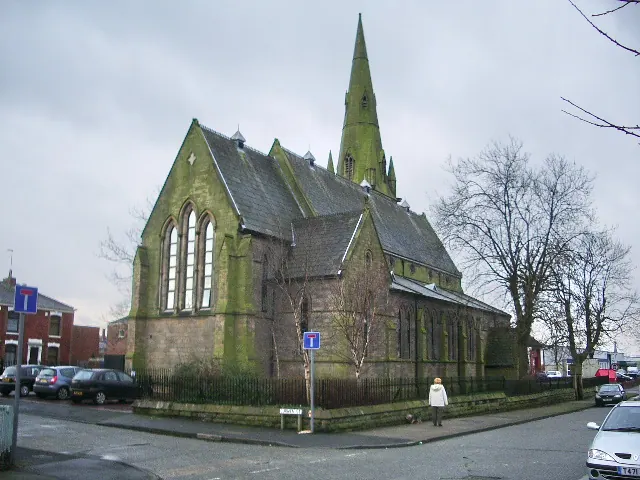
© Alexander P Kapp · Geograph · CC BY-SA 2.0
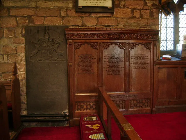
© Alexander P Kapp · Geograph · CC BY-SA 2.0
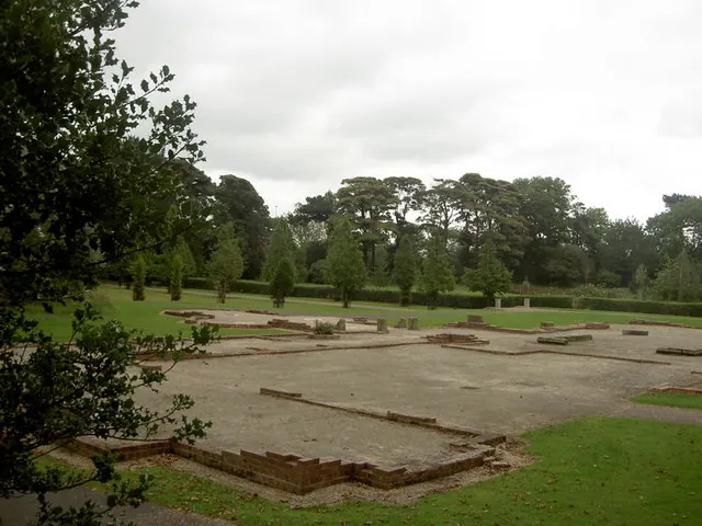
© Patrick · Geograph · CC BY-SA 2.0
Images © their respective photographers, licensed under CC BY-SA 2.0 and reused here with attribution. Photographs depict listed buildings, churches and monuments near this settlement and may show neighbouring villages.
Data derived from the Open Domesday project (opendomesday.org), based on the Domesday Book dataset compiled by Professor J.J.N. Palmer and team. The Domesday Book (1086) is in the public domain.
Found an inaccuracy? [email protected]