Poulton Hall in the Domesday Book (1086)
The 1086 Domesday survey records the settlement of Poulton Hall, entered under the hundred of Amounderness in Yorkshire. The survey assessed Poulton Hall at 1 carucate of taxable land.
At the time of the survey, Poulton Hall supported a recorded population of 2 villagers, 4 smallholders, 4 slaves, working 2 ploughs between them.
The drop in value is hard to miss. Before 1066, Poulton Hall was worth 2 shillings; by 1086 that had dropped to 1.5 shillings – a fall of 25%. Most Yorkshire villages that lost value on this scale were swept up in the Harrying of the North – William’s scorched-earth campaign of 1069–70.
Other Settlements in Amounderness
- Aighton
- Aldcliffe
- Aldingham
- Arkholme
- Aschebi
- Ashton [Hall]
- Ashton [on Ribble]
- Austwick
- Barbon
- Bardsea
- Bare
- Barnoldswick
- Barton
- Beetham
The Meaning of the Name
The name Poulton Hall is of Anglo-Saxon origin. Its final element derives from the Old English word tūn, a farmstead or village. The first element is most likely a personal name or an early descriptive term, now difficult to recover with certainty. Taken together the name probably meant something close to ‘a farmstead’.
Remarkably, the name has changed little since 1086, when the Domesday scribes wrote it as Poulton Hall.
Listed Buildings Near Poulton Hall
Historic England records 30 listed buildings within about a mile of Poulton Hall. Listing protects structures of special architectural or historic interest, graded I (exceptional), II* (particularly important) and II.
Grade II
- Mona House - 0.05 km
- Queen’s Hotel - 0.11 km
- Central Methodist Church - 0.12 km
- Art and Technical School - 0.13 km
- The Clock Tower - 0.16 km
- Poulton Hall Archway - 0.19 km
- Barclays Bank - 0.21 km
- 333, 334 and 335, Marine Road Central - 0.26 km
- 336, Marine Road Central - 0.28 km
- The Morecambe Public House - 0.29 km
- Fylde Court - 0.29 km
- 338, Marine Road Central - 0.3 km
- 4, Poulton Square - 0.31 km
- Abbotsford Eastleigh - 0.31 km
- 341, Marine Road Central - 0.32 km
- 342, Marine Road Central - 0.33 km
- Park Farmhouse - 0.34 km
- Cumbria - 0.34 km
- Church of St Lawrence - 0.37 km
- Former Morecambe Odeon Cinema, including shops to Euston Road - 0.37 km
- Parish Church of the Holy Trinity - 0.42 km
- Wall Enclosing Churchyard at Parish Church of the Holy Trinity - 0.42 km
- 217, 219 and 221, Marine Road Central - 0.46 km
- Town Hall - 0.46 km
…and 6 more listed structures in the area.
Poulton Hall Today
Today Poulton Hall lies within the administrative area of Morecambe.
Read more about modern Poulton-le-Sands on Wikipedia .
Nearby Domesday Settlements
Other places recorded in the 1086 survey within a few miles:
- Torisholme - 2.2 km SE
- Bare - 2.2 km NE
- Oxcliffe Hall - 3.6 km SE
- Higher and Lower Heysham - 3.6 km SW
- Skerton - 4.1 km E
- Slyne - 4.1 km E
Heritage Around Poulton [Hall]
Photographs of churches, listed buildings and monuments in the vicinity, contributed by volunteers to the Geograph project and reused here under a Creative Commons licence.
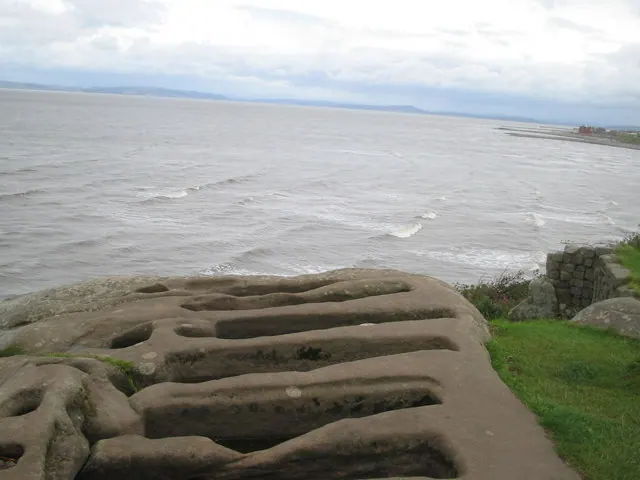
© ian saunders · Geograph · CC BY-SA 2.0
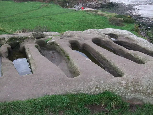
© Adie Jackson · Geograph · CC BY-SA 2.0
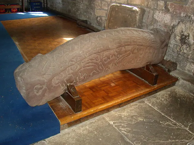
© Humphrey Bolton · Geograph · CC BY-SA 2.0
Images © their respective photographers, licensed under CC BY-SA 2.0 and reused here with attribution. Photographs depict listed buildings, churches and monuments near this settlement and may show neighbouring villages.
Data derived from the Open Domesday project (opendomesday.org), based on the Domesday Book dataset compiled by Professor J.J.N. Palmer and team. The Domesday Book (1086) is in the public domain.
Found an inaccuracy? [email protected]