Pinchinthorpe Hall in the Domesday Book (1086)
Pinchinthorpe Hall is named in the Domesday Book, compiled by Norman commissioners in 1086, entered under the hundred of Langbaurgh in Yorkshire.
Other Settlements in Langbaurgh
- Acklam
- Airy [Holme]
- Aislaby
- Arnodestorp
- Baldebi
- Barnaby
- Barwick
- Battersby
- Bergolbi
- Berguluesbi
- Blaten [Carr]
- Borrowby
- Breck
- Brotton
The Meaning of the Name
The name Pinchinthorpe Hall is of Scandinavian origin. Its final element derives from the Old Norse word þorp, an outlying or secondary farmstead. The first element is most likely a personal name or an early descriptive term, now difficult to recover with certainty. Taken together the name probably meant something close to ‘a outlying farm’.
Names of this type are a fingerprint of Scandinavian settlement: they cluster across the old Danelaw, where Norse-speaking settlers renamed or founded villages from the late 9th century onward.
Remarkably, the name has changed little since 1086, when the Domesday scribes wrote it as Pinchinthorpe Hall.
Listed Buildings Near Pinchinthorpe Hall
Historic England records 7 listed buildings within about a mile of Pinchinthorpe Hall. Listing protects structures of special architectural or historic interest, graded I (exceptional), II* (particularly important) and II.
Grade II
- High Farmhouse, North East Extension, and Adjoining Farm Buildings - 0.29 km
- Little Acre Farmhouse (High Farm Cottages on Os Plan) - 0.29 km
- Boundary Wall, to South East of High Farmhouse and Little Acre Farmhouse - 0.3 km
- Boundary Wall, Gate, and Gate Piers, North West of Pinchinthorpe Hall - 0.43 km
- Stables and Coach House Adjoining North East Corner of Pinchinthorpe Hall - 0.44 km
- Pinchinthorpe Hall and Extensions to South East and North East - 0.47 km
- Boundary Stone, Approximately 330 Metres South West of Pinchinthorpe Hall at Ngr Nz74137 - 0.74 km
Scheduled Monuments Near Pinchinthorpe Hall
Scheduled monuments are nationally important archaeological sites given legal protection. 2 lie within roughly a mile of Pinchinthorpe Hall:
- Medieval settlement remains, post mill and field system 240m north of Pinchinthorpe Hall - 0.23 km
- Pinchinthorpe Hall moated site and post medieval gardens - 0.48 km
Pinchinthorpe Hall Today
Today Pinchinthorpe Hall lies within the administrative area of Guisborough.
Read more about modern Pinchinthorpe on Wikipedia .
Nearby Domesday Settlements
Other places recorded in the 1086 survey within a few miles:
- Newton - 1.4 km SW
- Morton Grange - 2.0 km W
- Barnaby - 2.0 km N
- Upsall Hall - 2.2 km NW
- Airy Holme - 3.0 km S
- Nunthorpe - 3.2 km W
Heritage Around [Pinchin]thorpe [Hall]
Photographs of churches, listed buildings and monuments in the vicinity, contributed by volunteers to the Geograph project and reused here under a Creative Commons licence.
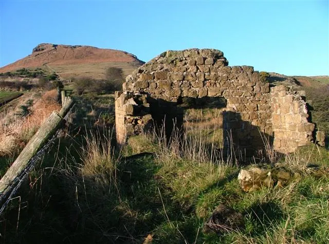
© Mick Garratt · Geograph · CC BY-SA 2.0
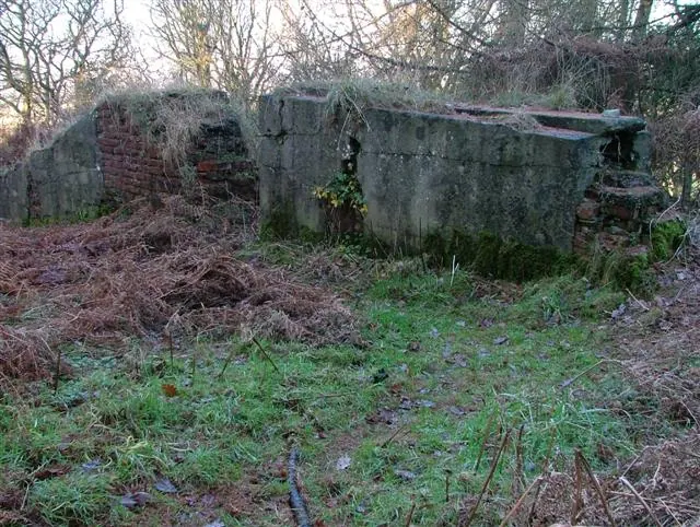
© Mick Garratt · Geograph · CC BY-SA 2.0
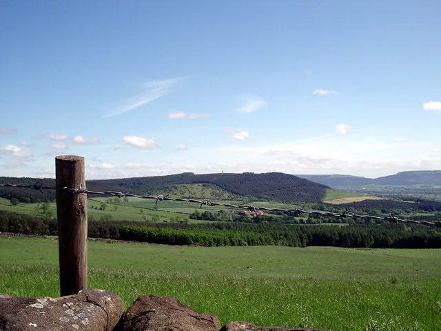
© Lee Cooper · Geograph · CC BY-SA 2.0
Images © their respective photographers, licensed under CC BY-SA 2.0 and reused here with attribution. Photographs depict listed buildings, churches and monuments near this settlement and may show neighbouring villages.
Data derived from the Open Domesday project (opendomesday.org), based on the Domesday Book dataset compiled by Professor J.J.N. Palmer and team. The Domesday Book (1086) is in the public domain.
Found an inaccuracy? [email protected]