Pilsley in the Domesday Book (1086)
The settlement of Pilsley is recorded in William I’s Domesday survey of 1086, entered under the hundred of Blackwell in Derbyshire.
Other Settlements in Blackwell
- Abney
- Ashford [-in-the-Water]
- Aston
- Bakewell
- Bamford
- Baslow
- Beeley
- Birchills
- Birchover
- Blackwell
- Bradwell
- Bubnell
- Burley
- Burton
The Meaning of the Name
The name Pilsley is of Anglo-Saxon origin. Its final element derives from the Old English word lēah, a woodland clearing or glade. The first element is most likely a personal name or an early descriptive term, now difficult to recover with certainty. Taken together the name probably meant something close to ‘a clearing’.
Remarkably, the name has changed little since 1086, when the Domesday scribes wrote it as Pilsley.
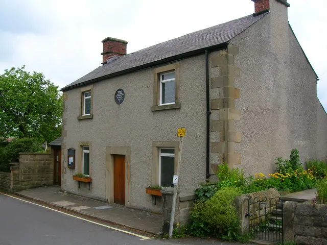
Listed Buildings Near Pilsley
Historic England records 29 listed buildings within about a mile of Pilsley. Listing protects structures of special architectural or historic interest, graded I (exceptional), II* (particularly important) and II.
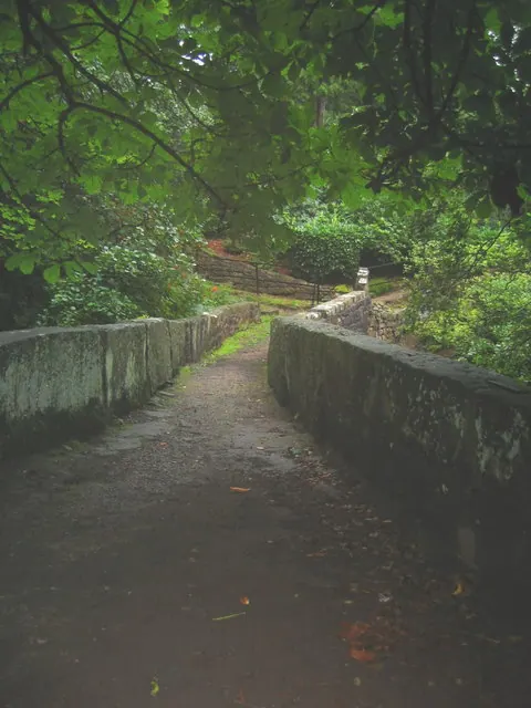
Grade I
- Baslow Bridge - 1.03 km
Grade II*
- Church of St Anne - 1.04 km
Grade II
- Thatch Meadow - 0.42 km
- Milepost at Os 250 718 - 0.6 km
- Lane Side - 0.63 km
- Cottage at East End Duck Row - 0.63 km
- The Farm - 0.64 km
- Duck Row Middle Cottage - 0.65 km
- K6 Telephone Kiosk - 0.66 km
- Duck Row Pair of Cottages at West End - 0.67 km
- Pilsley House - 0.7 km
- Top House - 0.7 km
- Smithy House and Attached Garden Wall - 0.72 km
- Pilsley Church of England School - 0.73 km
- Poole House - 0.74 km
- Bradley House Top House - 0.78 km
- Monument 10 metres South East of St Annes Church - 1.03 km
- Sundial 6 Metres South of St Annes Church - 1.03 km
- K6 Telephone Kiosk Near Toll Bar Cottage - 1.05 km
- Milepost at Os 235713 - 1.07 km
- Lychgate to Churchyard of Baslow Parish Church - 1.07 km
- Churchyard Cross Circa 40 Metres North of St Annes Church - 1.09 km
- Dunsa Kennel Cottages and Attached Outbuilding - 1.13 km
- Corner Cottage Willow Cottage - 1.13 km
…and 5 more listed structures in the area.
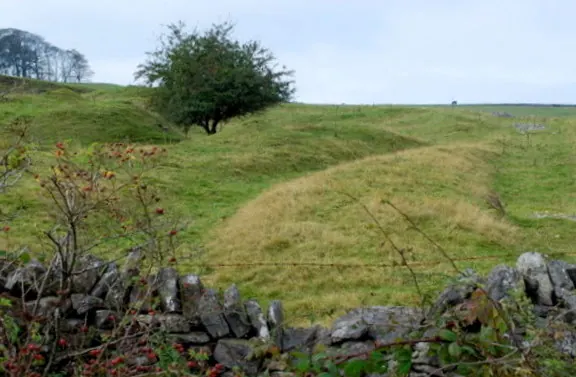
Scheduled Monuments Near Pilsley
Scheduled monuments are nationally important archaeological sites given legal protection. 2 lie within roughly a mile of Pilsley:
- Baslow Bridge - 1.04 km
- Bowl barrow and wayside cross WSW of Pilsley - 1.3 km
Pilsley Today
Today Pilsley lies within the administrative area of Derbyshire Dales, and the settlement recorded a population of 142 at the 2021 census. Nine and a half centuries separate that figure from the small rural community the Domesday survey recorded here in 1086.
Read more about modern Pilsley on Wikipedia .
Nearby Domesday Settlements
Other places recorded in the 1086 survey within a few miles:
Heritage Around Pilsley
Photographs of churches, listed buildings and monuments in the vicinity, contributed by volunteers to the Geograph project and reused here under a Creative Commons licence.
© John H Darch · Geograph · CC BY-SA 2.0
© Roger Temple · Geograph · CC BY-SA 2.0
© Geoff · Geograph · CC BY-SA 2.0
Images © their respective photographers, licensed under CC BY-SA 2.0 and reused here with attribution. Photographs depict listed buildings, churches and monuments near this settlement and may show neighbouring villages.
Data derived from the Open Domesday project (opendomesday.org), based on the Domesday Book dataset compiled by Professor J.J.N. Palmer and team. The Domesday Book (1086) is in the public domain.
Found an inaccuracy? [email protected]