Pilsbury in the Domesday Book (1086)
Pilsbury is named in the Domesday Book, compiled by Norman commissioners in 1086, entered under the hundred of Hamston in Derbyshire.
Other Settlements in Hamston
- Alsop [-en-le-Dale]
- Ashbourne
- Atlow
- Ballidon
- Bonsall
- Bradbourne
- Brassington
- Broadlowash
- Callow
- Carsington
- Cowley
- Cromford
- Elton
- Hanson [Grange]
The Meaning of the Name
The name Pilsbury is of Anglo-Saxon origin. Its final element derives from the Old English word burh, a fortified place. The first element is most likely a personal name or an early descriptive term, now difficult to recover with certainty. Taken together the name probably meant something close to ‘a stronghold’.
Remarkably, the name has changed little since 1086, when the Domesday scribes wrote it as Pilsbury.
Listed Buildings Near Pilsbury
Historic England records 6 listed buildings within about a mile of Pilsbury. Listing protects structures of special architectural or historic interest, graded I (exceptional), II* (particularly important) and II.
Grade II*
- Broadmeadow Hall - 0.27 km
Grade II
- Pilsbury Farmhouse - 0.15 km
- Pilsbury Grange - 0.19 km
- Barn and Stable 5 Metres North West of Broadmeadow Hall - 0.28 km
- High Sheen Farmhouse and Attached Stables - 1.12 km
- Harris Close - 1.21 km
Scheduled Monuments Near Pilsbury
Scheduled monuments are nationally important archaeological sites given legal protection. 2 lie within roughly a mile of Pilsbury:
- Pilsbury Castle Hills motte and bailey castle - 0.45 km
- Two bowl barrows at Pilsbury - 0.68 km
Pilsbury Today
Today Pilsbury lies within the administrative area of Hartington Town Quarter.
Read more about modern Pilsbury on Wikipedia .
Nearby Domesday Settlements
Other places recorded in the 1086 survey within a few miles:
Heritage Around Pilsbury
Photographs of churches, listed buildings and monuments in the vicinity, contributed by volunteers to the Geograph project and reused here under a Creative Commons licence.
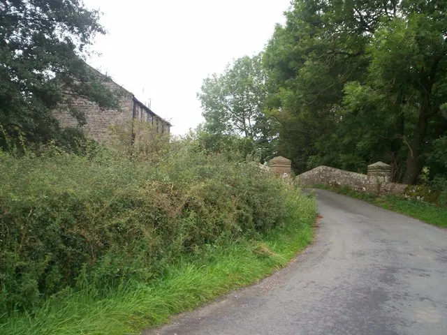
© Jonathan Clitheroe · Geograph · CC BY-SA 2.0
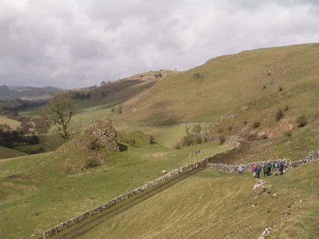
© Alan Fleming · Geograph · CC BY-SA 2.0
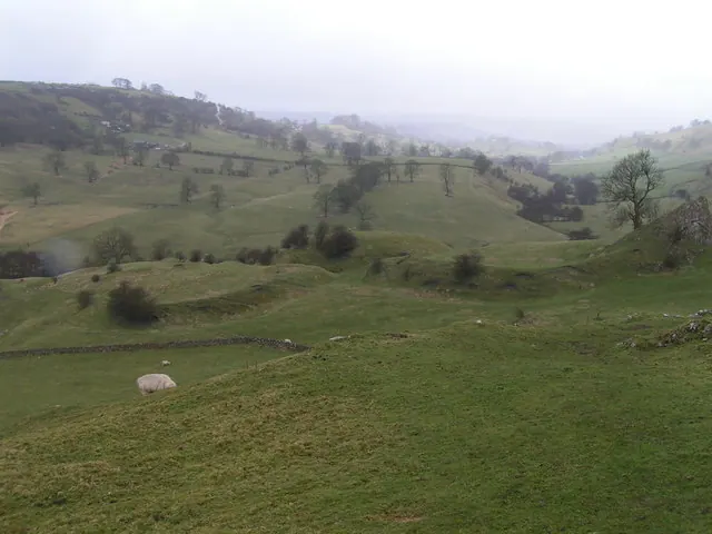
© Dave Dunford · Geograph · CC BY-SA 2.0
Images © their respective photographers, licensed under CC BY-SA 2.0 and reused here with attribution. Photographs depict listed buildings, churches and monuments near this settlement and may show neighbouring villages.
Data derived from the Open Domesday project (opendomesday.org), based on the Domesday Book dataset compiled by Professor J.J.N. Palmer and team. The Domesday Book (1086) is in the public domain.
Found an inaccuracy? [email protected]