Penistone in the Domesday Book (1086)
The 1086 Domesday survey records the settlement of Penistone, entered under the hundred of Staincross in Yorkshire.
Other Settlements in Staincross
- Adlingfleet
- Barnby [Hall]
- Barnsley
- Barugh
- Brierley
- Carlton
- Cawthorne
- Chevet
- Clactone
- Clayton [West]
- Darton
- Dodworth
- Hemsworth
- Hoyland [Swaine]
The Meaning of the Name
The origin of the name Penistone is not securely established from its modern form alone; like many settlement names in the North it likely combines an Old English or Old Norse personal name with a landscape term.
Remarkably, the name has changed little since 1086, when the Domesday scribes wrote it as Penistone.
Listed Buildings Near Penistone
Historic England records 34 listed buildings within about a mile of Penistone. Listing protects structures of special architectural or historic interest, graded I (exceptional), II* (particularly important) and II.
Grade I
- Church of St John - 0.16 km
Grade II
- Midland Bank and Bank Chambers - 0.13 km
- Cross base, in churchyard, approximately 5 metres west of west door of Church of St John - 0.15 km
- Penistone War Memorial - 0.15 km
- 8, Market Street - 0.16 km
- 1 and 3, Market Street - 0.16 km
- Milestone Built Into North Wall of Churchyard at Se 247033 - 0.17 km
- Lamp Standard in Churchyard Approximately 2 Metres South of South Porch of Church of St John - 0.17 km
- Robert Martin graveslab in churchyard approximately 1 metre west of south porch of Church of St John - 0.17 km
- Jane Greaves Graveslab in Churchyard, Approximately 2 Metres East of Chancel Door of Church of St John - 0.17 km
- 5 and 7, Market Street - 0.17 km
- Coal drops immediately west of bridge under Penistone Woodhead Railway - 0.17 km
- Cross and Shaft, in Churchyard Approximately 10 Metres South of South Porch of Church of St John - 0.18 km
- K6 Telephone Kiosk in Front of Church - 0.18 km
- Water Hall - 0.28 km
- River Bridge Approximately 80 Metres East of Number 1 Water Hall - 0.29 km
- Penistone Bridge Over River Don - 0.31 km
- 8 and 10, Thurlstone Road - 0.33 km
- Nether Mill House - 0.41 km
- Barn approximately 10 metres east of Nether Mill House - 0.42 km
- Nether Mill Cottage Nether Mill Farmhouse - 0.44 km
- Penistone Railway Viaduct on Penistone and Denby Dale Line - 0.44 km
- Milestone - 0.55 km
- Milestone Built Into Wall and Adjacent to Netherfield Congregational Chapel at Se 242039 - 0.57 km
…and 10 more listed structures in the area.
Penistone Today
Today Penistone lies within the administrative area of Barnsley, and the settlement recorded a population of 12,674 at the 2021 census. Nine and a half centuries separate that figure from the small rural community the Domesday survey recorded here in 1086.
Read more about modern Penistone on Wikipedia .
Nearby Domesday Settlements
Other places recorded in the 1086 survey within a few miles:
- Thurlstone - 1.0 km W
- Hoyland Swaine - 2.2 km NE
- Ingbirchworth - 2.8 km NW
- Roughbirchworth - 2.8 km SE
- Clactone - 3.2 km E
- Oxspring - 3.2 km E
Heritage Around Penistone
Photographs of churches, listed buildings and monuments in the vicinity, contributed by volunteers to the Geograph project and reused here under a Creative Commons licence.
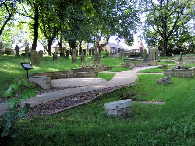
© David Ward · Geograph · CC BY-SA 2.0
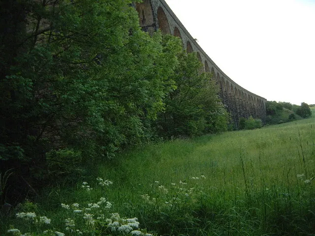
© Robin Phillips · Geograph · CC BY-SA 2.0
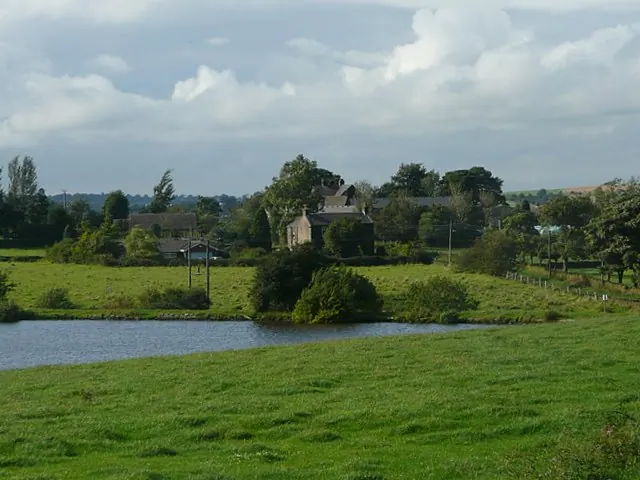
© Wendy North · Geograph · CC BY-SA 2.0
Images © their respective photographers, licensed under CC BY-SA 2.0 and reused here with attribution. Photographs depict listed buildings, churches and monuments near this settlement and may show neighbouring villages.
Data derived from the Open Domesday project (opendomesday.org), based on the Domesday Book dataset compiled by Professor J.J.N. Palmer and team. The Domesday Book (1086) is in the public domain.
Found an inaccuracy? [email protected]