Pendleton in the Domesday Book (1086)
The settlement of Pendleton is recorded in William I’s Domesday survey of 1086, entered under the hundred of Blackburn in Cheshire.
Other Settlements in Blackburn
- Bardwell
- Barnham
- Barningham
- Blackburn
- Coney Weston
- Culford
- Elmswell
- Euston
- Hepworth
- Hinderclay
- Honington
- Hopton
- Huncoat
- Hunston
The Meaning of the Name
The name Pendleton is of Anglo-Saxon origin. Its final element derives from the Old English word tūn, a farmstead or village. The first element is most likely a personal name or an early descriptive term, now difficult to recover with certainty. Taken together the name probably meant something close to ‘a farmstead’.
Remarkably, the name has changed little since 1086, when the Domesday scribes wrote it as Pendleton.
Listed Buildings Near Pendleton
Historic England records 18 listed buildings within about a mile of Pendleton. Listing protects structures of special architectural or historic interest, graded I (exceptional), II* (particularly important) and II.
Grade II*
- Standen Hall - 1.17 km
Grade II
- Dock Hillock and Barn Adjoining to South - 0.08 km
- Stork House - 0.09 km
- Schofield Farmhouse - 0.11 km
- Hayhurst Cottage and Hayhurst Farmhouse - 0.13 km
- Spring House Farmhouse and Barn Adjoining to West - 0.14 km
- Town Head - 0.15 km
- Pair of Gatepiers on Roadside, South of Town Farmhouse - 0.17 km
- Pair of Gatepiers on Drive, Approximately 30 Metres North of Town Head - 0.17 km
- Town Farmhouse - 0.18 km
- Former Coach House and Stables North East of Town Head - 0.18 km
- Bulcocks Farmhouse - 0.2 km
- Dickinson Farmhouse and Barn Adjoining to North East - 0.24 km
- Wymondhouses Farmhouse - 1.06 km
- Cold Coats Farmhouse - 1.07 km
- The Old Bothy - 1.08 km
- 2, Wymondhouses - 1.11 km
- Mounting Block Approximately 40 Metres South of South Front, Standen Hall - 1.14 km
Pendleton Today
Today Pendleton lies within the administrative area of Ribble Valley, and the settlement recorded a population of 223 at the 2021 census. Nine and a half centuries separate that figure from the small rural community the Domesday survey recorded here in 1086.
Read more about modern Pendleton on Wikipedia .
Nearby Domesday Settlements
Other places recorded in the 1086 survey within a few miles:
- Whalley - 3.6 km SW
- Great Mitton - 4.1 km W
- Bashall Eaves - 5.0 km NW
- Waddington - 5.0 km NW
- West Bradford - 5.1 km N
- Grindleton - 6.1 km N
Heritage Around Pendleton
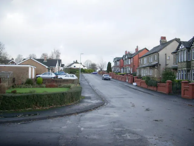
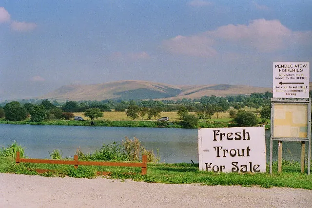
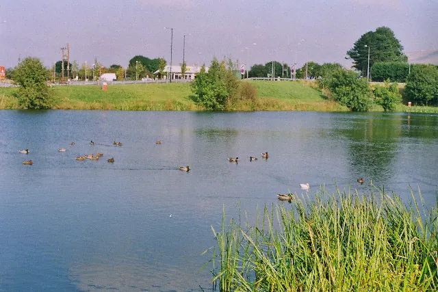
Photographs of churches, listed buildings and monuments in the vicinity, contributed by volunteers to the Geograph project and reused here under a Creative Commons licence.
© Alexander P Kapp · Geograph · CC BY-SA 2.0
© Mike and Kirsty Grundy · Geograph · CC BY-SA 2.0
© Mike and Kirsty Grundy · Geograph · CC BY-SA 2.0
Images © their respective photographers, licensed under CC BY-SA 2.0 and reused here with attribution. Photographs depict listed buildings, churches and monuments near this settlement and may show neighbouring villages.
Data derived from the Open Domesday project (opendomesday.org), based on the Domesday Book dataset compiled by Professor J.J.N. Palmer and team. The Domesday Book (1086) is in the public domain.
Found an inaccuracy? [email protected]