Peckforton in the Domesday Book (1086)
The settlement of Peckforton is recorded in William I’s Domesday survey of 1086, entered under the hundred of Rushton in Cheshire.
Other Settlements in Rushton
- Alpraham
- Alretone
- Ashton
- Beeston
- Bunbury and [Lower] Bunbury
- Burton
- Clotton
- Cocle
- Iddinshall
- Opetone
- Oulton
- Over
- Rushton
- Spurstow
The Meaning of the Name
The name Peckforton is of Anglo-Saxon origin. Its final element derives from the Old English word tūn, a farmstead or village. The first element is most likely a personal name or an early descriptive term, now difficult to recover with certainty. Taken together the name probably meant something close to ‘a farmstead’.
Remarkably, the name has changed little since 1086, when the Domesday scribes wrote it as Peckforton.
Listed Buildings Near Peckforton
Historic England records 19 listed buildings within about a mile of Peckforton. Listing protects structures of special architectural or historic interest, graded I (exceptional), II* (particularly important) and II.
Grade II*
- Black and White Cottage - 0.25 km
- Peckforton Hall - 0.91 km
- Entrance Lodge South East of Peckforton Castle - 1.11 km
Grade II
- Stone Elephant and Castle in Garden of Elephant and Castle Cottage - 0.24 km
- Manor Farm Cottage Yew Tree Cottage - 0.29 km
- Green Cottage Mill Beck Cottage - 0.29 km
- Rock Cottage - 0.31 km
- Smithy Cottage - 0.32 km
- Hill Lane Cottage - 0.32 km
- Manor Farm House - 0.43 km
- Farm Buildings East of Manor Farm House - 0.45 km
- Fountain Cottages - 0.57 km
- Hillside Cottage - 0.66 km
- Farm Building North of Hillside Farmhouse - 0.89 km
- Hillside Farm House - 0.91 km
- Farm Building South East of Peckforton Hall - 0.96 km
- Garden Cottage - 0.99 km
- The Gap - 1.18 km
- The Pheasant Inn - 1.27 km
Scheduled Monuments Near Peckforton
Scheduled monuments are nationally important archaeological sites given legal protection. 1 lies within roughly a mile of Peckforton:
- Promontory fort east of Peckforton Mere - 1.41 km
Peckforton Today
Today Peckforton lies within the administrative area of Cheshire East, and the settlement recorded a population of 141 at the 2021 census. Nine and a half centuries separate that figure from the small rural community the Domesday survey recorded here in 1086.
Read more about modern Peckforton on Wikipedia .
Nearby Domesday Settlements
Other places recorded in the 1086 survey within a few miles:
- Burwardsley and Higher Burwardsley - 1.0 km W
- Spurstow - 2.0 km E
- Beeston - 2.0 km N
- Bunbury and Lower Bunbury - 3.2 km E
- Tiverton - 4.5 km NE
- Tilstone Fearnall - 5.0 km NE
Heritage Around Peckforton
Photographs of churches, listed buildings and monuments in the vicinity, contributed by volunteers to the Geograph project and reused here under a Creative Commons licence.
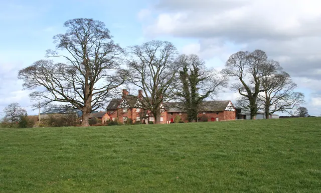
© Espresso Addict · Geograph · CC BY-SA 2.0
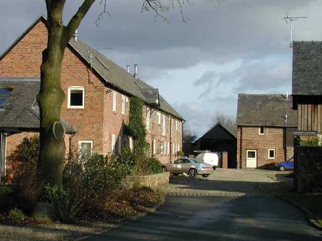
© Stephen Charles · Geograph · CC BY-SA 2.0
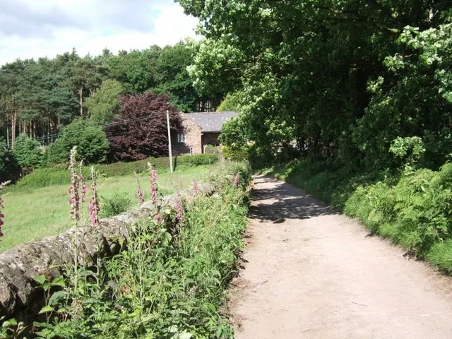
© Bryan Pready · Geograph · CC BY-SA 2.0
Images © their respective photographers, licensed under CC BY-SA 2.0 and reused here with attribution. Photographs depict listed buildings, churches and monuments near this settlement and may show neighbouring villages.
Data derived from the Open Domesday project (opendomesday.org), based on the Domesday Book dataset compiled by Professor J.J.N. Palmer and team. The Domesday Book (1086) is in the public domain.
Found an inaccuracy? [email protected]