Parwich in the Domesday Book (1086)
The 1086 Domesday survey records the settlement of Parwich, entered under the hundred of Hamston in Derbyshire.
Other Settlements in Hamston
- Alsop [-en-le-Dale]
- Ashbourne
- Atlow
- Ballidon
- Bonsall
- Bradbourne
- Brassington
- Broadlowash
- Callow
- Carsington
- Cowley
- Cromford
- Elton
- Hanson [Grange]
The Meaning of the Name
The name Parwich is of Anglo-Saxon origin. Its final element derives from the Old English word wīc, a dwelling or (in Cheshire) a salt-working settlement. The first element is most likely a personal name or an early descriptive term, now difficult to recover with certainty. Taken together the name probably meant something close to ‘a salt town’.
Remarkably, the name has changed little since 1086, when the Domesday scribes wrote it as Parwich.
Listed Buildings Near Parwich
Historic England records 36 listed buildings within about a mile of Parwich. Listing protects structures of special architectural or historic interest, graded I (exceptional), II* (particularly important) and II.
Grade II*
- The Hall - 0.15 km
Grade II
- School, Former Schoolmaster’s House and Retaining Wall - 0.06 km
- Methodist Chapel and Attached Wall and Railings - 0.08 km
- House and Garden Wall to the South West of Fernlea - 0.08 km
- The Old Post Office, garden wall, gate piers and railings - 0.09 km
- Shaw House and Attached Outbuilding - 0.09 km
- Stabling and Attached Cottage Opposite Parwich Hall - 0.09 km
- Fernlea - 0.09 km
- Shaw Lane Cottage - 0.1 km
- K6 Telephone Kiosk - 0.11 km
- Brentwood - 0.11 km
- Outbuilding to the North of the Fold - 0.11 km
- The Fold - 0.12 km
- Barn North of Flat Stiles House - 0.13 km
- Hallgates Cottage Wheatsheaf Cottage - 0.13 km
- Flatts Stile Farmhouse - 0.14 km
- Flaxdale House, Attached Outbuildings, Garden Wall and Gate Piers - 0.15 km
- Jasmine Cottage the Cottage - 0.17 km
- Willow Cottage and garden wall - 0.19 km
- Hallcliff House and Garden Wall - 0.2 km
- Garden Terraces, Walls and Entrance Gates - 0.21 km
- Church Gate House and Church Gate Cottage - 0.21 km
- The Rookery - 0.24 km
- Summerhouse at the Hall - 0.24 km
…and 12 more listed structures in the area.
Parwich Today
Today Parwich lies within the administrative area of Derbyshire Dales, and the settlement recorded a population of 434 at the 2021 census. Nine and a half centuries separate that figure from the small rural community the Domesday survey recorded here in 1086.
Read more about modern Parwich on Wikipedia .
Nearby Domesday Settlements
Other places recorded in the 1086 survey within a few miles:
- Ballidon - 2.0 km E
- Newton Grange - 2.2 km SW
- Alsop -en-le-Dale - 2.2 km NW
- Tissington - 2.2 km SW
- Bradbourne - 2.8 km SE
- Hanson Grange - 4.1 km W
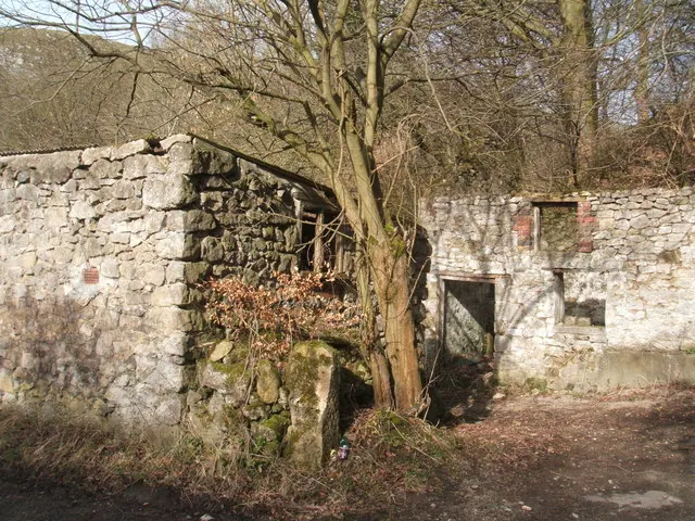
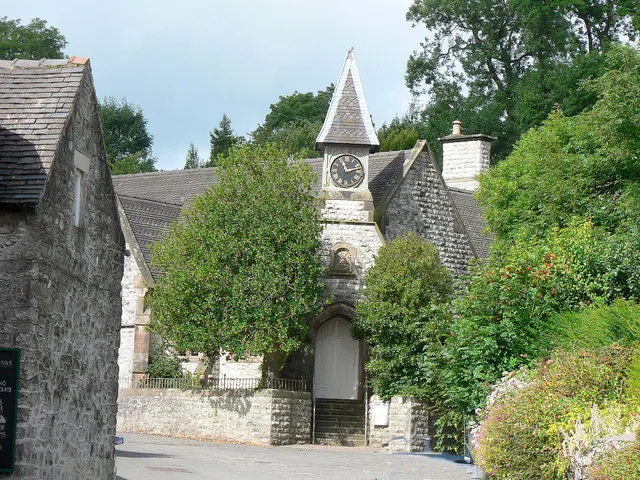
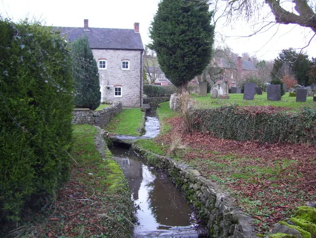
Heritage Around Parwich
Photographs of churches, listed buildings and monuments in the vicinity, contributed by volunteers to the Geograph project and reused here under a Creative Commons licence.
© Peter Barr · Geograph · CC BY-SA 2.0
© Mick Lobb · Geograph · CC BY-SA 2.0
© Paul Bridge · Geograph · CC BY-SA 2.0
Images © their respective photographers, licensed under CC BY-SA 2.0 and reused here with attribution. Photographs depict listed buildings, churches and monuments near this settlement and may show neighbouring villages.
Data derived from the Open Domesday project (opendomesday.org), based on the Domesday Book dataset compiled by Professor J.J.N. Palmer and team. The Domesday Book (1086) is in the public domain.
Found an inaccuracy? [email protected]