Oxcliffe Hall in the Domesday Book (1086)
Oxcliffe Hall is named in the Domesday Book, compiled by Norman commissioners in 1086, entered under the hundred of Amounderness in Yorkshire. The survey assessed Oxcliffe Hall at 3 carucates of taxable land.
At the time of the survey, Oxcliffe Hall supported a recorded population of 20 villagers, 5 smallholders, 8 slaves, working 7 ploughs between them.
The survey puts Oxcliffe Hall’s value at 12 shillings, the same as before the Conquest. Unchanged valuations are relatively rare in the North, where disruption was widespread.
Resources Recorded at Oxcliffe Hall (1086)
- Churches: 1
- Meadow: 6 acres
- Woodland: 50 swine render
Other Settlements in Amounderness
- Aighton
- Aldcliffe
- Aldingham
- Arkholme
- Aschebi
- Ashton [Hall]
- Ashton [on Ribble]
- Austwick
- Barbon
- Bardsea
- Bare
- Barnoldswick
- Barton
- Beetham
The Meaning of the Name
The name Oxcliffe Hall is of Anglo-Saxon origin. Its final element derives from the Old English word clif, a cliff or steep slope. The first element is most likely a personal name or an early descriptive term, now difficult to recover with certainty. Taken together the name probably meant something close to ‘a slope’.
Remarkably, the name has changed little since 1086, when the Domesday scribes wrote it as Oxcliffe Hall.
Listed Buildings Near Oxcliffe Hall
Historic England records 5 listed buildings within about a mile of Oxcliffe Hall. Listing protects structures of special architectural or historic interest, graded I (exceptional), II* (particularly important) and II.
Grade II
- Golden Ball Inn (Snatchems) - 0.7 km
- Oxcliffe Hall Farmhouse - 0.75 km
- Laurel Bank - 1.09 km
- Westbourne House - 1.14 km
- The Knoll - 1.2 km
Nearby Domesday Settlements
Other places recorded in the 1086 survey within a few miles:
- Aldcliffe - 1.4 km SE
- Heaton - 1.4 km SW
- Kirk Lancaster - 2.0 km E
- Newton - 2.0 km E
- Torisholme - 2.0 km N
- Skerton - 2.8 km NE
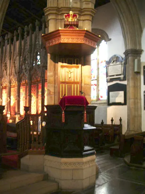
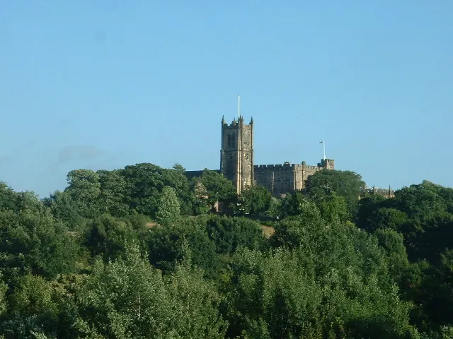
Heritage Around Oxcliffe [Hall]
Photographs of churches, listed buildings and monuments in the vicinity, contributed by volunteers to the Geograph project and reused here under a Creative Commons licence.
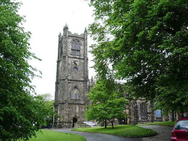
© Alexander P Kapp · Geograph · CC BY-SA 2.0
© Alexander P Kapp · Geograph · CC BY-SA 2.0
© David Medcalf · Geograph · CC BY-SA 2.0
Images © their respective photographers, licensed under CC BY-SA 2.0 and reused here with attribution. Photographs depict listed buildings, churches and monuments near this settlement and may show neighbouring villages.
Data derived from the Open Domesday project (opendomesday.org), based on the Domesday Book dataset compiled by Professor J.J.N. Palmer and team. The Domesday Book (1086) is in the public domain.
Found an inaccuracy? [email protected]