Overleigh in the Domesday Book (1086)
Overleigh appears in the Domesday Book of 1086, entered under the hundred of Chester in Cheshire.
Other Settlements in Chester
The Meaning of the Name
The name Overleigh is of Anglo-Saxon origin. Its final element derives from the Old English word lēah, a woodland clearing or glade, while the first element appears to represent the upper. Taken together the name probably meant something close to ’the upper clearing’.
Remarkably, the name has changed little since 1086, when the Domesday scribes wrote it as Overleigh.
Listed Buildings Near Overleigh
Historic England records 606 listed buildings within about a mile of Overleigh. Listing protects structures of special architectural or historic interest, graded I (exceptional), II* (particularly important) and II.
Grade I
- Roman Shrine to Minerva - 0.17 km
- Part of City Wall From County Hall (Not Included) to Grosvenor Road - 0.25 km
Grade II*
- Church of St Marys - 0.1 km
Grade II
- Rectory, Hall and Buildings of St Marys Church, Handbridge - 0.03 km
- Telephone Kiosk by St Marys Church - 0.09 km
- Wall, Railings and Gates to St Marys Churchyard and Rectory - 0.11 km
- 2, Pyecroft Street - 0.11 km
- 1, Pyecroft Street - 0.12 km
- Sextons Cottage to St Marys Church - 0.14 km
- Boys Club - 0.14 km
- 26, 28 and 30, Overleigh Road - 0.15 km
- Ebury House St Marys Cottage - 0.17 km
- 32-40, Overleigh Road - 0.18 km
- 1A and 3-37, Pyecroft Street - 0.19 km
- 15 and 17, Eaton Road - 0.25 km
- 1-19, HANDBRIDGE (See details for further address information) - 0.25 km
- Artillery Stores Below the Eastern Wall of Inner Bailey - 0.27 km
- Curtain Wall to South of Inner Bailey - 0.27 km
- Curtain Wall to East of Inner Bailey - 0.27 km
- Napier House - 0.28 km
- 19 and 21, Eaton Road - 0.28 km
- Bridge Over Drive, in North Part of Overleigh Cemetery - 0.28 km
- Monument to Samuel Venables in North Part of Overleigh Cemetery - 0.28 km
- 55, Pyecroft Street - 0.28 km
…and 582 more listed structures in the area.
Scheduled Monuments Near Overleigh
Scheduled monuments are nationally important archaeological sites given legal protection. 9 lie within roughly a mile of Overleigh:
- Roman quarry including Edgar’s Cave and the rock-cut figure of Minerva on Edgar’s Field, 150m south west of Dee Bridge - 0.17 km
- Dee Bridge - 0.3 km
- Chester Castle (part) - 0.35 km
- Roman amphitheatre (southern part) - 0.72 km
- St John’s Church (ruined portions) - 0.76 km
- The walls, towers, gates and posterns of the City of Chester - 0.77 km
- St Nicholas’ Chapel - 0.92 km
- The Little Abbey Gateway, Northgate Street - 1.1 km
- Abbey Green Roman site - 1.18 km
Overleigh Today
Today Overleigh lies within the administrative area of Cheshire West and Chester, and the settlement recorded a population of 4,223 at recent figures. Nine and a half centuries separate that figure from the small rural community the Domesday survey recorded here in 1086.
Read more about modern Handbridge on Wikipedia .
Nearby Domesday Settlements
Other places recorded in the 1086 survey within a few miles:
- Netherleigh - 1.0 km E
- Chester - 1.0 km N
- Handbridge - 1.4 km SE
- Redcliff - 1.4 km NE
- Boughton - 2.0 km E
- Claverton - 2.0 km S
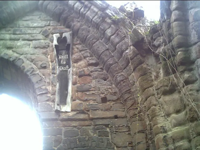
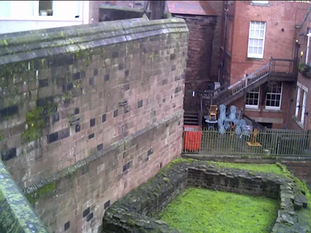
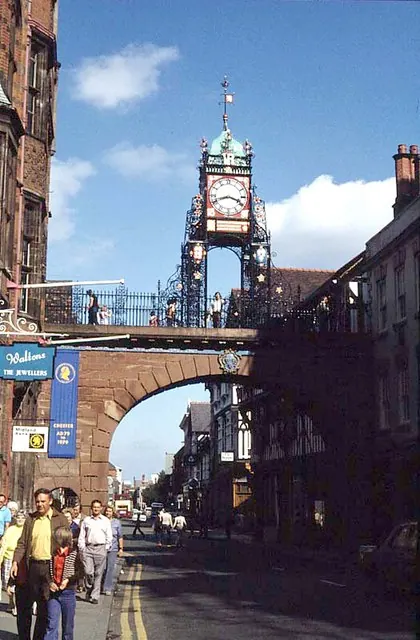
Heritage Around Overleigh
Photographs of churches, listed buildings and monuments in the vicinity, contributed by volunteers to the Geograph project and reused here under a Creative Commons licence.
© chestertouristcom · Geograph · CC BY-SA 2.0
© chestertouristcom · Geograph · CC BY-SA 2.0
© Frank Airey · Geograph · CC BY-SA 2.0
Images © their respective photographers, licensed under CC BY-SA 2.0 and reused here with attribution. Photographs depict listed buildings, churches and monuments near this settlement and may show neighbouring villages.
Data derived from the Open Domesday project (opendomesday.org), based on the Domesday Book dataset compiled by Professor J.J.N. Palmer and team. The Domesday Book (1086) is in the public domain.
Found an inaccuracy? [email protected]