Over Tabley in the Domesday Book (1086)
Over Tabley appears in the Domesday Book of 1086, entered under the hundred of Tunendune in Cheshire.
Other Settlements in Tunendune
- Alretunstall
- Antrobus
- Baguley
- Bowdon
- Chapmonswiche
- Cogshall
- Dutton
- Hale
- Halton
- Knutsford
- Mere
- Middle Aston
- Millington
- Rostherne
The Meaning of the Name
The name Over Tabley is of Anglo-Saxon origin. Its final element derives from the Old English word lēah, a woodland clearing or glade. The first element is most likely a personal name or an early descriptive term, now difficult to recover with certainty. Taken together the name probably meant something close to ‘a clearing’.
Remarkably, the name has changed little since 1086, when the Domesday scribes wrote it as Over Tabley.
Listed Buildings Near Over Tabley
Historic England records 8 listed buildings within about a mile of Over Tabley. Listing protects structures of special architectural or historic interest, graded I (exceptional), II* (particularly important) and II.
Grade II
- Church of St Paul (C of E) and the Langford-brooke Monument - 0.53 km
- Over Tabley Hall - 0.84 km
- Farm Building Approximately 200 Yards West of Over Tabley Hall - 0.91 km
- Kitchen Garden Walls With Attached Sheds at Mere Hall - 1.05 km
- Mere Old Hall - 1.15 km
- Entrance Arch and Gates to Mere Country Club and Golf Course Mere New Hall - 1.21 km
- Hollybush Farm - 1.28 km
- Aa Box 372 at Mere Corner - 1.29 km
Over Tabley Today
Today Over Tabley lies within the administrative area of Cheshire East, and the settlement recorded a population of 368 at the 2021 census. Nine and a half centuries separate that figure from the small rural community the Domesday survey recorded here in 1086.
Read more about modern Tabley Superior on Wikipedia .
Nearby Domesday Settlements
Other places recorded in the 1086 survey within a few miles:
- Mere - 1.0 km N
- Nether Tabley - 2.0 km S
- Tatton - 2.2 km NE
- Knutsford - 3.6 km SE
- Rostherne - 3.6 km NE
- Millington - 4.0 km N
Heritage Around [Over] Tabley
Photographs of churches, listed buildings and monuments in the vicinity, contributed by volunteers to the Geograph project and reused here under a Creative Commons licence.
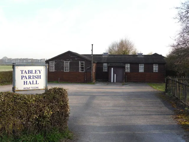
© Iain Lees · Geograph · CC BY-SA 2.0
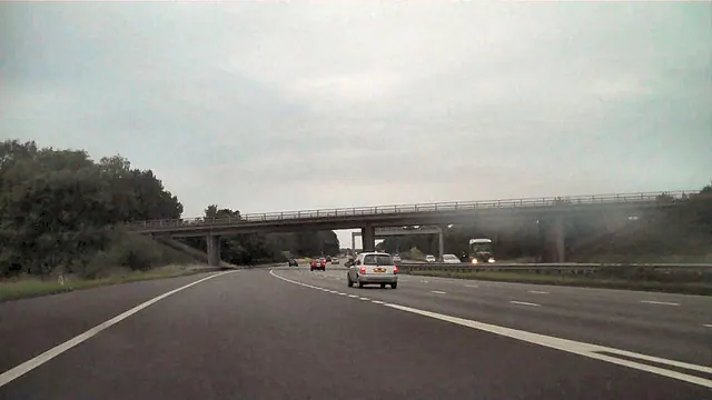
© David Dixon · Geograph · CC BY-SA 2.0
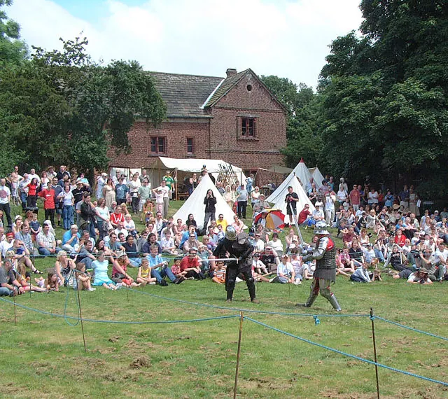
© Gary Rogers · Geograph · CC BY-SA 2.0
Images © their respective photographers, licensed under CC BY-SA 2.0 and reused here with attribution. Photographs depict listed buildings, churches and monuments near this settlement and may show neighbouring villages.
Data derived from the Open Domesday project (opendomesday.org), based on the Domesday Book dataset compiled by Professor J.J.N. Palmer and team. The Domesday Book (1086) is in the public domain.
Found an inaccuracy? [email protected]