Over Alderley in the Domesday Book (1086)
The 1086 Domesday survey records the settlement of Over Alderley, entered under the hundred of Hamestan in Cheshire.
Other Settlements in Hamestan
- Adlington
- Bosley
- Bramhall
- Bredbury
- Butley
- Capesthorne
- Cheadle
- Chelford
- Cranage
- Gawsworth
- Henbury
- Hollingworth
- Hungrewenitune
- Kermincham
The Meaning of the Name
The name Over Alderley is of Anglo-Saxon origin. Its final element derives from the Old English word lēah, a woodland clearing or glade, while the first element appears to represent the old. Taken together the name probably meant something close to ’the old clearing’.
Remarkably, the name has changed little since 1086, when the Domesday scribes wrote it as Over Alderley.
Listed Buildings Near Over Alderley
Historic England records 13 listed buildings within about a mile of Over Alderley. Listing protects structures of special architectural or historic interest, graded I (exceptional), II* (particularly important) and II.
Grade II*
- Hayman’s House - 1.14 km
Grade II
- Adshead Cottage - 0.37 km
- Finlow Hill Cottage - 0.56 km
- Alderley Lodge - 0.57 km
- Butler’s Cottage - 0.67 km
- The Old House at Birtles Farm - 0.86 km
- Hare Hill - 0.87 km
- Bradford Lodge Bradford Lodge Nursery - 0.95 km
- Vardentown - 1.01 km
- Barn 22 Metres to Rear of Higher House Farmhouse - 1.11 km
- Higher Yewtree Farmhouse - 1.12 km
- Higher House Farmhouse - 1.13 km
- Shippon and Hayloft 30 Metres to West of Higher House Farmhouse - 1.14 km
Scheduled Monuments Near Over Alderley
Scheduled monuments are nationally important archaeological sites given legal protection. 4 lie within roughly a mile of Over Alderley:
- The Great Merestone medieval boundary marker on Finlow Hill, 245m east of Mottram House - 0.55 km
- Engine Vein opencast copper mine, 150m north of Warden’s Cottage - 1.16 km
- The Golden Stone boundary marker, 250m north west of Edge House Farm - 1.21 km
- The Armada Beacon, Alderley Edge - 1.47 km
Over Alderley Today
Today Over Alderley lies within the administrative area of Cheshire East, and the settlement recorded a population of 380 at the 2021 census. Nine and a half centuries separate that figure from the small rural community the Domesday survey recorded here in 1086.
Read more about modern Over Alderley on Wikipedia .
Nearby Domesday Settlements
Other places recorded in the 1086 survey within a few miles:
- Nether Alderley - 2.0 km W
- Henbury - 3.6 km SE
- Mottram St Andrew - 3.6 km NE
- Hungrewenitune - 4.1 km E
- Capesthorne - 4.5 km SW
- Butley - 5.1 km E
Heritage Around [Over] Alderley
Photographs of churches, listed buildings and monuments in the vicinity, contributed by volunteers to the Geograph project and reused here under a Creative Commons licence.
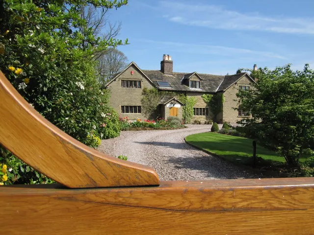
© Peter Turner · Geograph · CC BY-SA 2.0
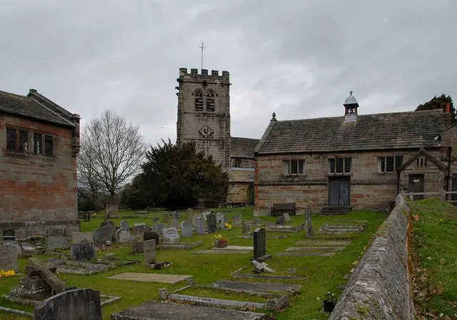
© Galatas · Geograph · CC BY-SA 2.0
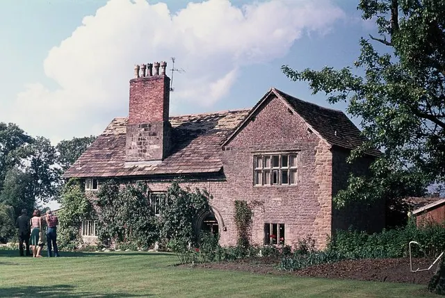
© John H Darch · Geograph · CC BY-SA 2.0
Images © their respective photographers, licensed under CC BY-SA 2.0 and reused here with attribution. Photographs depict listed buildings, churches and monuments near this settlement and may show neighbouring villages.
Data derived from the Open Domesday project (opendomesday.org), based on the Domesday Book dataset compiled by Professor J.J.N. Palmer and team. The Domesday Book (1086) is in the public domain.
Found an inaccuracy? [email protected]