Out Newton in the Domesday Book (1086)
The 1086 Domesday survey records the settlement of Out Newton, entered under the hundred of Holderness [South Hundred] in Yorkshire. The survey assessed Out Newton at 6 carucates of taxable land.
At the time of the survey, Out Newton supported a recorded population of 15 villagers, 20 smallholders, 7 slaves, working 8 ploughs between them.
By 1086 Out Newton was worth 12.35 shillings, up from 10 shillings before the Conquest – which sets it apart from the many nearby villages left waste or devalued.
Resources Recorded at Out Newton (1086)
- Mills: 1 mill (valued at 6d)
- Churches: 1
- Meadow: 10 acres
- Woodland: 20 swine render
Other Settlements in Holderness [South Hundred]
- Andrebi
- Burstwick
- Camerton [Hall]
- Dimlington
- Easington
- Grimston
- Halsham
- Hilston
- Hollym
- Holmpton
- Keyingham
- Kilnsea
- Monkwith
- Newton [Garth]
The Meaning of the Name
The name Out Newton is of Anglo-Saxon origin. Its final element derives from the Old English word tūn, a farmstead or village, while the first element appears to represent the new. Taken together the name probably meant something close to ’the new farmstead’.
Remarkably, the name has changed little since 1086, when the Domesday scribes wrote it as Out Newton.
Out Newton Today
Today Out Newton lies within the administrative area of Easington.
Read more about modern Out Newton on Wikipedia .
Nearby Domesday Settlements
Other places recorded in the 1086 survey within a few miles:
- Dimlington - 1.4 km SE
- Rysome Garth - 2.2 km NW
- Easington - 2.2 km SE
- Holmpton - 2.8 km NW
- Weeton - 3.2 km W
- Welwick - 4.0 km W
Heritage Around [Out] Newton
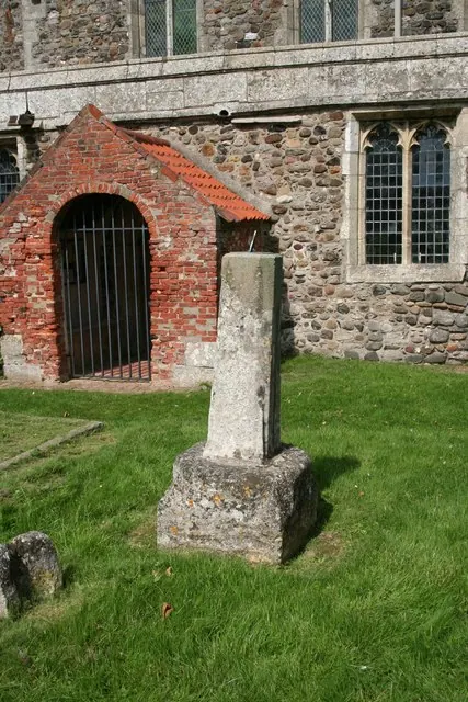
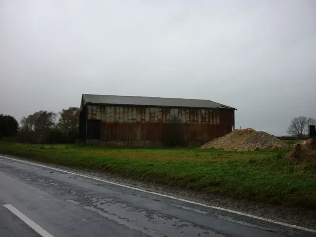
Photographs of churches, listed buildings and monuments in the vicinity, contributed by volunteers to the Geograph project and reused here under a Creative Commons licence.

© Richard Croft · Geograph · CC BY-SA 2.0
© Richard Croft · Geograph · CC BY-SA 2.0
© Ian S · Geograph · CC BY-SA 2.0
Images © their respective photographers, licensed under CC BY-SA 2.0 and reused here with attribution. Photographs depict listed buildings, churches and monuments near this settlement and may show neighbouring villages.
Location
53.6713°N, 0.0968°E · Holderness [South Hundred] hundred, Yorkshire
View larger map on OpenStreetMap →Data derived from the Open Domesday project (opendomesday.org), based on the Domesday Book dataset compiled by Professor J.J.N. Palmer and team. The Domesday Book (1086) is in the public domain.
Found an inaccuracy? [email protected]