Otterburn in the Domesday Book (1086)
Otterburn appears in the Domesday Book of 1086, entered under the hundred of Craven in Yorkshire. The survey assessed Otterburn at 10 carucates of taxable land.
At the time of the survey, Otterburn supported a recorded population of 23 villagers, 10 smallholders, 9 slaves, working 13 ploughs between them.
By 1086 Otterburn was worth 12 shillings, up from 10 shillings before the Conquest – one of the few settlements in the area to hold its value through the upheaval.
Resources Recorded at Otterburn (1086)
- Mills: 5 mills (valued at 3 shillings)
- Meadow: 3 * 3 furlongs
Other Settlements in Craven
- Addingham
- Airton
- Anley
- Appletreewick
- Arncliffe
- Arnford
- Barnoldswick
- Bashall [Eaves]
- Battersby [Barn]
- Beamsley
- Birkby [Hall]
- Bogeuurde
- Bolton [Abbey]
- Bolton [by Bowland]
The Meaning of the Name
The origin of the name Otterburn is not securely established from its modern form alone; like many settlement names in the North it likely combines an Old English or Old Norse personal name with a landscape term.
Remarkably, the name has changed little since 1086, when the Domesday scribes wrote it as Otterburn.
Listed Buildings Near Otterburn
Historic England records 4 listed buildings within about a mile of Otterburn. Listing protects structures of special architectural or historic interest, graded I (exceptional), II* (particularly important) and II.
Grade II
- Otterburn Hall - 0.19 km
- Otterburn Lodge - 0.36 km
- Otterburn Bridge - 0.41 km
- Grove Farmhouse - 0.5 km
Scheduled Monuments Near Otterburn
Scheduled monuments are nationally important archaeological sites given legal protection. 4 lie within roughly a mile of Otterburn:
- Crane Field round barrow - 0.55 km
- Round barrow north of Moor Syke, Crane Field - 0.76 km
- Round barrow 550m south west of Park Hill - 0.85 km
- Round barrow 400m south west of Crane Field Laithe - 1.0 km
Otterburn Today
Today Otterburn lies within the administrative area of Craven, and the settlement recorded a population of 45 at the 2021 census. Nine and a half centuries separate that figure from the small rural community the Domesday survey recorded here in 1086.
Read more about modern Otterburn on Wikipedia .
Nearby Domesday Settlements
Other places recorded in the 1086 survey within a few miles:
- Coniston Cold - 2.8 km SE
- Airton - 2.8 km NE
- Calton - 2.8 km NE
- Scosthrop - 2.8 km NE
- Little Newton - 3.0 km W
- Hellifield - 3.2 km W
Heritage Around Otterburn
Photographs of churches, listed buildings and monuments in the vicinity, contributed by volunteers to the Geograph project and reused here under a Creative Commons licence.
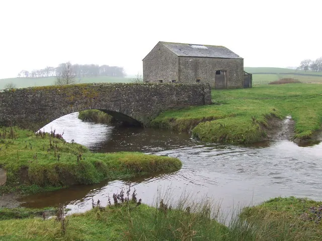
© Roger Nunn · Geograph · CC BY-SA 2.0
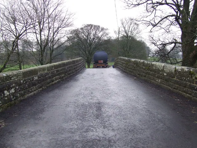
© Roger Nunn · Geograph · CC BY-SA 2.0
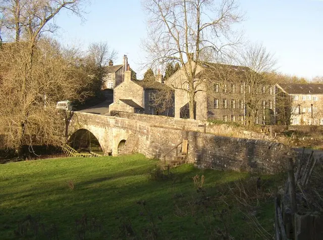
© Humphrey Bolton · Geograph · CC BY-SA 2.0
Images © their respective photographers, licensed under CC BY-SA 2.0 and reused here with attribution. Photographs depict listed buildings, churches and monuments near this settlement and may show neighbouring villages.
Data derived from the Open Domesday project (opendomesday.org), based on the Domesday Book dataset compiled by Professor J.J.N. Palmer and team. The Domesday Book (1086) is in the public domain.
Found an inaccuracy? [email protected]