Otley in the Domesday Book (1086)
The 1086 Domesday survey records the settlement of Otley, entered under the hundred of Skyrack in Yorkshire.
Other Settlements in Skyrack
- Adel
- Allerton [Bywater]
- Alwoodley
- Arthington
- Austhorpe
- Baildon
- Bardsey
- Barwick [in Elmet]
- Bichertun
- Bicherun
- Bingley
- Birkby [Hill]
- Bramhope
- Burden [Head]
The Meaning of the Name
The name Otley is of Anglo-Saxon origin. Its final element derives from the Old English word lēah, a woodland clearing or glade. The first element is most likely a personal name or an early descriptive term, now difficult to recover with certainty. Taken together the name probably meant something close to ‘a clearing’.
Remarkably, the name has changed little since 1086, when the Domesday scribes wrote it as Otley.
Listed Buildings Near Otley
Historic England records 146 listed buildings within about a mile of Otley. Listing protects structures of special architectural or historic interest, graded I (exceptional), II* (particularly important) and II.
Grade II
- 29, Cross Green - 0.1 km
- 25, Cross Green - 0.1 km
- Cross Green Youth Centre - 0.1 km
- No 11 and Caley House - 0.12 km
- No 7 Manor House Public House and no 9 - 0.12 km
- 36, Cross Green - 0.14 km
- 1-5, Cross Green - 0.15 km
- 63-69, Cross Green - 0.15 km
- The Mechanics Institute - 0.16 km
- Otley Methodist Church - 0.17 km
- Boat Buildings - 0.18 km
- White Swan Public House - 0.19 km
- 64 Boroughgate - 0.2 km
- 66, Boroughgate - 0.2 km
- 19, Crow Lane - 0.2 km
- 21, Crow Lane - 0.2 km
- 103 and 105, Cross Green - 0.21 km
- 101, Cross Green - 0.21 km
- 58 and 60, Boroughgate - 0.21 km
- 56, Boroughgate - 0.22 km
- 8-14, Charles Street - 0.22 km
- Old Post Office - 0.22 km
- 14 Gay Lane - 0.23 km
- The Junction Public House - 0.23 km
…and 122 more listed structures in the area.
Scheduled Monuments Near Otley
Scheduled monuments are nationally important archaeological sites given legal protection. 5 lie within roughly a mile of Otley:
- Otley Bridge - 0.61 km
- Cup and ring marked rock in Wharfemeadows Park, 280m west of Newall Hall - 0.73 km
- Carved rock on Pelstone Crag 530m west of Danefield House - 1.1 km
- Cup and ring marked rock known as the Knotties Stone on Otley Chevin, 270m north east of The Royalty public house - 1.3 km
- Roman period native settlement in Danefield Wood, 490m south west of Stubbings Farm - 1.55 km
Otley Today
Today Otley lies within the administrative area of Leeds, and the settlement recorded a population of 14,357 at the 2021 census. Nine and a half centuries separate that figure from the small rural community the Domesday survey recorded here in 1086.
Read more about modern Otley on Wikipedia .
Nearby Domesday Settlements
Other places recorded in the 1086 survey within a few miles:
Heritage Around Otley
Photographs of churches, listed buildings and monuments in the vicinity, contributed by volunteers to the Geograph project and reused here under a Creative Commons licence.
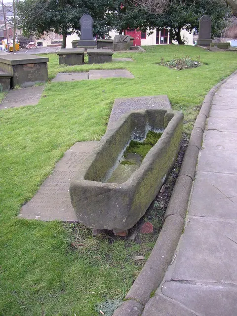
© Humphrey Bolton · Geograph · CC BY-SA 2.0
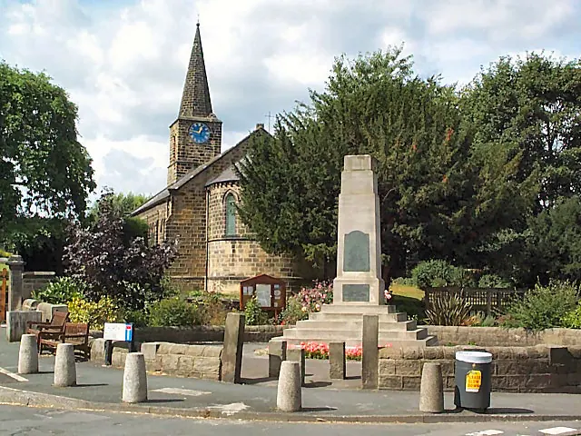
© David Spencer · Geograph · CC BY-SA 2.0
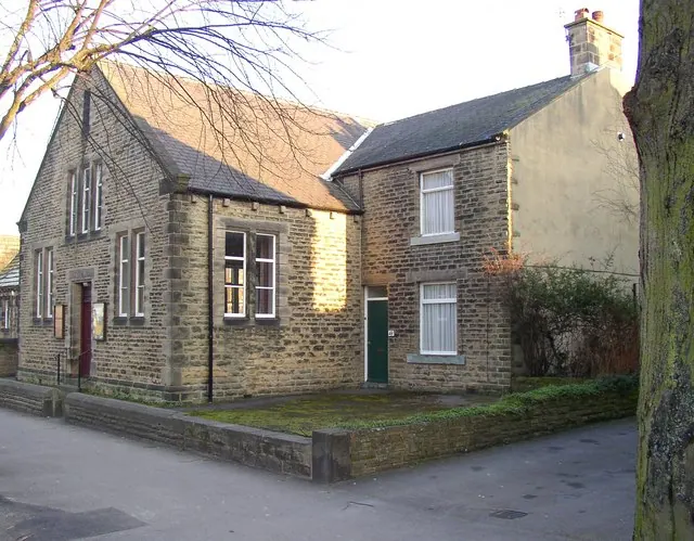
© Humphrey Bolton · Geograph · CC BY-SA 2.0
Images © their respective photographers, licensed under CC BY-SA 2.0 and reused here with attribution. Photographs depict listed buildings, churches and monuments near this settlement and may show neighbouring villages.
Data derived from the Open Domesday project (opendomesday.org), based on the Domesday Book dataset compiled by Professor J.J.N. Palmer and team. The Domesday Book (1086) is in the public domain.
Found an inaccuracy? [email protected]