Ossett in the Domesday Book (1086)
The 1086 Domesday survey records the settlement of Ossett, entered under the hundred of Agbrigg in Yorkshire.
Other Settlements in Agbrigg
- Ackton
- Almondbury
- Austonley
- Bradley
- Cartworth
- Crigglestone
- Crofton
- Dalton
- Emley
- Farnley [Tyas]
- Flockton
- Fulstone
- Golcar
- Hepworth
The Meaning of the Name
The origin of the name Ossett is not securely established from its modern form alone; like many settlement names in the North it likely combines an Old English or Old Norse personal name with a landscape term.
Remarkably, the name has changed little since 1086, when the Domesday scribes wrote it as Ossett.
Listed Buildings Near Ossett
Historic England records 9 listed buildings within about a mile of Ossett. Listing protects structures of special architectural or historic interest, graded I (exceptional), II* (particularly important) and II.
Grade II*
- Church of the Holy Trinity - 0.68 km
Grade II
- 22 and 24 Wesley Street - 0.08 km
- K6 Telephone Kiosk 25 Metres west of Town Hall - 0.24 km
- Ossett War Memorial - 0.26 km
- Town Hall - 0.29 km
- Former Primitive Methodist Chapel - 0.41 km
- Springstone House - 0.78 km
- Ossett Grammar School Formerly Known As Park House - 1.23 km
- Christ Church - 1.29 km
Ossett Today
Today Ossett lies within the administrative area of Wakefield, and the settlement recorded a population of 21,861 at recent figures. Nine and a half centuries separate that figure from the small rural community the Domesday survey recorded here in 1086.
Read more about modern Ossett on Wikipedia .
Nearby Domesday Settlements
Other places recorded in the 1086 survey within a few miles:
- Earlsheaton - 2.2 km NW
- Horbury - 2.8 km SE
- Dewsbury - 3.2 km W
- Shitlington - 3.2 km S
- Thornhill - 3.6 km SW
- Hanging Heaton - 3.6 km NW
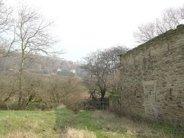
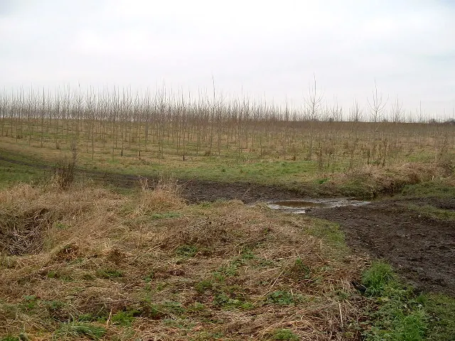
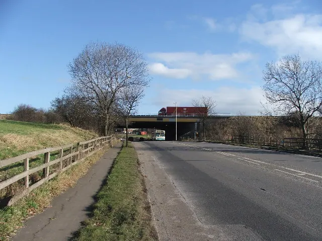
Heritage Around Ossett
Photographs of churches, listed buildings and monuments in the vicinity, contributed by volunteers to the Geograph project and reused here under a Creative Commons licence.
© Donald Wilkinson · Geograph · CC BY-SA 2.0
© Nigel Homer · Geograph · CC BY-SA 2.0
© Steve Partridge · Geograph · CC BY-SA 2.0
Images © their respective photographers, licensed under CC BY-SA 2.0 and reused here with attribution. Photographs depict listed buildings, churches and monuments near this settlement and may show neighbouring villages.
Data derived from the Open Domesday project (opendomesday.org), based on the Domesday Book dataset compiled by Professor J.J.N. Palmer and team. The Domesday Book (1086) is in the public domain.
Found an inaccuracy? [email protected]