Osmotherley in the Domesday Book (1086)
The settlement of Osmotherley is recorded in William I’s Domesday survey of 1086, entered under the hundred of Allerton in Yorkshire. The survey assessed Osmotherley at 5.5 carucates of taxable land.
At the time of the survey, Osmotherley supported a recorded population of 12 villagers, 11 smallholders, 5 slaves, working 5 ploughs between them.
By 1086 Osmotherley was worth 8.1 shillings, up from 7.1 shillings before the Conquest – a sign this community came through the Conquest without being ruined.
The survey lists 2 manors at Osmotherley under different lords. Splitting a single settlement between multiple tenants was common across the North – Saxon estates broken up and handed to William’s followers after 1066.
Resources Recorded at Osmotherley (1086)
- Mills: 1 mill (valued at 1 shilling)
- Meadow: 3 ploughs
- Woodland: 100 pigs
Other Settlements in Allerton
- Ainderby [Steeple]
- Appleton [Wiske]
- Arncliffe [Hall]
- Birkby
- Borrowby
- Brompton
- Cowesby
- Crosby [Grange]
- Dale [Town]
- Deighton
- Ellerbeck
- Foxton
- Girsby
- Hawnby
The Meaning of the Name
The name Osmotherley is of Anglo-Saxon origin. Its final element derives from the Old English word lēah, a woodland clearing or glade. The first element is most likely a personal name or an early descriptive term, now difficult to recover with certainty. Taken together the name probably meant something close to ‘a clearing’.
Remarkably, the name has changed little since 1086, when the Domesday scribes wrote it as Osmotherley.
Listed Buildings Near Osmotherley
Historic England records 60 listed buildings within about a mile of Osmotherley. Listing protects structures of special architectural or historic interest, graded I (exceptional), II* (particularly important) and II.
Grade II
- 43, North End - 0.05 km
- No 66 and Attached Garden Walls and Railings - 0.07 km
- 68-78, North End - 0.07 km
- 64, North End - 0.08 km
- 58, North End - 0.1 km
- Pound - 0.1 km
- 50-56, North End - 0.11 km
- 48, North End - 0.12 km
- 44 and 46, North End - 0.13 km
- 17 North End - 0.16 km
- 19, North End - 0.16 km
- The Vicarage - 0.17 km
- 26, NORTH END (See details for further address information) - 0.18 km
- 11 and 11A, North End - 0.19 km
- 5 and 7, North End - 0.2 km
- 18 North End - 0.21 km
- Osmotherley Quaker Meeting House - 0.22 km
- 16, North End - 0.22 km
- 3, North End - 0.22 km
- 1, North End - 0.22 km
- The Post Office - 0.23 km
- 12, North End - 0.23 km
- 8, West End - 0.24 km
- K6 Telephone Kiosk 3 Metres South of Post Office - 0.24 km
…and 36 more listed structures in the area.
Scheduled Monuments Near Osmotherley
Scheduled monuments are nationally important archaeological sites given legal protection. 2 lie within roughly a mile of Osmotherley:
- Lady’s Chapel - 0.72 km
- Mount Grace Priory Carthusian monastery: monastic precinct, fishponds, moat, mill and well-houses - 1.26 km
Osmotherley Today
Today Osmotherley lies within the administrative area of Hambleton, and the settlement recorded a population of 594 at the 2021 census. Nine and a half centuries separate that figure from the small rural community the Domesday survey recorded here in 1086.
Read more about modern Osmotherley on Wikipedia .
Nearby Domesday Settlements
Other places recorded in the 1086 survey within a few miles:
- Mount Grace - 1.4 km NW
- Ellerbeck - 2.2 km SW
- Thimbleby - 2.2 km SW
- Arncliffe Hall - 3.0 km N
- Foxton - 3.2 km W
- Ingleby Arncliffe - 3.2 km N
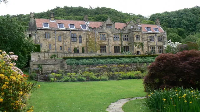
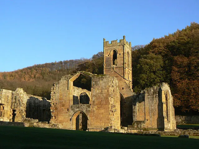
Heritage Around Osmotherley
Photographs of churches, listed buildings and monuments in the vicinity, contributed by volunteers to the Geograph project and reused here under a Creative Commons licence.
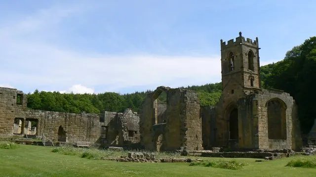
© Paul Howarth · Geograph · CC BY-SA 2.0
© Paul Howarth · Geograph · CC BY-SA 2.0
© Alan Murray-Rust · Geograph · CC BY-SA 2.0
Images © their respective photographers, licensed under CC BY-SA 2.0 and reused here with attribution. Photographs depict listed buildings, churches and monuments near this settlement and may show neighbouring villages.
Data derived from the Open Domesday project (opendomesday.org), based on the Domesday Book dataset compiled by Professor J.J.N. Palmer and team. The Domesday Book (1086) is in the public domain.
Found an inaccuracy? [email protected]