Osgoodby Hall in the Domesday Book (1086)
Osgoodby Hall appears in the Domesday Book of 1086, entered under the hundred of Yarlestre in Yorkshire.
Other Settlements in Yarlestre
- Arden [Hall]
- Asenby
- Bagby
- Baxby
- Bergebi
- Berghebi
- Bernebi
- Boltby
- Breckenbrough
- Carlton [Husthwaite]
- Carlton [Miniott]
- Catton
- Coxwold
- Crakehill
The Meaning of the Name
The name Osgoodby Hall is of Scandinavian origin. Its final element derives from the Old Norse word bý, a farmstead or village. The first element is most likely a personal name or an early descriptive term, now difficult to recover with certainty. Taken together the name probably meant something close to ‘a farmstead’.
Names of this type are a fingerprint of Scandinavian settlement: they cluster across the old Danelaw, where Norse-speaking settlers renamed or founded villages from the late 9th century onward.
Remarkably, the name has changed little since 1086, when the Domesday scribes wrote it as Osgoodby Hall.
Listed Buildings Near Osgoodby Hall
Historic England records 8 listed buildings within about a mile of Osgoodby Hall. Listing protects structures of special architectural or historic interest, graded I (exceptional), II* (particularly important) and II.
Grade II*
- Osgoodby Hall - 0.56 km
- Front Garden Wall With Gate Piers at Osgoodby Hall - 0.59 km
Grade II
- High Osgodby Grange - 0.3 km
- Front Garden Wall to High Osgodby Grange - 0.31 km
- Bell Cottage - 0.55 km
- The Granary Annexe at Hood House - 0.57 km
- Outbuilding Approximately 10 Metres to East of Low Osgodby Grange - 1.06 km
- Low Osgodby Grange - 1.08 km
Scheduled Monuments Near Osgoodby Hall
Scheduled monuments are nationally important archaeological sites given legal protection. 1 lies within roughly a mile of Osgoodby Hall:
- Hood Hill motte and bailey - 1.22 km
Nearby Domesday Settlements
Other places recorded in the 1086 survey within a few miles:
- Kilburn - 2.2 km SE
- Sutton under Whitestone Cliffe - 2.2 km NW
- Thirkleby - 2.8 km SW
- Wildon Grange - 2.8 km SE
- Bagby - 3.0 km W
- Carlton Husthwaite - 4.0 km S
Heritage Around Osgoodby [Hall]
Photographs of churches, listed buildings and monuments in the vicinity, contributed by volunteers to the Geograph project and reused here under a Creative Commons licence.
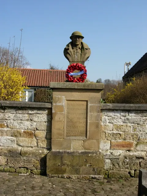
© Phil Catterall · Geograph · CC BY-SA 2.0
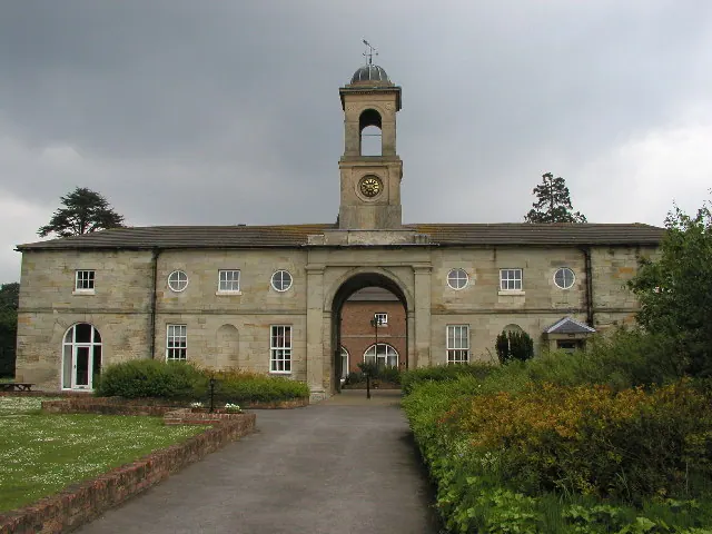
© Andy Beecroft · Geograph · CC BY-SA 2.0
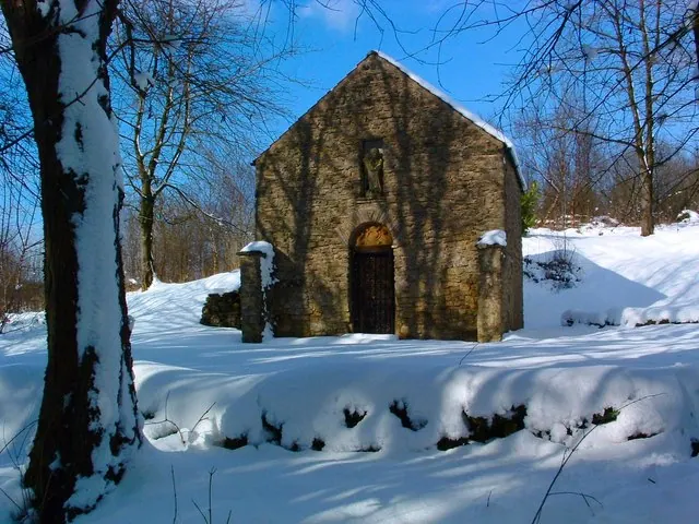
© Rob Shillito · Geograph · CC BY-SA 2.0
Images © their respective photographers, licensed under CC BY-SA 2.0 and reused here with attribution. Photographs depict listed buildings, churches and monuments near this settlement and may show neighbouring villages.
Data derived from the Open Domesday project (opendomesday.org), based on the Domesday Book dataset compiled by Professor J.J.N. Palmer and team. The Domesday Book (1086) is in the public domain.
Found an inaccuracy? [email protected]