Orgrave in the Domesday Book (1086)
The 1086 Domesday survey records the settlement of Orgrave, entered under the hundred of Amounderness in Yorkshire. The survey assessed Orgrave at 4.4 carucates of taxable land.
At the time of the survey, Orgrave supported a recorded population of 19 freemanmen, working 6 ploughs between them.
The survey lists 3 manors at Orgrave under different lords. Splitting a single settlement between multiple tenants was common across the North – Saxon estates broken up and handed to William’s followers after 1066.
Resources Recorded at Orgrave (1086)
- Meadow: 16 acres
- Woodland: 24 acres
Other Settlements in Amounderness
- Aighton
- Aldcliffe
- Aldingham
- Arkholme
- Aschebi
- Ashton [Hall]
- Ashton [on Ribble]
- Austwick
- Barbon
- Bardsea
- Bare
- Barnoldswick
- Barton
- Beetham
The Meaning of the Name
The origin of the name Orgrave is not securely established from its modern form alone; like many settlement names in the North it likely combines an Old English or Old Norse personal name with a landscape term.
Remarkably, the name has changed little since 1086, when the Domesday scribes wrote it as Orgrave.
Listed Buildings Near Orgrave
Historic England records 9 listed buildings within about a mile of Orgrave. Listing protects structures of special architectural or historic interest, graded I (exceptional), II* (particularly important) and II.
Grade II*
- Tytup Hall - 0.5 km
Grade II
- Gate Piers and Attached Wing Walls at South Entrance to Gardens of Tytup Hall - 0.43 km
- The Peathouse at Tytup Hall - 0.48 km
- Retaining Wall to Front Gardens of Tytup Hall - 0.51 km
- Gate Piers at North Entrance to Gardens of Tytup Hall - 0.56 km
- Lime Kiln at Ngr 2321 7468 - 0.88 km
- High Haume Farmhouse and Attached Barn - 1.06 km
- Elliscale Farmhouse - 1.28 km
- Barns and Cow House to South of Farmyard at Elliscale Farm - 1.29 km
Nearby Domesday Settlements
Other places recorded in the 1086 survey within a few miles:
- Dalton in Furness - 1.0 km S
- Wart - 1.0 km S
- Killerwick - 1.4 km SW
- Martin - 2.2 km NE
- Stainton - 3.2 km S
- Pennington - 3.6 km NE
Heritage Around Orgrave
Photographs of churches, listed buildings and monuments in the vicinity, contributed by volunteers to the Geograph project and reused here under a Creative Commons licence.
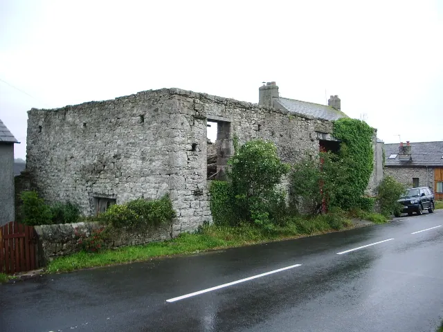
© Alexander P Kapp · Geograph · CC BY-SA 2.0
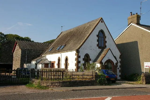
© Alexander P Kapp · Geograph · CC BY-SA 2.0
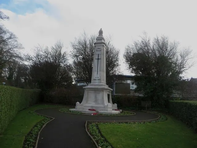
© Graham Robson · Geograph · CC BY-SA 2.0
Images © their respective photographers, licensed under CC BY-SA 2.0 and reused here with attribution. Photographs depict listed buildings, churches and monuments near this settlement and may show neighbouring villages.
Data derived from the Open Domesday project (opendomesday.org), based on the Domesday Book dataset compiled by Professor J.J.N. Palmer and team. The Domesday Book (1086) is in the public domain.
Found an inaccuracy? [email protected]