Onesacre in the Domesday Book (1086)
Onesacre appears in the Domesday Book of 1086, entered under the hundred of Strafforth in Yorkshire.
Other Settlements in Strafforth
- Adwick [le Street]
- Adwick [upon Dearne]
- Armthorpe
- Aston
- Attercliffe
- Auckley
- Aughton [Hall]
- Austerfield
- Balby
- Barnbrough
- Barnby [Dun]
- Bentley
- Bilham [House]
- Billingley
The Meaning of the Name
The origin of the name Onesacre is not securely established from its modern form alone; like many settlement names in the North it likely combines an Old English or Old Norse personal name with a landscape term.
Remarkably, the name has changed little since 1086, when the Domesday scribes wrote it as Onesacre.
Listed Buildings Near Onesacre
Historic England records 10 listed buildings within about a mile of Onesacre. Listing protects structures of special architectural or historic interest, graded I (exceptional), II* (particularly important) and II.
Grade II*
- Onesacre Hall - 0.13 km
Grade II
- Barn Approximately 35 Metres to South West of Onesacre Hall - 0.11 km
- Low Fold Farmhouse and Barn Attached - 0.2 km
- Rural Cottage - 0.22 km
- Guide Pillar at Junction With Long Lane, on South East Side of Junction - 0.77 km
- Milepost at conjunction with Langsett Road North - 0.83 km
- Birtin House - 0.83 km
- Glen Howe Packhorse Bridge, Approximately 100 Metres Upstream of Cottage - 0.94 km
- Swinnock Hall and Attached Cowhouse and Barn - 1.26 km
- Oughtibridge Forge - 1.26 km
Onesacre Today
Today Onesacre lies within the administrative area of Bradfield.
Nearby Domesday Settlements
Other places recorded in the 1086 survey within a few miles:
- Worrall - 1.4 km SE
- Holdworth - 2.2 km SW
- Waldershelf - 4.2 km NW
- Wadsley - 4.2 km SE
- Ughill - 5.0 km SW
- Ecclesfield - 6.1 km E
Heritage Around Onesacre
Photographs of churches, listed buildings and monuments in the vicinity, contributed by volunteers to the Geograph project and reused here under a Creative Commons licence.
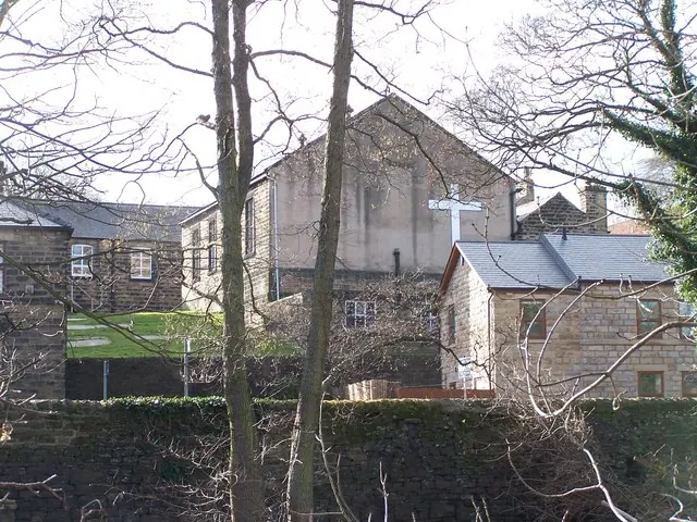
© Terry Robinson · Geograph · CC BY-SA 2.0
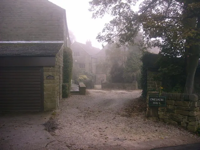
© Brian Ward · Geograph · CC BY-SA 2.0
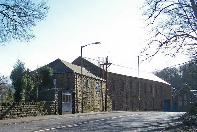
© Terry Robinson · Geograph · CC BY-SA 2.0
Images © their respective photographers, licensed under CC BY-SA 2.0 and reused here with attribution. Photographs depict listed buildings, churches and monuments near this settlement and may show neighbouring villages.
Data derived from the Open Domesday project (opendomesday.org), based on the Domesday Book dataset compiled by Professor J.J.N. Palmer and team. The Domesday Book (1086) is in the public domain.
Found an inaccuracy? [email protected]