Old Whittington in the Domesday Book (1086)
Old Whittington is named in the Domesday Book, compiled by Norman commissioners in 1086, entered under the hundred of Scarsdale in Derbyshire.
Other Settlements in Scarsdale
- Alfreton
- Ashover
- Barlborough
- Barlow
- Beighton
- Blingsby
- Bolsover
- Boythorpe
- Bramley [Vale]
- Brimington
- Calow
- Chesterfield
- Clowne
- Dore
The Meaning of the Name
The name Old Whittington is of Anglo-Saxon origin. Its final element derives from the Old English word tūn, a farmstead or village. The first element is most likely a personal name or an early descriptive term, now difficult to recover with certainty. Taken together the name probably meant something close to ‘a farmstead’.
Remarkably, the name has changed little since 1086, when the Domesday scribes wrote it as Old Whittington.
Listed Buildings Near Old Whittington
Historic England records 18 listed buildings within about a mile of Old Whittington. Listing protects structures of special architectural or historic interest, graded I (exceptional), II* (particularly important) and II.
Grade II*
- Revolution House - 0.54 km
Grade II
- Manor House - 0.33 km
- War Memorial - 0.53 km
- 87, High Street - 0.54 km
- Long Cottage - 0.55 km
- The Old Mansion House - 0.57 km
- 8-14, Church Street North - 0.61 km
- 16 and 18, Church Street North - 0.64 km
- Boundary wall extending along eastern boundary of footpath between Number 65 and the churchyard of St Bartholomew’s Church - 0.69 km
- The Close - 0.73 km
- 48 and 50, Church Street North - 0.78 km
- 54 and 56, Church Street North - 0.8 km
- Parish Church of St Bartholomew - 0.81 km
- Raised Pavement to South of Numbers 82 and 84 - 0.82 km
- The Entrance Lodge to Whittington Grange - 0.86 km
- Holly House - 0.9 km
- Elmwood - 0.9 km
- Lodge at Whittington Hall Hospital - 1.17 km
Old Whittington Today
Today Old Whittington lies within the administrative area of Chesterfield, and the settlement recorded a population of 4,181 at recent figures. Nine and a half centuries separate that figure from the small rural community the Domesday survey recorded here in 1086.
Read more about modern Old Whittington on Wikipedia .
Nearby Domesday Settlements
Other places recorded in the 1086 survey within a few miles:
- Brimington - 2.2 km SE
- Tapton - 2.2 km SE
- Chesterfield - 3.0 km S
- Newbold and Upper Newbold - 3.2 km W
- Middle, Nether and West Handley - 3.2 km N
- Unstone - 3.2 km N
Heritage Around [Old] Whittington
Photographs of churches, listed buildings and monuments in the vicinity, contributed by volunteers to the Geograph project and reused here under a Creative Commons licence.
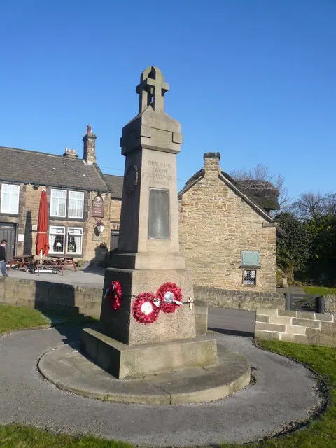
© Alan Heardman · Geograph · CC BY-SA 2.0
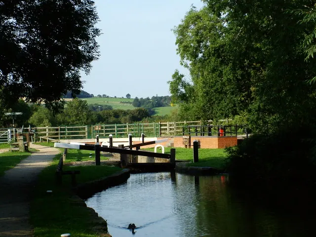
© Richard Newall · Geograph · CC BY-SA 2.0
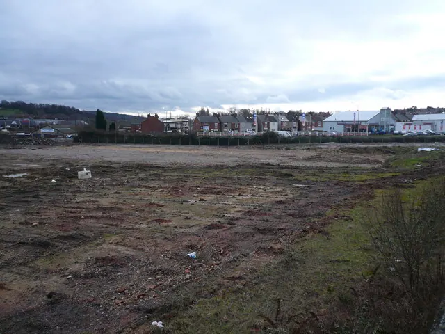
© Alan Heardman · Geograph · CC BY-SA 2.0
Images © their respective photographers, licensed under CC BY-SA 2.0 and reused here with attribution. Photographs depict listed buildings, churches and monuments near this settlement and may show neighbouring villages.
Data derived from the Open Domesday project (opendomesday.org), based on the Domesday Book dataset compiled by Professor J.J.N. Palmer and team. The Domesday Book (1086) is in the public domain.
Found an inaccuracy? [email protected]