Old Lindley in the Domesday Book (1086)
The settlement of Old Lindley is recorded in William I’s Domesday survey of 1086, entered under the hundred of Morley in Yorkshire.
Other Settlements in Morley
- Allerton
- Armley
- Batley
- Beeston
- Bolton
- Bowling
- Bradford
- Bramley
- Calverley
- Carlton
- Chellow [Grange]
- Clayton
- Clifton
- Cruttonstall
The Meaning of the Name
The name Old Lindley is of Anglo-Saxon origin. Its final element derives from the Old English word lēah, a woodland clearing or glade. The first element is most likely a personal name or an early descriptive term, now difficult to recover with certainty. Taken together the name probably meant something close to ‘a clearing’.
Remarkably, the name has changed little since 1086, when the Domesday scribes wrote it as Old Lindley.
Listed Buildings Near Old Lindley
Historic England records 40 listed buildings within about a mile of Old Lindley. Listing protects structures of special architectural or historic interest, graded I (exceptional), II* (particularly important) and II.
Grade II
- Barn at right angles to rear of Inglenook - 0.39 km
- 1, 2, 3 and 4, Jagger Green Hall - 0.39 km
- Inglenook - 0.41 km
- Broad Carr Cottages - 0.41 km
- Carr Farmhouse - 0.42 km
- Moorview Sandymoor - 0.45 km
- Beech Grove and Southray - 0.49 km
- K6 Telephone Kiosk - 0.54 km
- Holly Tree Farmhouse and attached barn - 0.55 km
- Old Lindley Old Lindley Farm Cottage Old Lindley Farmhouse - 0.57 km
- Lower Haigh House Wapping Nick Farmhouse - 0.69 km
- The Holywell - 0.69 km
- Blackley Chapel House - 0.69 km
- Blackley Baptist Church - 0.71 km
- Prospect View - 0.71 km
- Aviary in Shaw Park - 0.73 km
- Holywell House - 0.74 km
- 3 Towers and Linking Wall in Shaw Park - 0.8 km
- Gatehouse to Shaw Park - 0.82 km
- United Reformed Sunday School - 0.87 km
- Number 2 Northgate - 0.88 km
- Holywell Green Farm House and Barn - 0.89 km
- Number 3 Northgate - 0.89 km
- Middle Haigh House Farmhouse - 0.93 km
…and 16 more listed structures in the area.
Old Lindley Today
Today Old Lindley lies within the administrative area of Stainland and District.
Read more about modern Old Lindley on Wikipedia .
Nearby Domesday Settlements
Other places recorded in the 1086 survey within a few miles:
Heritage Around [Old] Lindley
Photographs of churches, listed buildings and monuments in the vicinity, contributed by volunteers to the Geograph project and reused here under a Creative Commons licence.
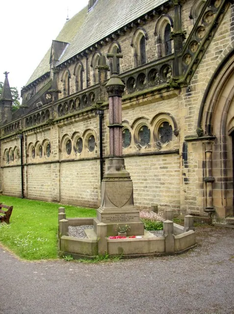
© Humphrey Bolton · Geograph · CC BY-SA 2.0
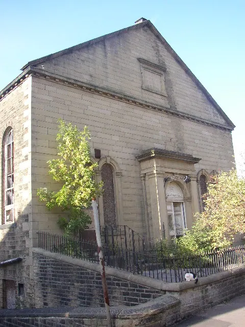
© Humphrey Bolton · Geograph · CC BY-SA 2.0
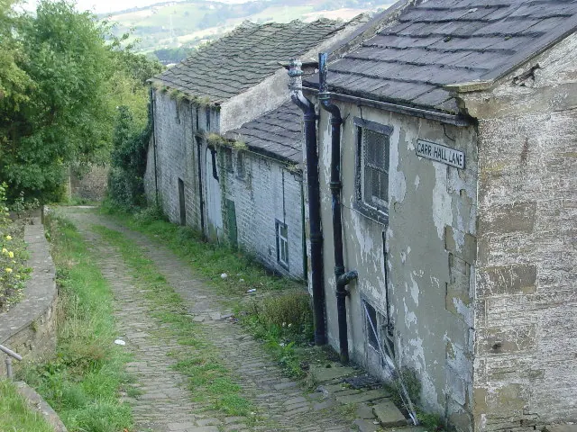
© Malcolm Street · Geograph · CC BY-SA 2.0
Images © their respective photographers, licensed under CC BY-SA 2.0 and reused here with attribution. Photographs depict listed buildings, churches and monuments near this settlement and may show neighbouring villages.
Data derived from the Open Domesday project (opendomesday.org), based on the Domesday Book dataset compiled by Professor J.J.N. Palmer and team. The Domesday Book (1086) is in the public domain.
Found an inaccuracy? [email protected]