Old Glossop in the Domesday Book (1086)
The 1086 Domesday survey records the settlement of Old Glossop, entered under the hundred of Blackwell in Derbyshire.
Other Settlements in Blackwell
- Abney
- Ashford [-in-the-Water]
- Aston
- Bakewell
- Bamford
- Baslow
- Beeley
- Birchills
- Birchover
- Blackwell
- Bradwell
- Bubnell
- Burley
- Burton
The Meaning of the Name
The origin of the name Old Glossop is not securely established from its modern form alone; like many settlement names in the North it likely combines an Old English or Old Norse personal name with a landscape term.
Remarkably, the name has changed little since 1086, when the Domesday scribes wrote it as Old Glossop.
Listed Buildings Near Old Glossop
Historic England records 44 listed buildings within about a mile of Old Glossop. Listing protects structures of special architectural or historic interest, graded I (exceptional), II* (particularly important) and II.
Grade II
- Pyegrove and Pyegrove House - 0.25 km
- Former Stables and Living Accommodation at Ngr Sk 0424 9467 - 0.41 km
- Ryecroft - 0.41 km
- Northern Glass Works With Attached Gates and Railings - 0.44 km
- Premises Occupied by Helme Footwear - 0.45 km
- 14, Church Street South - 0.5 km
- 16 and 18, Church Street South - 0.51 km
- The Market Cross - 0.52 km
- 22 and 22A, Church Street South - 0.53 km
- 28, 28A and 30, Church Street South - 0.54 km
- Gatepiers and Gates to Church of All Saints - 0.54 km
- 32, Church Street South - 0.55 km
- 34, Church Street South - 0.56 km
- 36, Church Street South - 0.57 km
- Church of All Saints - 0.57 km
- 12 and 14, Wellgate - 0.6 km
- Bulls Head Public House - 0.62 km
- Duke of Norfolks Primary School and Schoolhouse - 0.62 km
- 56, Church Street - 0.67 km
- Gates and Walls to Roman Catholic Church of All Saints - 0.82 km
- Roman Catholic Church of All Saints - 0.84 km
- Gates and Boundary Wall to Royle House - 0.84 km
- Royle House - 0.86 km
- Howard Town House - 1.05 km
…and 20 more listed structures in the area.
Old Glossop Today
Today Old Glossop lies within the administrative area of High Peak.
Read more about modern Old Glossop on Wikipedia .
Nearby Domesday Settlements
Other places recorded in the 1086 survey within a few miles:
- Whitfield - 1.4 km SW
- Higher and Lower Dinting - 2.0 km W
- Padfield and Little Padfield - 2.2 km NW
- Hadfield - 2.8 km NW
- Longdendale - 3.2 km N
- Chunal - 3.2 km S
Heritage Around Old Glossop
Photographs of churches, listed buildings and monuments in the vicinity, contributed by volunteers to the Geograph project and reused here under a Creative Commons licence.
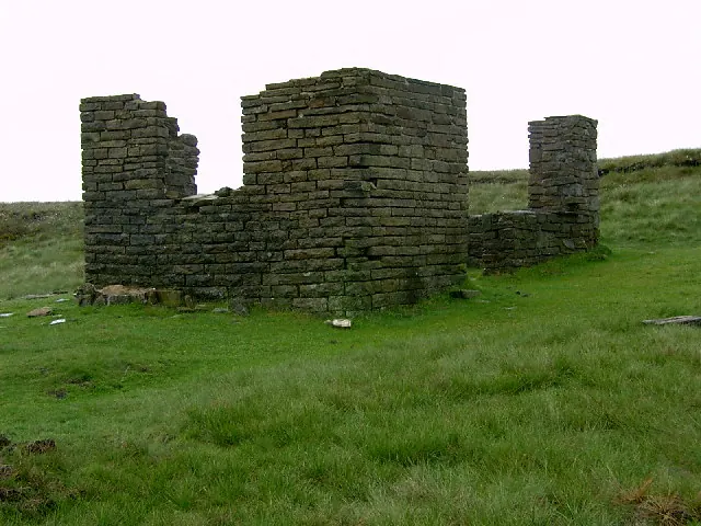
© Stephen Burton · Geograph · CC BY-SA 2.0
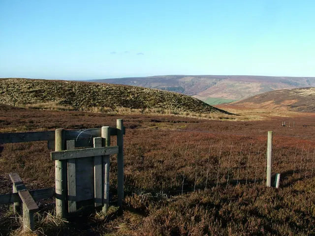
© Stephen Burton · Geograph · CC BY-SA 2.0
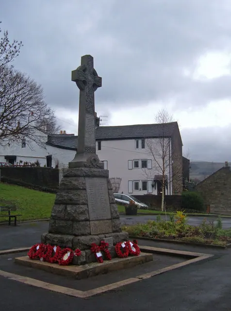
© michael ely · Geograph · CC BY-SA 2.0
Images © their respective photographers, licensed under CC BY-SA 2.0 and reused here with attribution. Photographs depict listed buildings, churches and monuments near this settlement and may show neighbouring villages.
Data derived from the Open Domesday project (opendomesday.org), based on the Domesday Book dataset compiled by Professor J.J.N. Palmer and team. The Domesday Book (1086) is in the public domain.
Found an inaccuracy? [email protected]