Old Edlington in the Domesday Book (1086)
Old Edlington is named in the Domesday Book, compiled by Norman commissioners in 1086, entered under the hundred of Strafforth in Yorkshire.
Other Settlements in Strafforth
- Adwick [le Street]
- Adwick [upon Dearne]
- Armthorpe
- Aston
- Attercliffe
- Auckley
- Aughton [Hall]
- Austerfield
- Balby
- Barnbrough
- Barnby [Dun]
- Bentley
- Bilham [House]
- Billingley
The Meaning of the Name
The name Old Edlington is of Anglo-Saxon origin. Its final element derives from the Old English word tūn, a farmstead or village. The first element is most likely a personal name or an early descriptive term, now difficult to recover with certainty. Taken together the name probably meant something close to ‘a farmstead’.
Remarkably, the name has changed little since 1086, when the Domesday scribes wrote it as Old Edlington.
Listed Buildings Near Old Edlington
Historic England records 3 listed buildings within about a mile of Old Edlington. Listing protects structures of special architectural or historic interest, graded I (exceptional), II* (particularly important) and II.
Grade I
- Church of St Peter - 0.41 km
Grade II
- Dovecote in Garden of Limestones - 0.37 km
- Manor Farm House - 0.37 km
Scheduled Monuments Near Old Edlington
Scheduled monuments are nationally important archaeological sites given legal protection. 1 lies within roughly a mile of Old Edlington:
- Double Dyke - 1.33 km
Old Edlington Today
Today Old Edlington lies within the administrative area of Doncaster, and the settlement recorded a population of 8,357 at the 2021 census. Nine and a half centuries separate that figure from the small rural community the Domesday survey recorded here in 1086.
Read more about modern Edlington on Wikipedia .
Nearby Domesday Settlements
Other places recorded in the 1086 survey within a few miles:
- Clifton - 2.2 km SW
- Conisbrough - 2.2 km NW
- Warmsworth - 3.2 km N
- Braithwell - 3.2 km S
- Wilsic Hall - 3.6 km SE
- Cadeby - 3.6 km NW
Heritage Around [Old] Edlington
Photographs of churches, listed buildings and monuments in the vicinity, contributed by volunteers to the Geograph project and reused here under a Creative Commons licence.
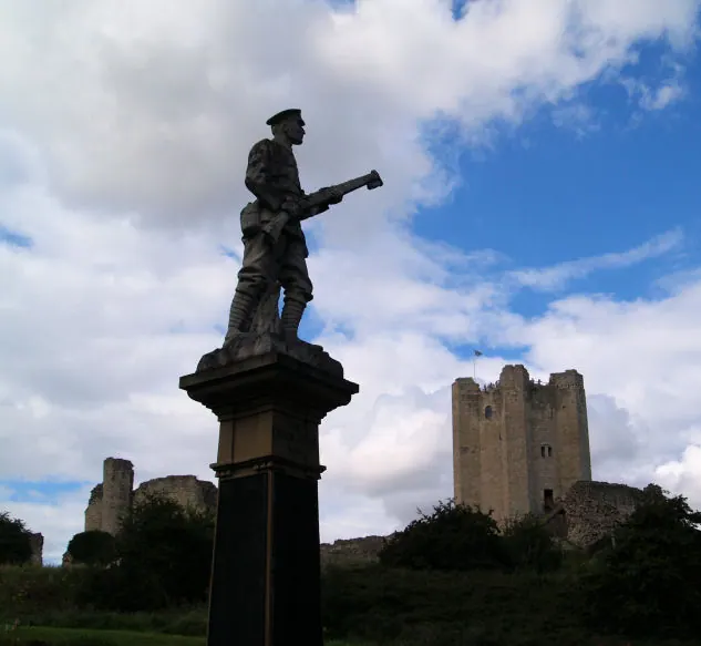
© Steve Fareham · Geograph · CC BY-SA 2.0
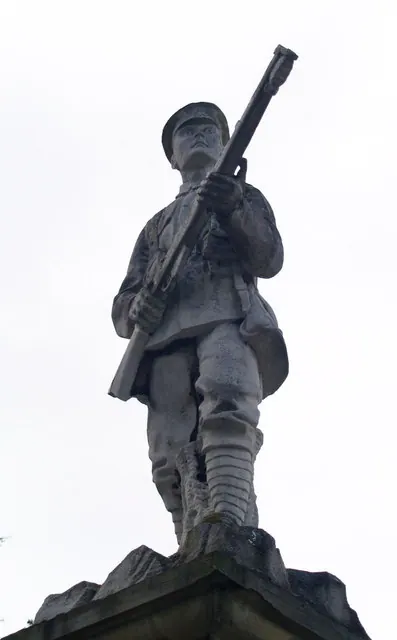
© Steve Fareham · Geograph · CC BY-SA 2.0
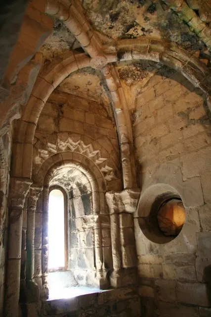
© Richard Croft · Geograph · CC BY-SA 2.0
Images © their respective photographers, licensed under CC BY-SA 2.0 and reused here with attribution. Photographs depict listed buildings, churches and monuments near this settlement and may show neighbouring villages.
Data derived from the Open Domesday project (opendomesday.org), based on the Domesday Book dataset compiled by Professor J.J.N. Palmer and team. The Domesday Book (1086) is in the public domain.
Found an inaccuracy? [email protected]