Old Byland in the Domesday Book (1086)
Old Byland appears in the Domesday Book of 1086, entered under the hundred of Yarlestre in Yorkshire. The survey assessed Old Byland at 2 carucates of taxable land.
At the time of the survey, Old Byland supported a recorded population of 23 villagers, 4 smallholders, working 9 ploughs between them.
By 1086 Old Byland was worth 4 shillings, up from 3 shillings before the Conquest – one of the few settlements in the area to hold its value through the upheaval.
Resources Recorded at Old Byland (1086)
- Mills: 1 mill (valued at 5d)
- Meadow: 100 acres
Other Settlements in Yarlestre
- Arden [Hall]
- Asenby
- Bagby
- Baxby
- Bergebi
- Berghebi
- Bernebi
- Boltby
- Breckenbrough
- Carlton [Husthwaite]
- Carlton [Miniott]
- Catton
- Coxwold
- Crakehill
The Meaning of the Name
The origin of the name Old Byland is not securely established from its modern form alone; like many settlement names in the North it likely combines an Old English or Old Norse personal name with a landscape term.
Remarkably, the name has changed little since 1086, when the Domesday scribes wrote it as Old Byland.
Listed Buildings Near Old Byland
Historic England records 5 listed buildings within about a mile of Old Byland. Listing protects structures of special architectural or historic interest, graded I (exceptional), II* (particularly important) and II.
Grade I
- Church of All Saints - 0.71 km
Grade II
- Old Byland Hall - 0.64 km
- House Immediately to South of West View - 0.66 km
- West View Cottages - 0.67 km
- Limekilns Approximately 250 Metres West of Grange Farm - 1.09 km
Scheduled Monuments Near Old Byland
Scheduled monuments are nationally important archaeological sites given legal protection. 2 lie within roughly a mile of Old Byland:
- Old Byland monastic grange immediately to the west and north-west of Valley View Farm - 0.96 km
- Round barrow 600m west of Grange Farm - 1.52 km
Old Byland Today
Today Old Byland lies within the administrative area of Old Byland and Scawton.
Nearby Domesday Settlements
Other places recorded in the 1086 survey within a few miles:
- Cold Kirby - 2.2 km SW
- Scawton - 2.2 km SW
- Griff Farm - 3.6 km SE
- Dale Town - 3.6 km NW
- Murton - 3.6 km NW
- Stiltons Farm - 4.1 km E
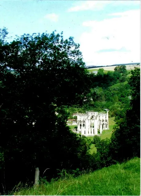
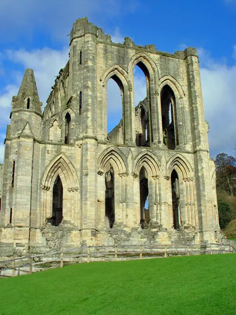
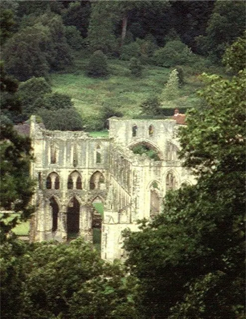
Heritage Around [Old] Byland
Photographs of churches, listed buildings and monuments in the vicinity, contributed by volunteers to the Geograph project and reused here under a Creative Commons licence.
© Hugh Chappell · Geograph · CC BY-SA 2.0
© Peter Church · Geograph · CC BY-SA 2.0
© Stanley Howe · Geograph · CC BY-SA 2.0
Images © their respective photographers, licensed under CC BY-SA 2.0 and reused here with attribution. Photographs depict listed buildings, churches and monuments near this settlement and may show neighbouring villages.
Data derived from the Open Domesday project (opendomesday.org), based on the Domesday Book dataset compiled by Professor J.J.N. Palmer and team. The Domesday Book (1086) is in the public domain.
Found an inaccuracy? [email protected]