Old Brampton in the Domesday Book (1086)
The 1086 Domesday survey records the settlement of Old Brampton, entered under the hundred of Scarsdale in Derbyshire.
Other Settlements in Scarsdale
- Alfreton
- Ashover
- Barlborough
- Barlow
- Beighton
- Blingsby
- Bolsover
- Boythorpe
- Bramley [Vale]
- Brimington
- Calow
- Chesterfield
- Clowne
- Dore
The Meaning of the Name
The name Old Brampton is of Anglo-Saxon origin. Its final element derives from the Old English word tūn, a farmstead or village. The first element is most likely a personal name or an early descriptive term, now difficult to recover with certainty. Taken together the name probably meant something close to ‘a farmstead’.
Remarkably, the name has changed little since 1086, when the Domesday scribes wrote it as Old Brampton.
Listed Buildings Near Old Brampton
Historic England records 12 listed buildings within about a mile of Old Brampton. Listing protects structures of special architectural or historic interest, graded I (exceptional), II* (particularly important) and II.
Grade I
- Parish Church of St Peter and St Paul - 0.46 km
Grade II*
- Barn at Frith Hall Farm - 0.69 km
Grade II
- Brampton Manor, attached boundary walls, gatepiers and railings - 0.39 km
- Outbuilding to the West of Broomhall Farmhouse - 0.55 km
- Broomhall Farmhouse - 0.58 km
- Cart Shed to the North East of Broomhall Farmhouse - 0.61 km
- Frith Hall Farmhouse - 0.66 km
- Outbuilding Immediately West of Rear Wing of Frith Hall Farmhouse - 0.67 km
- The Birches - 0.86 km
- Range of Outbuildings to the North of the Birches - 0.86 km
- Milepost to West of Junction With Chandler Hill Lane - 1.01 km
- Ashgate House - 1.21 km
Scheduled Monuments Near Old Brampton
Scheduled monuments are nationally important archaeological sites given legal protection. 1 lies within roughly a mile of Old Brampton:
Old Brampton Today
Today Old Brampton lies within the administrative area of Brampton, and the settlement recorded a population of 3,676 at recent figures. Nine and a half centuries separate that figure from the small rural community the Domesday survey recorded here in 1086.
Read more about modern Old Brampton on Wikipedia .
Nearby Domesday Settlements
Other places recorded in the 1086 survey within a few miles:
- Holme - 1.4 km NE
- Wadshelf - 2.2 km SW
- Newbold and Upper Newbold - 2.8 km NE
- Walton - 2.8 km SE
- Great Barlow - 3.2 km N
- Boythorpe - 4.5 km SE
Heritage Around [Old] Brampton
Photographs of churches, listed buildings and monuments in the vicinity, contributed by volunteers to the Geograph project and reused here under a Creative Commons licence.
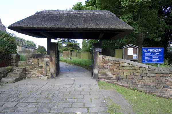
© Andrew Whale · Geograph · CC BY-SA 2.0
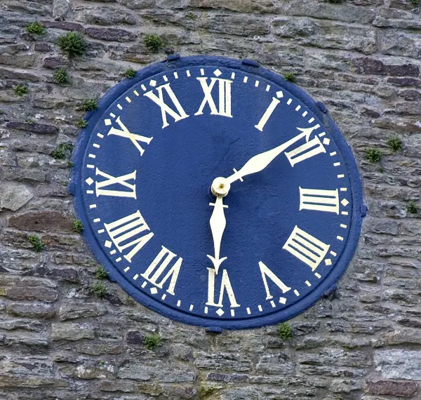
© Andrew Whale · Geograph · CC BY-SA 2.0
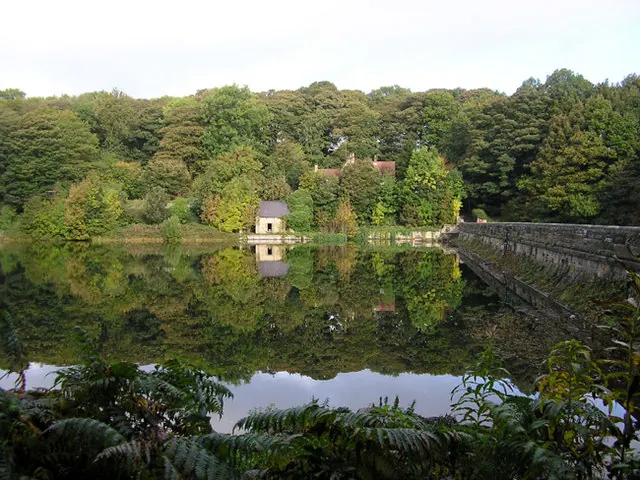
© david mills · Geograph · CC BY-SA 2.0
Images © their respective photographers, licensed under CC BY-SA 2.0 and reused here with attribution. Photographs depict listed buildings, churches and monuments near this settlement and may show neighbouring villages.
Data derived from the Open Domesday project (opendomesday.org), based on the Domesday Book dataset compiled by Professor J.J.N. Palmer and team. The Domesday Book (1086) is in the public domain.
Found an inaccuracy? [email protected]