Old Boulby in the Domesday Book (1086)
Old Boulby is named in the Domesday Book, compiled by Norman commissioners in 1086, entered under the hundred of Langbaurgh in Yorkshire. The survey assessed Old Boulby at 3.8 carucates of taxable land.
At the time of the survey, Old Boulby supported a recorded population of 40 smallholders, 1 slave, 35 freemanmen, working 5 ploughs between them.
The survey records Old Boulby’s value at 3.6 shillings in 1086. No pre-Conquest figure survives – not unusual in the North, where records were disrupted by the Harrying and by the patchy coverage of the survey.
The survey lists 3 manors at Old Boulby under different lords. Splitting a single settlement between multiple tenants was common across the North – Saxon estates broken up and handed to William’s followers after 1066.
Resources Recorded at Old Boulby (1086)
- Mills: 1 mill
- Churches: 1
- Fisheries: 0
- Salthouses: 1
- Meadow: 3 acres
Other Settlements in Langbaurgh
- Acklam
- Airy [Holme]
- Aislaby
- Arnodestorp
- Baldebi
- Barnaby
- Barwick
- Battersby
- Bergolbi
- Berguluesbi
- Blaten [Carr]
- Borrowby
- Breck
- Brotton
The Meaning of the Name
The name Old Boulby is of Scandinavian origin. Its final element derives from the Old Norse word bý, a farmstead or village. The first element is most likely a personal name or an early descriptive term, now difficult to recover with certainty. Taken together the name probably meant something close to ‘a farmstead’.
Names of this type are a fingerprint of Scandinavian settlement: they cluster across the old Danelaw, where Norse-speaking settlers renamed or founded villages from the late 9th century onward.
Remarkably, the name has changed little since 1086, when the Domesday scribes wrote it as Old Boulby.
Listed Buildings Near Old Boulby
Historic England records 8 listed buildings within about a mile of Old Boulby. Listing protects structures of special architectural or historic interest, graded I (exceptional), II* (particularly important) and II.
Grade II
- Red House Farmhouse - 0.23 km
- Boulby Grange Boulby Grange Farmhouse - 0.65 km
- Stable Block, 28 Metres North West of Boulby Grange Farmhouse. - 0.68 km
- Barn and Pigsty/henhouse, 50 Metres North-west of Boulby Grange Farmhouse - 0.7 km
- Three Crosses Well, Circa 240 Metres East of Ings Farmhouse - 0.98 km
- Dalehouse Bridge. - 1.15 km
- The Fox and Hounds Public House - 1.2 km
- The Old Mill - 1.21 km
Scheduled Monuments Near Old Boulby
Scheduled monuments are nationally important archaeological sites given legal protection. 2 lie within roughly a mile of Old Boulby:
- World War I early warning acoustic mirror 60m east of Boulby Barns Farm - 1.39 km
- Boulby Alum Quarries and works - 1.59 km
Old Boulby Today
Today Old Boulby lies within the administrative area of Loftus.
Read more about modern Boulby on Wikipedia .
Nearby Domesday Settlements
Other places recorded in the 1086 survey within a few miles:
- Easington - 2.0 km W
- Roxby - 2.0 km S
- Seaton Hall - 2.2 km SE
- Arnodestorp - 3.2 km E
- Hinderwell - 3.2 km E
- Borrowby - 3.2 km S
Heritage Around [Old] Boulby
Photographs of churches, listed buildings and monuments in the vicinity, contributed by volunteers to the Geograph project and reused here under a Creative Commons licence.
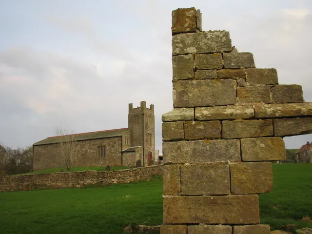
© Chris Twigg · Geograph · CC BY-SA 2.0
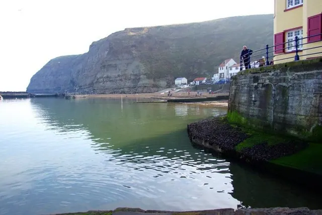
© Donnylad · Geograph · CC BY-SA 2.0
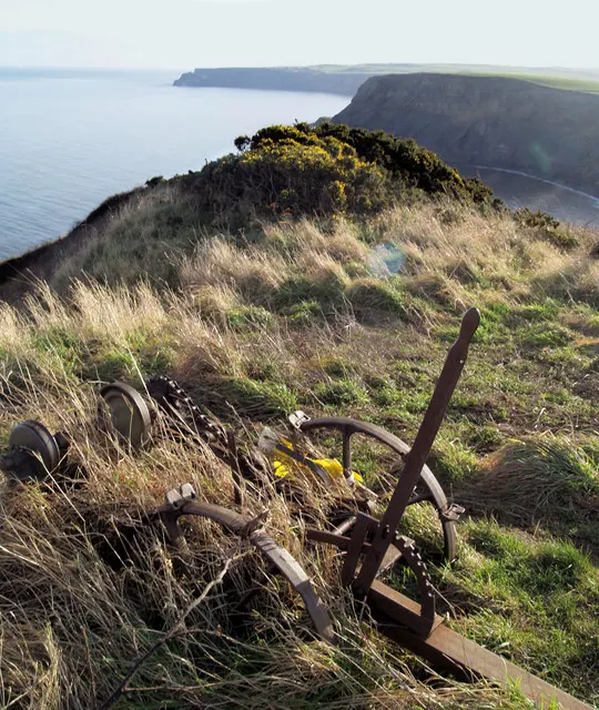
© Steve Fareham · Geograph · CC BY-SA 2.0
Images © their respective photographers, licensed under CC BY-SA 2.0 and reused here with attribution. Photographs depict listed buildings, churches and monuments near this settlement and may show neighbouring villages.
Data derived from the Open Domesday project (opendomesday.org), based on the Domesday Book dataset compiled by Professor J.J.N. Palmer and team. The Domesday Book (1086) is in the public domain.
Found an inaccuracy? [email protected]