Ogston in the Domesday Book (1086)
Ogston is named in the Domesday Book, compiled by Norman commissioners in 1086, entered under the hundred of Scarsdale in Derbyshire.
Other Settlements in Scarsdale
- Alfreton
- Ashover
- Barlborough
- Barlow
- Beighton
- Blingsby
- Bolsover
- Boythorpe
- Bramley [Vale]
- Brimington
- Calow
- Chesterfield
- Clowne
- Dore
The Meaning of the Name
The name Ogston is of Anglo-Saxon origin. Its final element derives from the Old English word tūn, a farmstead or village. The first element is most likely a personal name or an early descriptive term, now difficult to recover with certainty. Taken together the name probably meant something close to ‘a farmstead’.
Remarkably, the name has changed little since 1086, when the Domesday scribes wrote it as Ogston.
Listed Buildings Near Ogston
Historic England records 33 listed buildings within about a mile of Ogston. Listing protects structures of special architectural or historic interest, graded I (exceptional), II* (particularly important) and II.
Grade II
- Ogston Lane Bridge (SPC8 65) - 0.25 km
- 11, Main Road - 0.42 km
- Mile Post 14 Metres North of Quarry Farmhouse, Higham - 0.44 km
- Well Farm, No 10 and attached barn - 0.45 km
- 13, 13A, 14, and 15, Higham, Main Road - 0.45 km
- Holly Tree Farmhouse - 0.48 km
- Nos 22 and 23 Higham - 0.48 km
- The Haven, Higham - 0.52 km
- Bull Farmhouse, Higham - 0.52 km
- Stable Block to East of Bull Farmhouse, Higham - 0.54 km
- Nos 26, 27 and 28 With Attached Barn, Higham - 0.56 km
- Village Cross, Higham - 0.56 km
- Number 29 and Attached Cottage - 0.57 km
- Cross House - 0.59 km
- The Crown Hotel and no 32, Higham - 0.68 km
- 33, Main Road - 0.7 km
- Higham House - 0.71 km
- 77 and 79, Higham - 0.72 km
- Holmes Water Bridge (SPC8 64) - 0.73 km
- No 43, Higham - 0.73 km
- Pigeoncote 3 miles southwest of Old Forge Cottage - 0.75 km
- Barn and Attached Walls to East of Ford Farm - 0.79 km
- Sundial to South of Ogston Hall - 0.82 km
- 53 Main Road - 0.83 km
…and 9 more listed structures in the area.
Nearby Domesday Settlements
Other places recorded in the 1086 survey within a few miles:
Heritage Around Ogston
Photographs of churches, listed buildings and monuments in the vicinity, contributed by volunteers to the Geograph project and reused here under a Creative Commons licence.
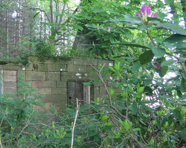
© Nikki Mahadevan · Geograph · CC BY-SA 2.0
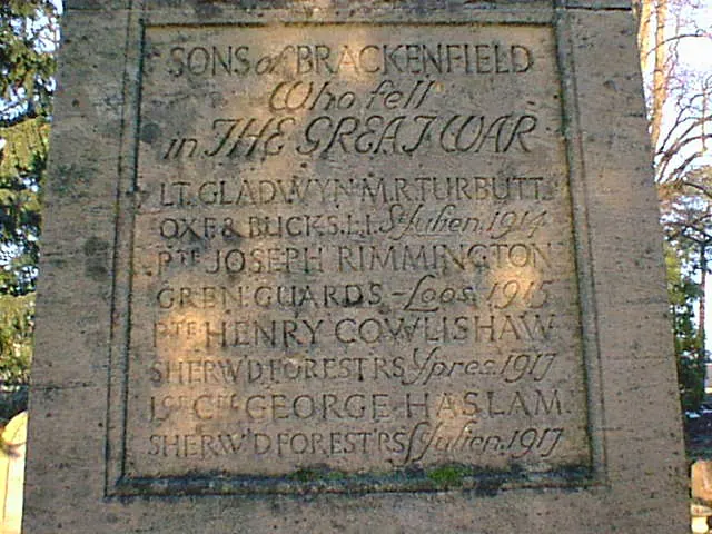
© Alan Heardman · Geograph · CC BY-SA 2.0
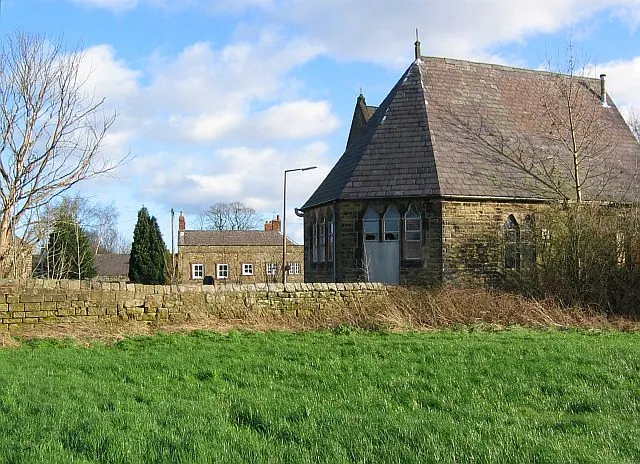
© Nikki Mahadevan · Geograph · CC BY-SA 2.0
Images © their respective photographers, licensed under CC BY-SA 2.0 and reused here with attribution. Photographs depict listed buildings, churches and monuments near this settlement and may show neighbouring villages.
Data derived from the Open Domesday project (opendomesday.org), based on the Domesday Book dataset compiled by Professor J.J.N. Palmer and team. The Domesday Book (1086) is in the public domain.
Found an inaccuracy? [email protected]