Oglethorpe Hall in the Domesday Book (1086)
Oglethorpe Hall appears in the Domesday Book of 1086, entered under the hundred of Barkston in Yorkshire.
Other Settlements in Barkston
- Barkston
- Barlow
- Birkin
- Bramham
- Brayton
- Burton [Hall]
- Camblesforth
- Carlton
- Clifford
- Drax
- Fairburn
- Grimston [Grange]
- Hambleton
- Hazelwood [Castle]
The Meaning of the Name
The name Oglethorpe Hall is of Scandinavian origin. Its final element derives from the Old Norse word þorp, an outlying or secondary farmstead. The first element is most likely a personal name or an early descriptive term, now difficult to recover with certainty. Taken together the name probably meant something close to ‘a outlying farm’.
Names of this type are a fingerprint of Scandinavian settlement: they cluster across the old Danelaw, where Norse-speaking settlers renamed or founded villages from the late 9th century onward.
Remarkably, the name has changed little since 1086, when the Domesday scribes wrote it as Oglethorpe Hall.
Listed Buildings Near Oglethorpe Hall
Historic England records 10 listed buildings within about a mile of Oglethorpe Hall. Listing protects structures of special architectural or historic interest, graded I (exceptional), II* (particularly important) and II.
Grade II
- Gatepiers and Garden Wall to Oglethorpe Old Hall Farmhouse at Se446 442 - 0.25 km
- Wharfe Bridge - 0.94 km
- Number 279 and Attached Screen Walls - 1.11 km
- Fairseat Cottage - 1.2 km
- Wharfedale House - 1.22 km
- Willow Green - 1.23 km
- 267, High Street - 1.23 km
- Brook House - 1.23 km
- Riverside Retaining Wall With Attached Outbuilding on North Side of Number 267 - 1.26 km
- Milestone Opposite Junction With Croft Lane - 1.28 km
Scheduled Monuments Near Oglethorpe Hall
Scheduled monuments are nationally important archaeological sites given legal protection. 2 lie within roughly a mile of Oglethorpe Hall:
- Toulston medieval village, manor house site and early garden earthworks - 0.76 km
- Two Roman forts, two Roman camps, vicus, Iron Age enclosure, Bronze Age barrows and Neolithic henge monument west of Newton Kyme - 1.17 km
Nearby Domesday Settlements
Other places recorded in the 1086 survey within a few miles:
- Toulston - 1.0 km E
- Newton Kyme - 2.0 km E
- Clifford - 2.0 km W
- Thorp Arch - 2.2 km NW
- Bramham - 2.8 km SW
- Walton - 3.0 km N
Heritage Around Oglethorpe [Hall]
Photographs of churches, listed buildings and monuments in the vicinity, contributed by volunteers to the Geograph project and reused here under a Creative Commons licence.
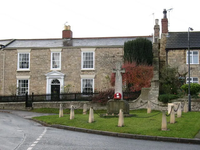
© Gordon Hatton · Geograph · CC BY-SA 2.0
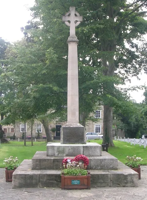
© Betty Longbottom · Geograph · CC BY-SA 2.0
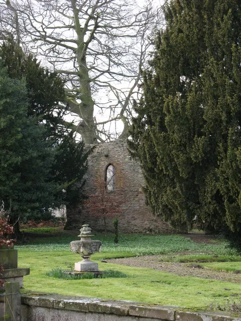
© Gordon Hatton · Geograph · CC BY-SA 2.0
Images © their respective photographers, licensed under CC BY-SA 2.0 and reused here with attribution. Photographs depict listed buildings, churches and monuments near this settlement and may show neighbouring villages.
Data derived from the Open Domesday project (opendomesday.org), based on the Domesday Book dataset compiled by Professor J.J.N. Palmer and team. The Domesday Book (1086) is in the public domain.
Found an inaccuracy? [email protected]