Occleston in the Domesday Book (1086)
Occleston appears in the Domesday Book of 1086, entered under the hundred of Middlewich in Cheshire. The survey assessed Occleston at 4 carucates of taxable land.
The numbers record a sharp fall. Before 1066, Occleston was worth 1.5 shillings; by 1086 that had dropped to 5d – a fall of 83%. Most Yorkshire villages that lost value on this scale were swept up in the Harrying of the North – William’s scorched-earth campaign of 1069–70.
Other Settlements in Middlewich
- Alsager
- Bostock
- Brereton
- Byley
- Clive
- Congleton
- Croxton
- Davenham
- Davenport
- Goostrey
- Hassall
- Kinderton
- Lach [Dennis]
- Leftwich
The Meaning of the Name
The name Occleston is of Anglo-Saxon origin. Its final element derives from the Old English word tūn, a farmstead or village. The first element is most likely a personal name or an early descriptive term, now difficult to recover with certainty. Taken together the name probably meant something close to ‘a farmstead’.
Remarkably, the name has changed little since 1086, when the Domesday scribes wrote it as Occleston.
Listed Buildings Near Occleston
Historic England records 3 listed buildings within about a mile of Occleston. Listing protects structures of special architectural or historic interest, graded I (exceptional), II* (particularly important) and II.
Grade II
- Old Hough Farm House - 0.38 km
- Mill Lodge - 0.9 km
- Park House - 1.25 km
Occleston Today
Today Occleston lies within the administrative area of Stanthorne and Wimboldsley.
Read more about modern Occlestone Green on Wikipedia .
Nearby Domesday Settlements
Other places recorded in the 1086 survey within a few miles:
- Wimboldsley - 1.0 km W
- Tetton - 2.2 km NE
- Sutton - 2.2 km NE
- Minshull Vernon - 2.8 km SW
- Newton - 3.2 km N
- Weaver - 3.6 km NW
Heritage Around Occleston
Photographs of churches, listed buildings and monuments in the vicinity, contributed by volunteers to the Geograph project and reused here under a Creative Commons licence.
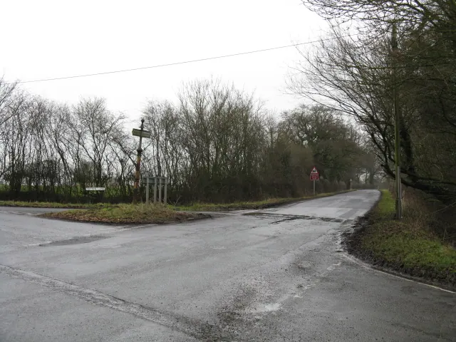
© Peter Whatley · Geograph · CC BY-SA 2.0
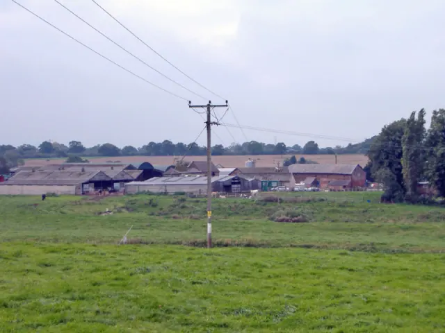
© Mike Harris · Geograph · CC BY-SA 2.0
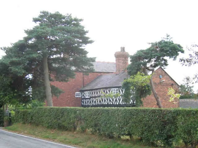
© Stephen Craven · Geograph · CC BY-SA 2.0
Images © their respective photographers, licensed under CC BY-SA 2.0 and reused here with attribution. Photographs depict listed buildings, churches and monuments near this settlement and may show neighbouring villages.
Data derived from the Open Domesday project (opendomesday.org), based on the Domesday Book dataset compiled by Professor J.J.N. Palmer and team. The Domesday Book (1086) is in the public domain.
Found an inaccuracy? [email protected]